HDYC -(5)

Sunday 11th June, 2023 found us at the Alice Springs international airport collecting Peter’s eldest daughter Catherine & her 2 & a half year old daughter Georgia. It was awesome to see them again & looking forward to having them both spending a week here at Hamilton Downs Youth Camp with us. The red gums were flowering in the airport carpark so I had to take a pic – they were quite beautiful.

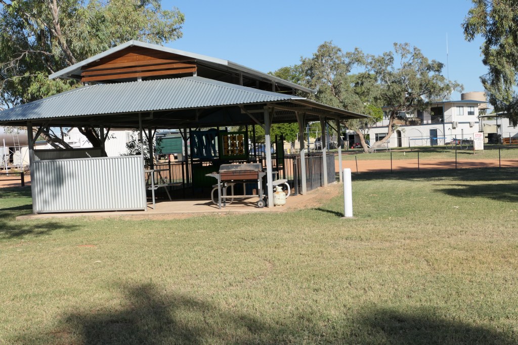
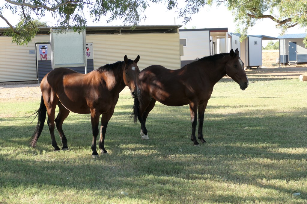
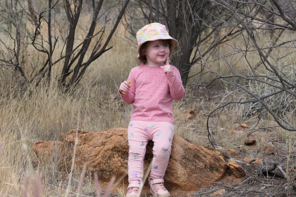
Catherine & Georgia do a few rounds of the camp grounds when we don’t have clients or when they are out walking & she does an inspection of the ablution block, bunkhouses & kitchen area also checks out the red tractor.

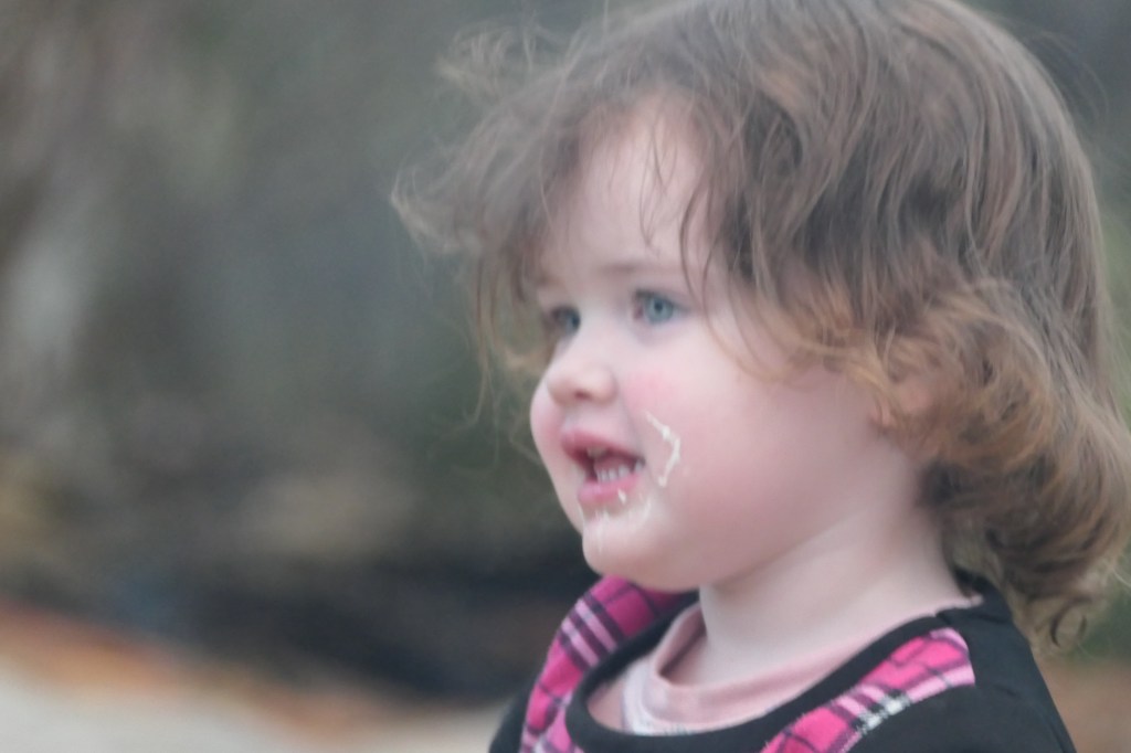
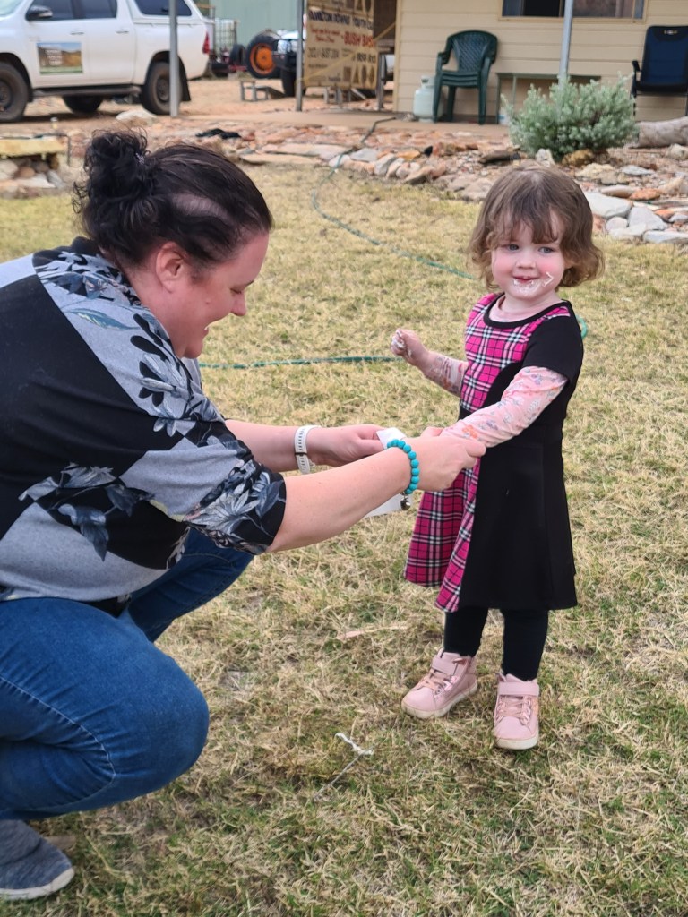
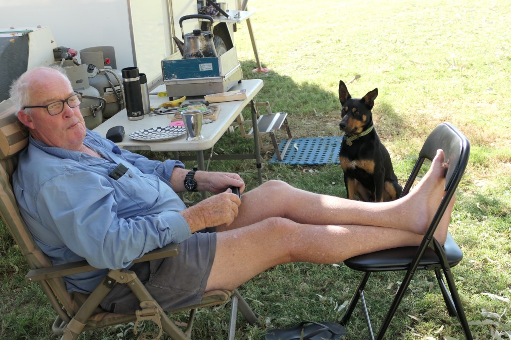
Grandpa was the chief marsh mellow cook, not sure how much actually made it into Georgia’s mouth but she seemed happy with the gooo.

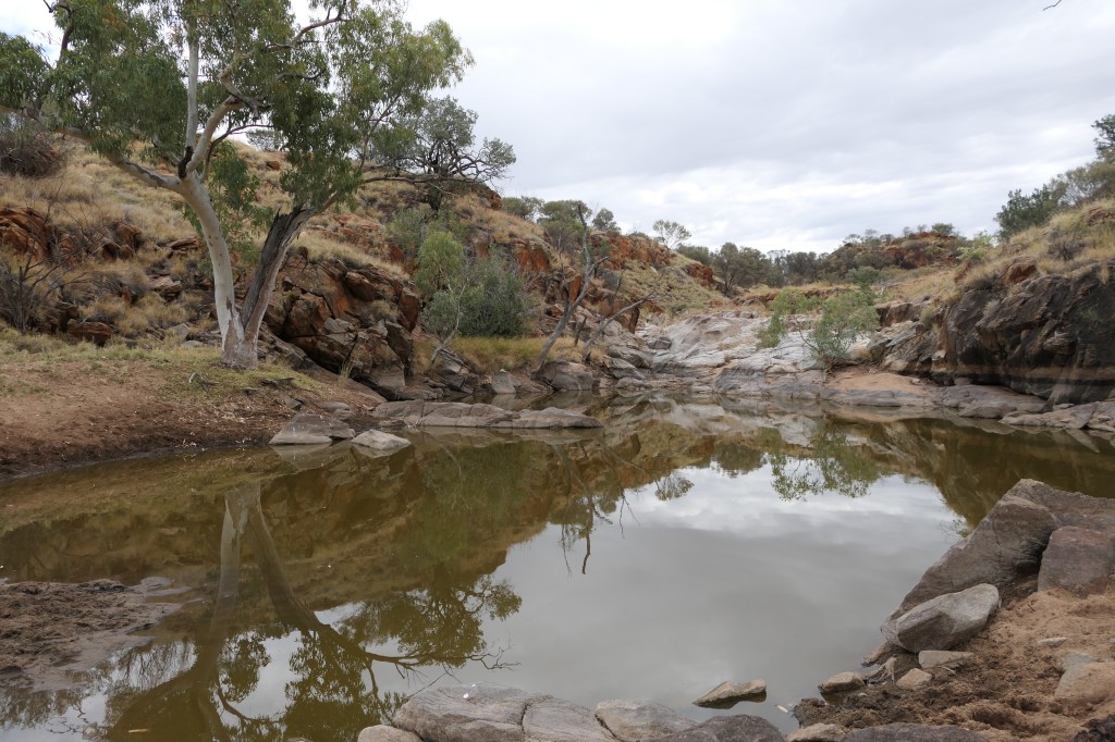
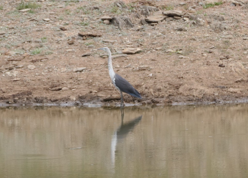
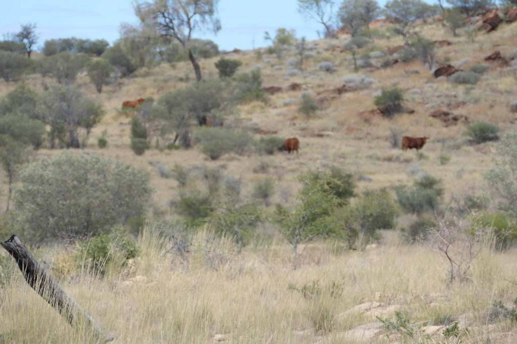
Went for a drive down a track & found a small waterhole obviously the cows drink from it with lotz of ‘paddies’ on the ground. We found another track which took us over lotz of rocks & to another watering hole for the cattle, there was quite a few cattle at this one as well as a heron & lotz of finches. We stopped for a small walk, had a snack before heading back to camp – quite an enjoyable few hours.

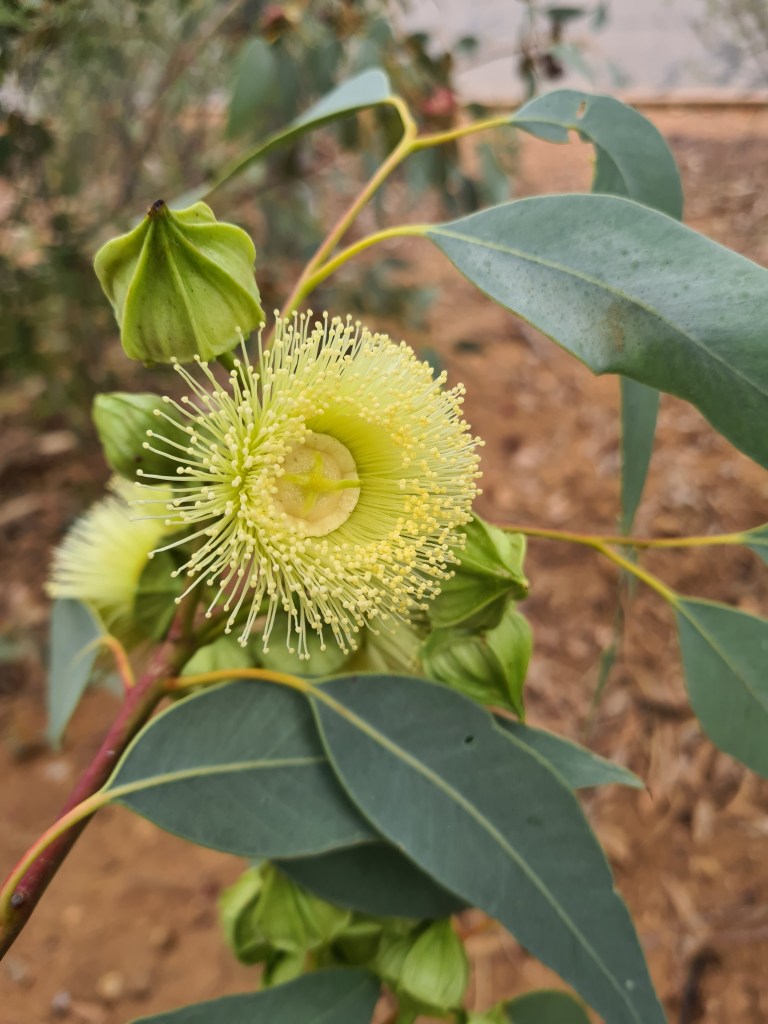
red gum flowers
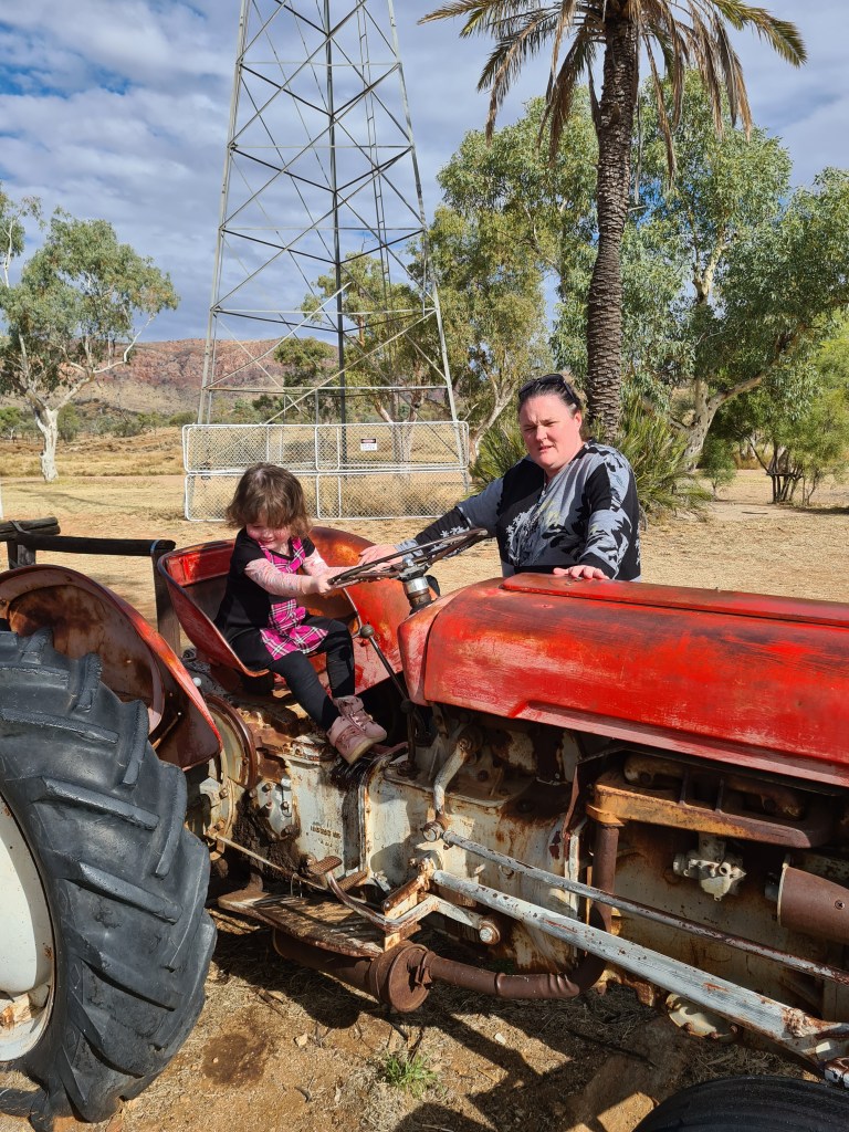
new red tractor driver

marsh mellow cook
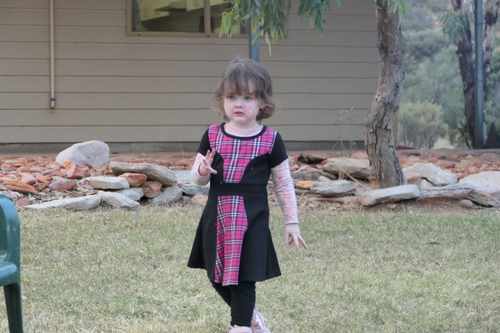
Mum cleaning up after feast
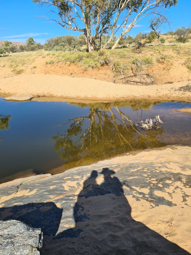
found a small waterhole on 1 of our drives
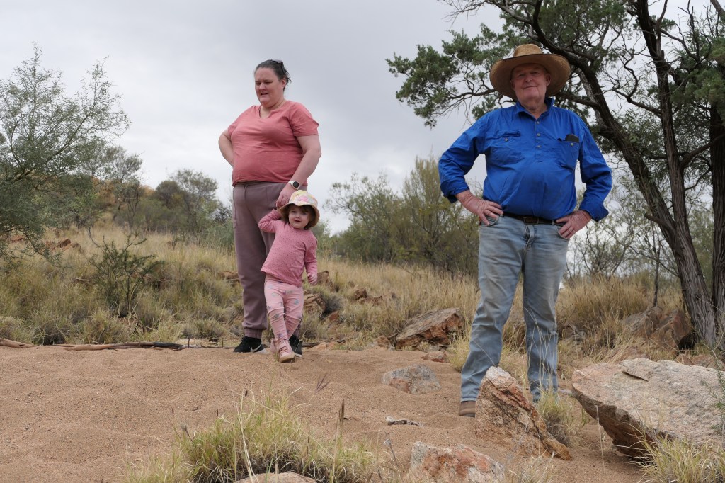
not getting too close to the water
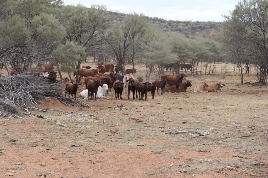
white neck heron being monitored by the moo’s
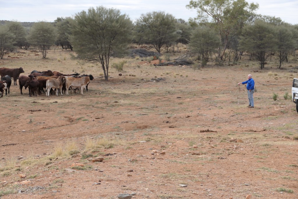
Moo’s checking out Peter…….
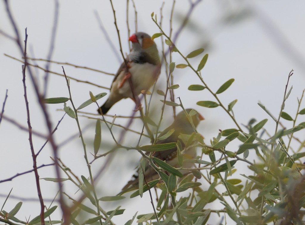
Double barred finches in the bush near the dam
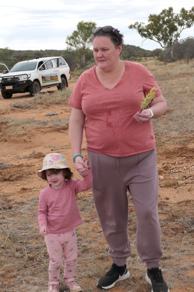
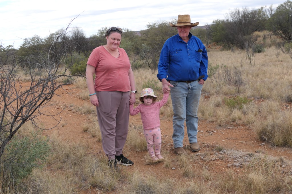
going for a little walk
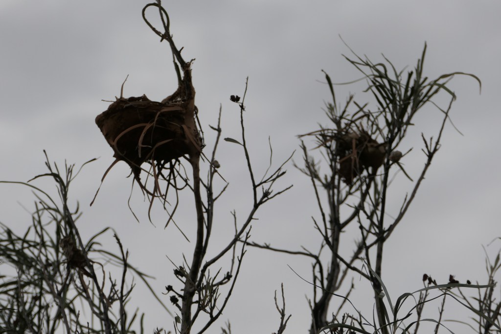
weird looking nest
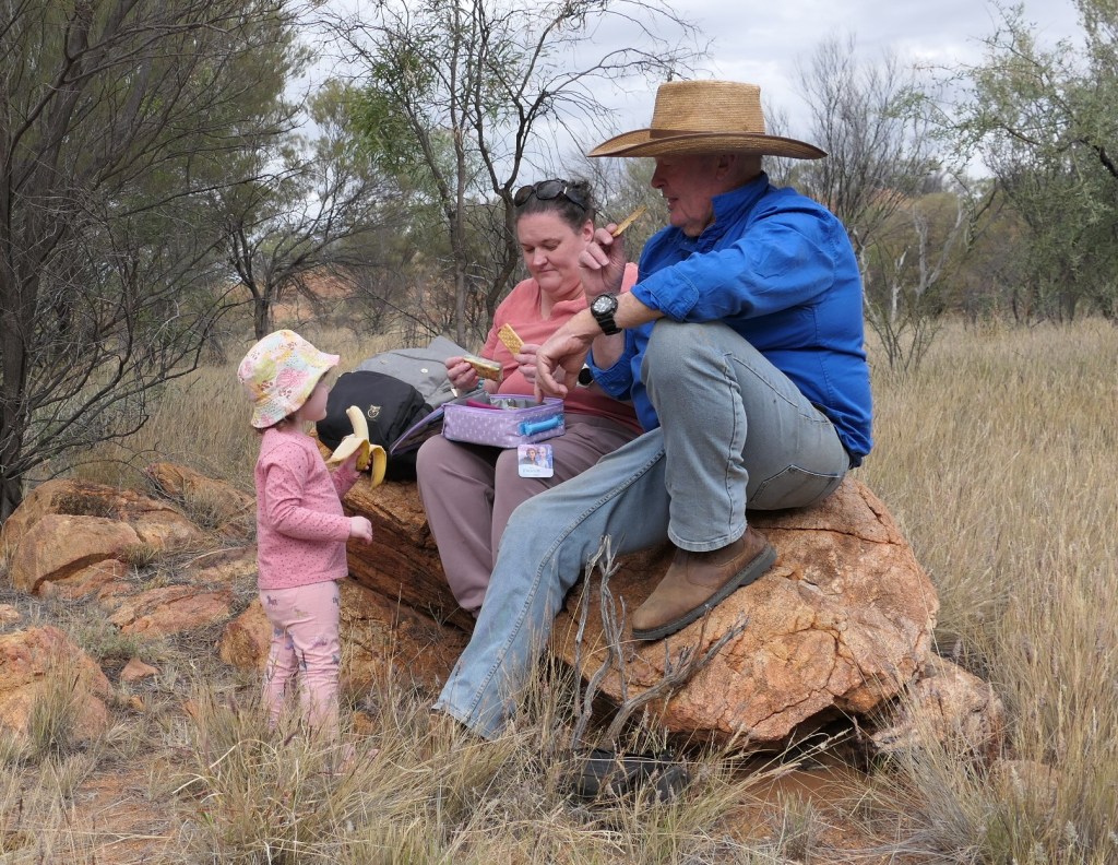
snack time
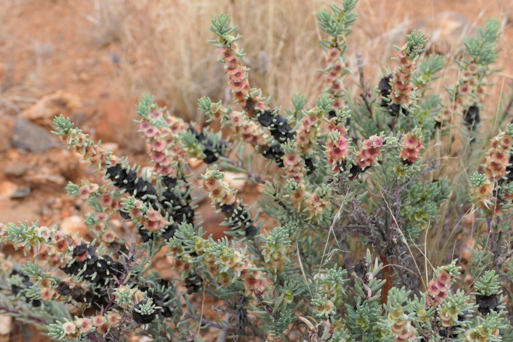
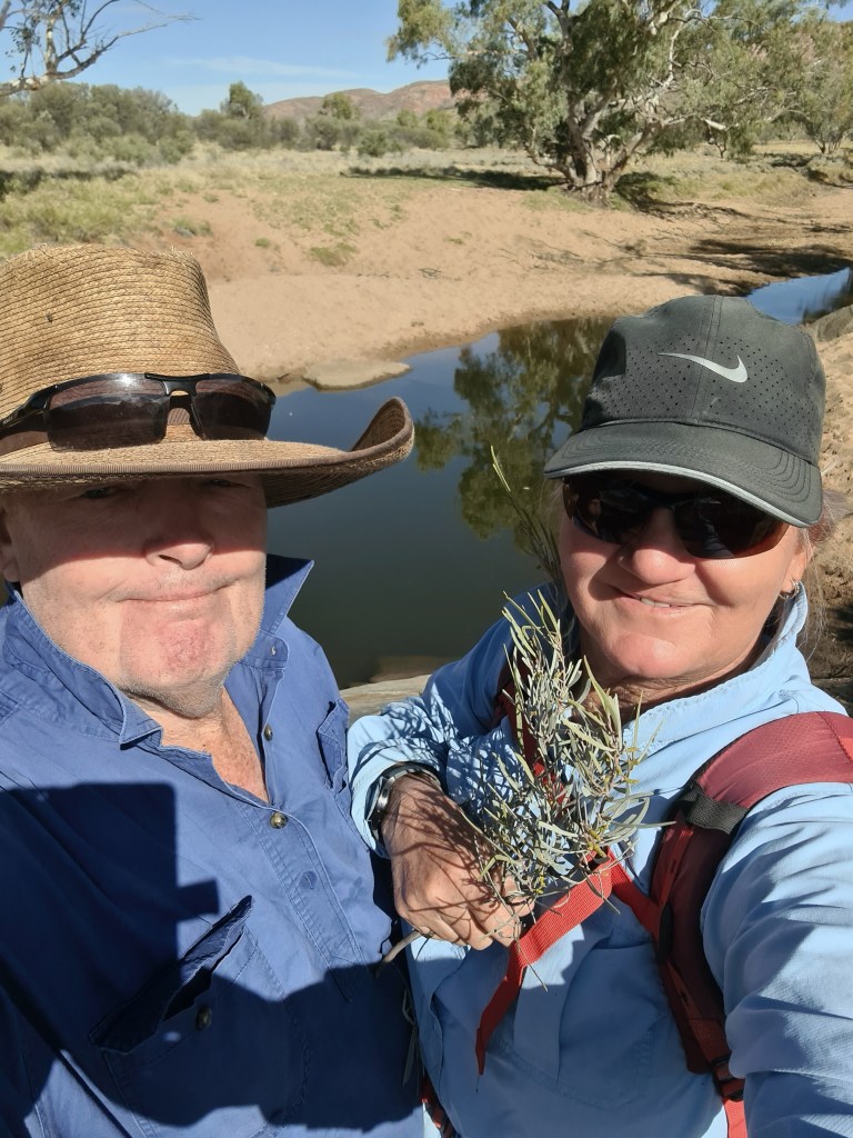
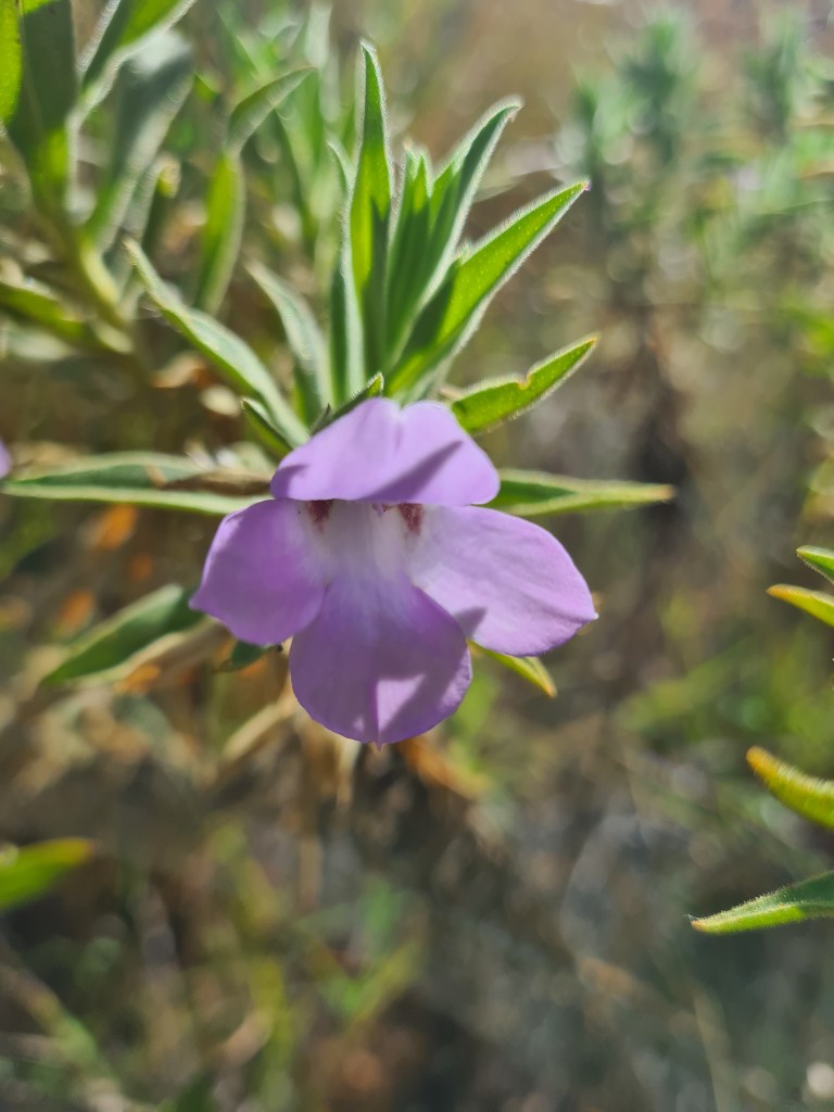
Shrubby sea-bite

Ruby saltbush
HDYC – (4)

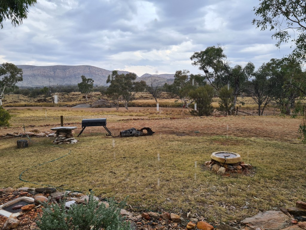
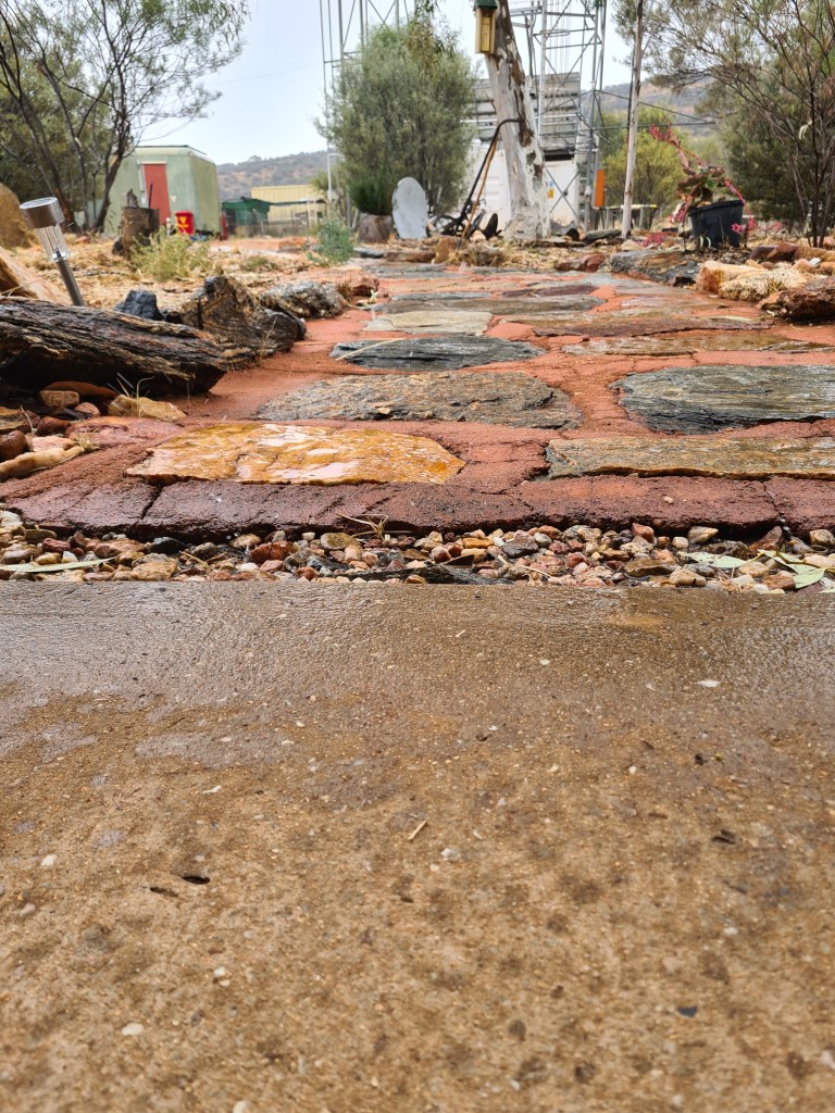
Just a quick note – we had rain, well sort of – 2mls but it was nice.

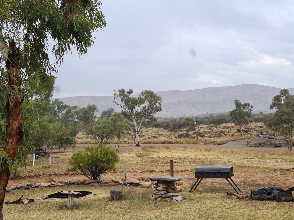
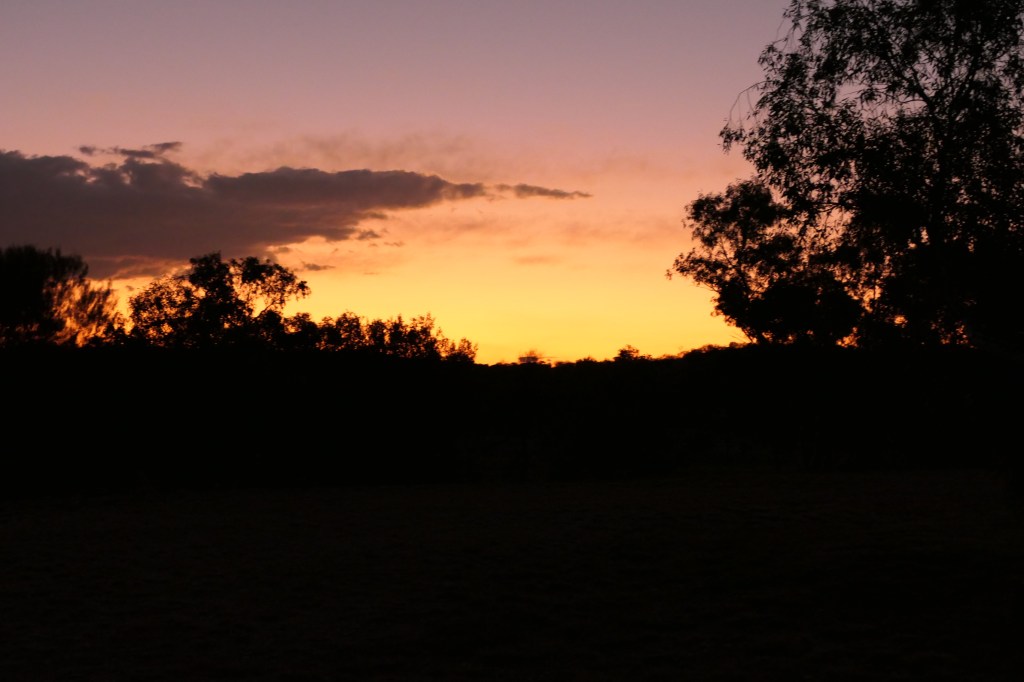
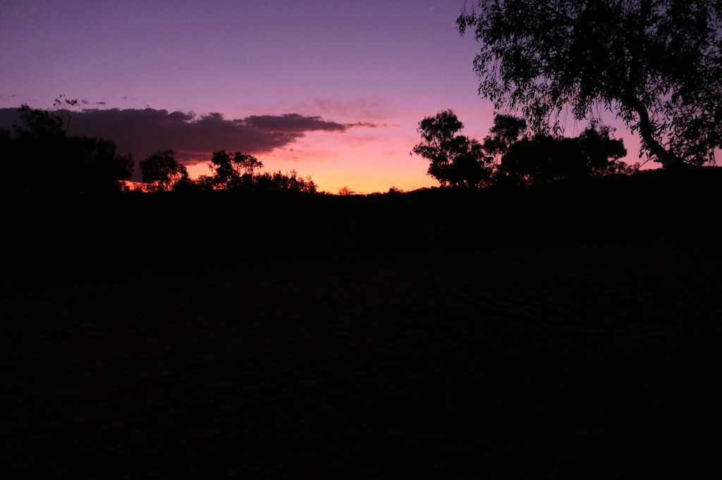
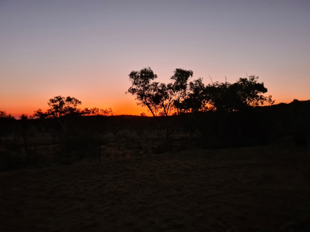
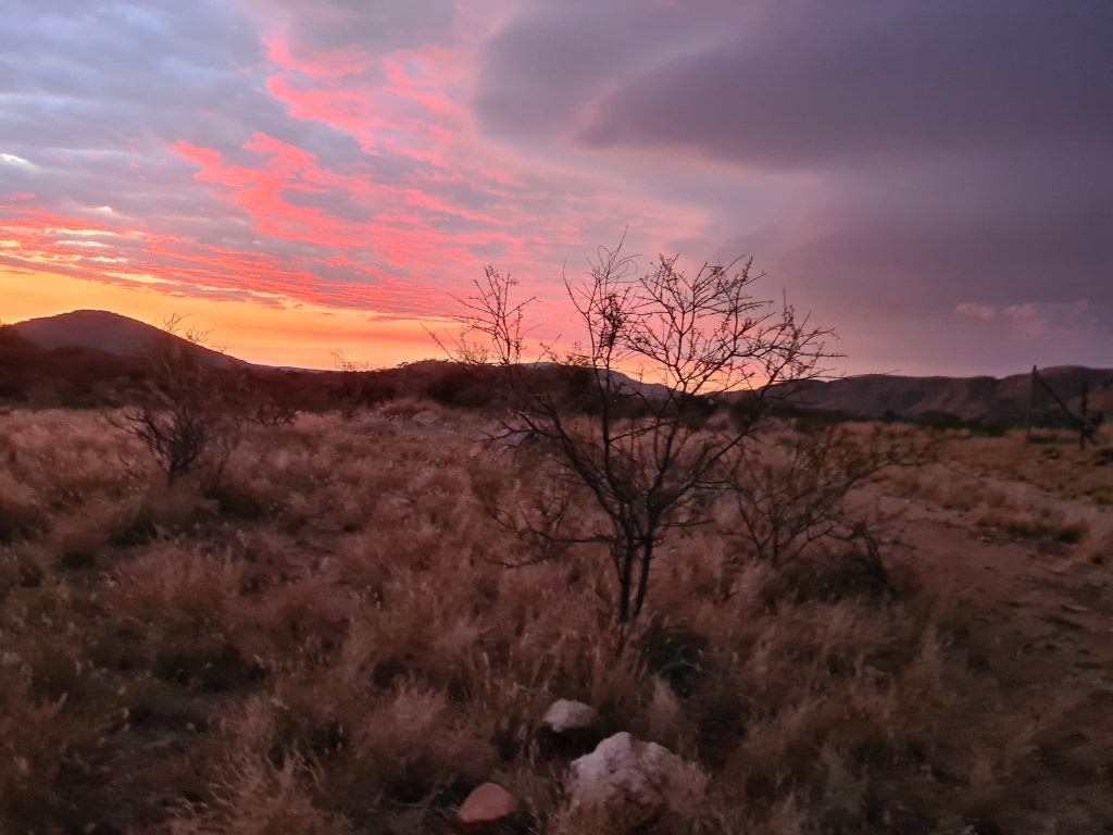
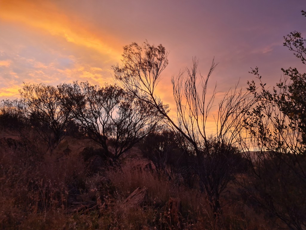
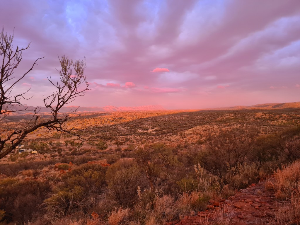
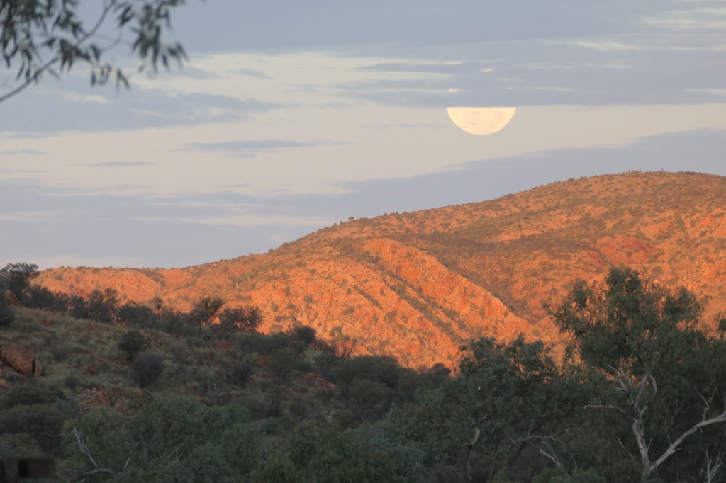
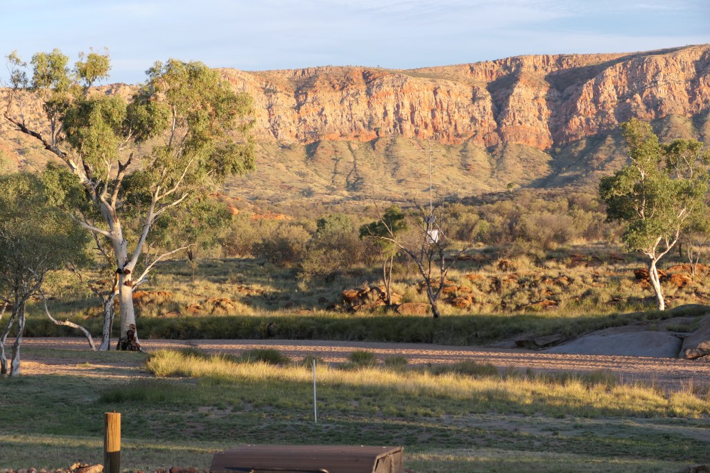
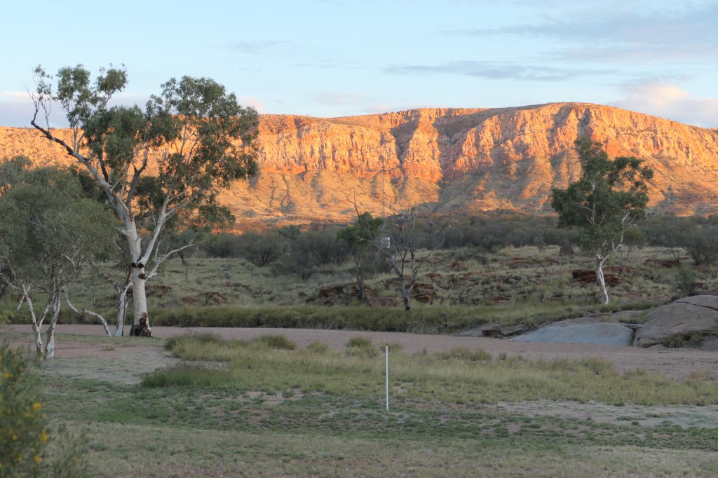
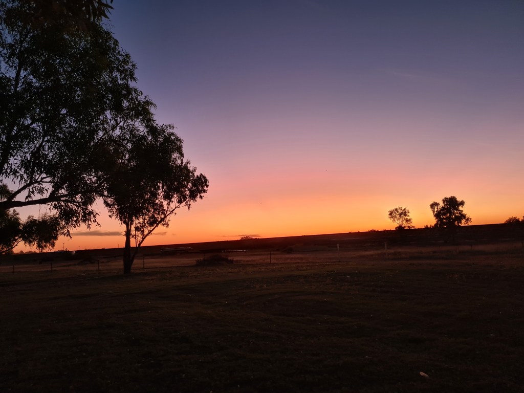
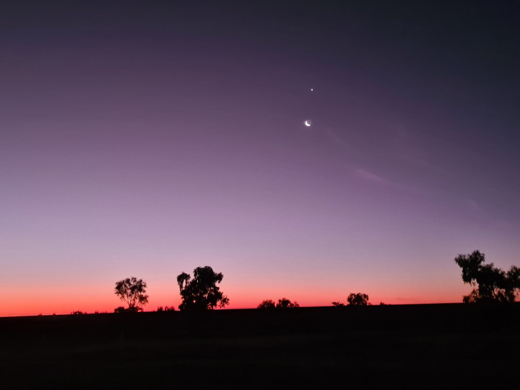
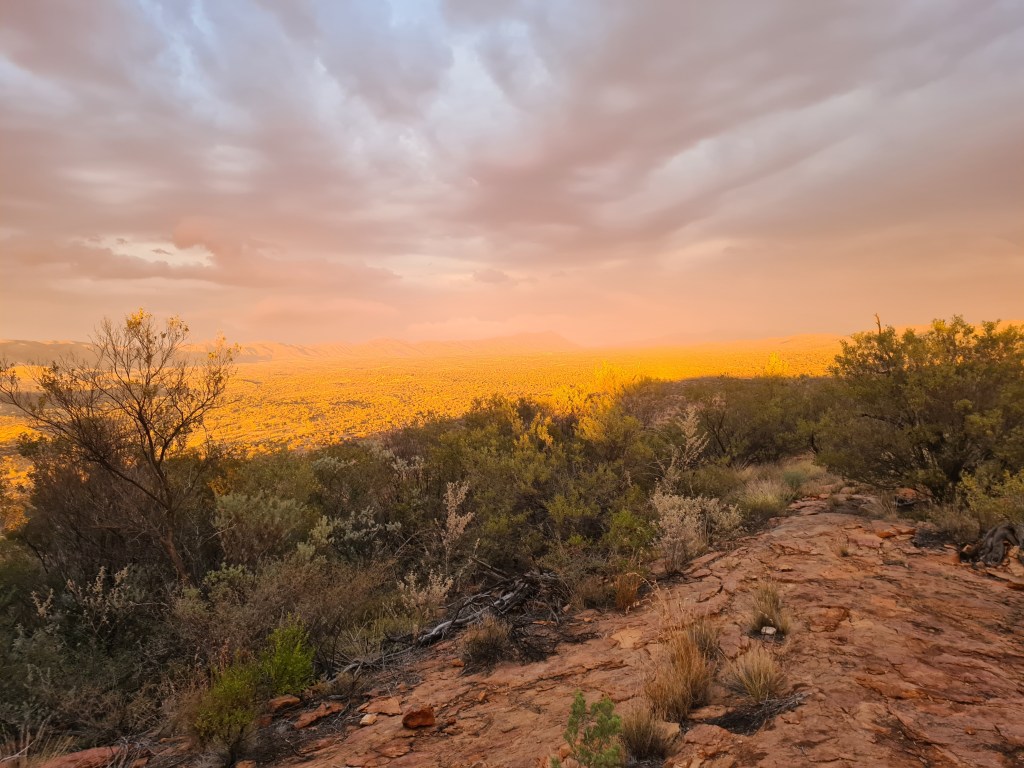
The sunrises & sunsets are pretty amazing on the Chewings Ranges which is part of the West McDonald Ranges (our back yard), unfortunately my photos don’t really do justice to the real thing because it is pretty amazing.

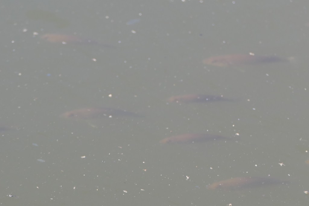
The boney bream which are quite plentiful in the waterhole behind the camp are growing in size not sure about their life span, Catherine has been googling & it says that once the water dries up they do too………

proof of the rain

can actually see the drops…

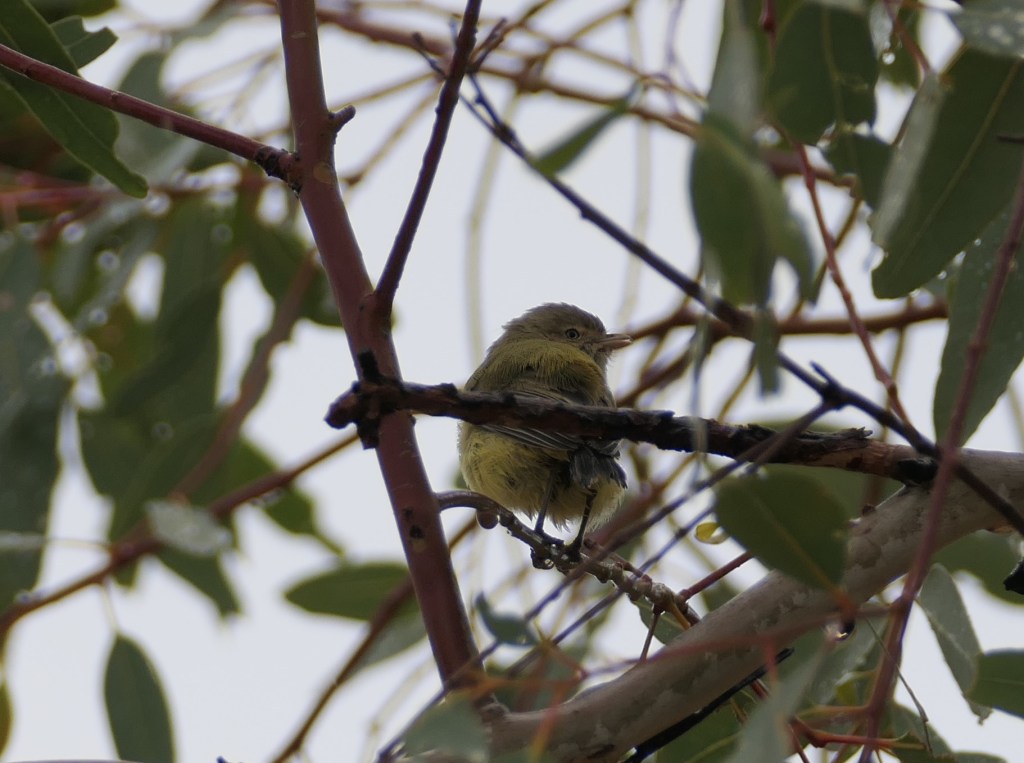
? not sure but lotz of these very small birds

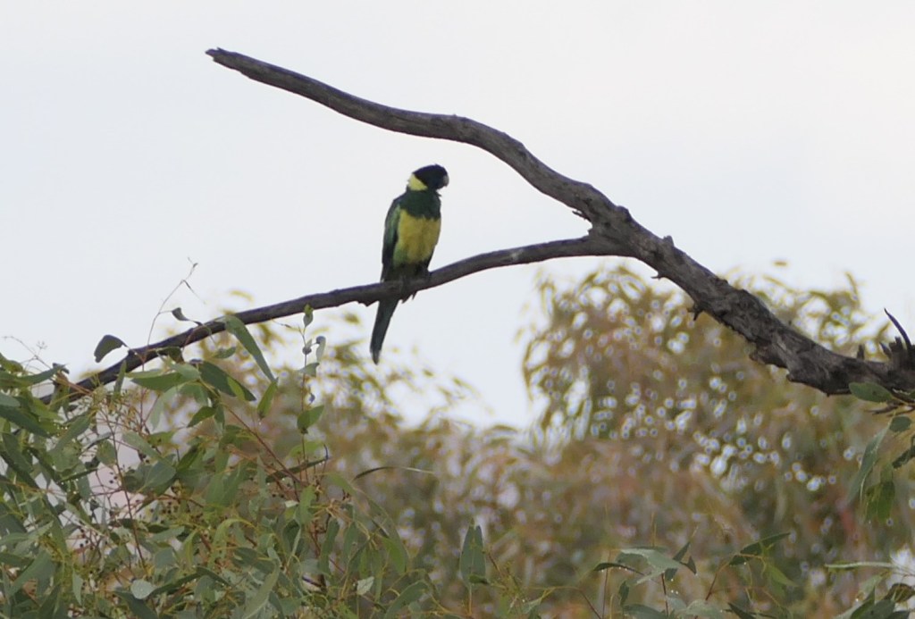
Ringneck getting a little damp

Rain coming our way

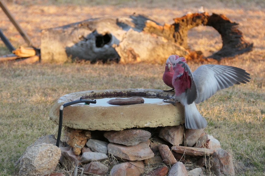
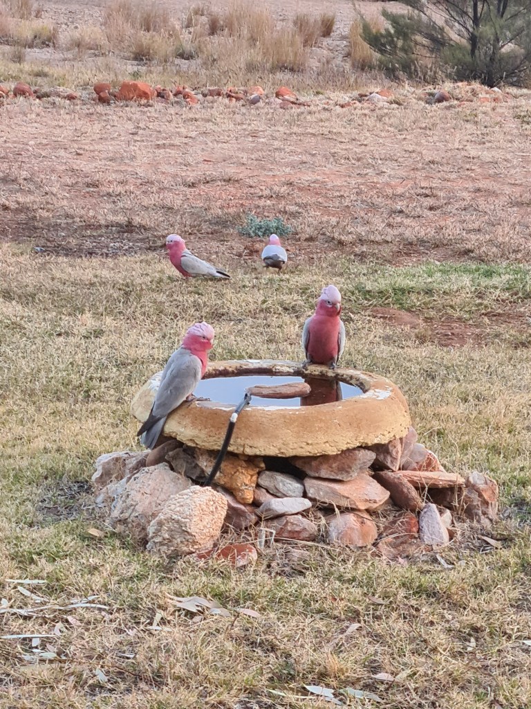
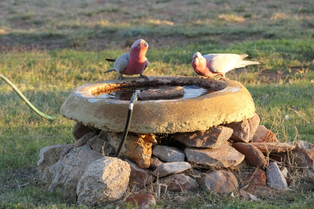
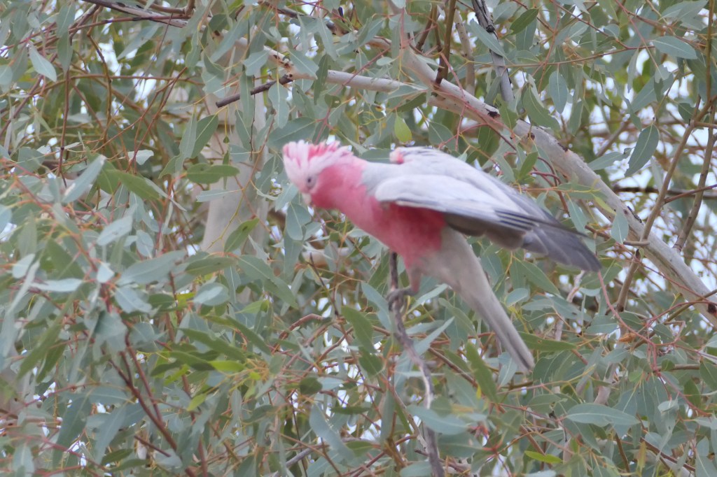
entertaining galahs

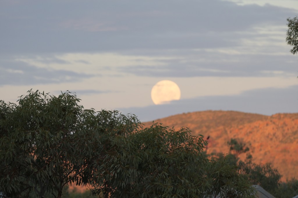
So many awesome sunsets

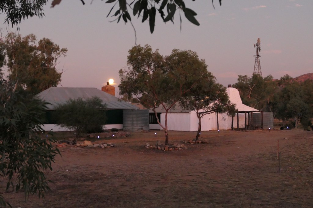
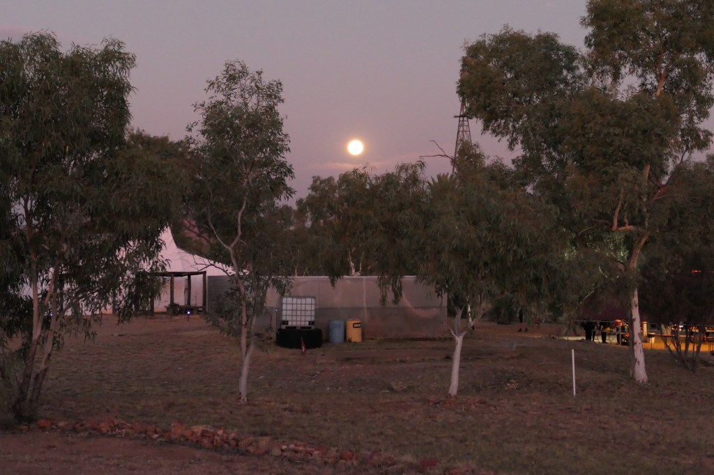
here comes the moon

Bony bream in the waterhole near camp

not sure, still looking.

HDYC – (3)

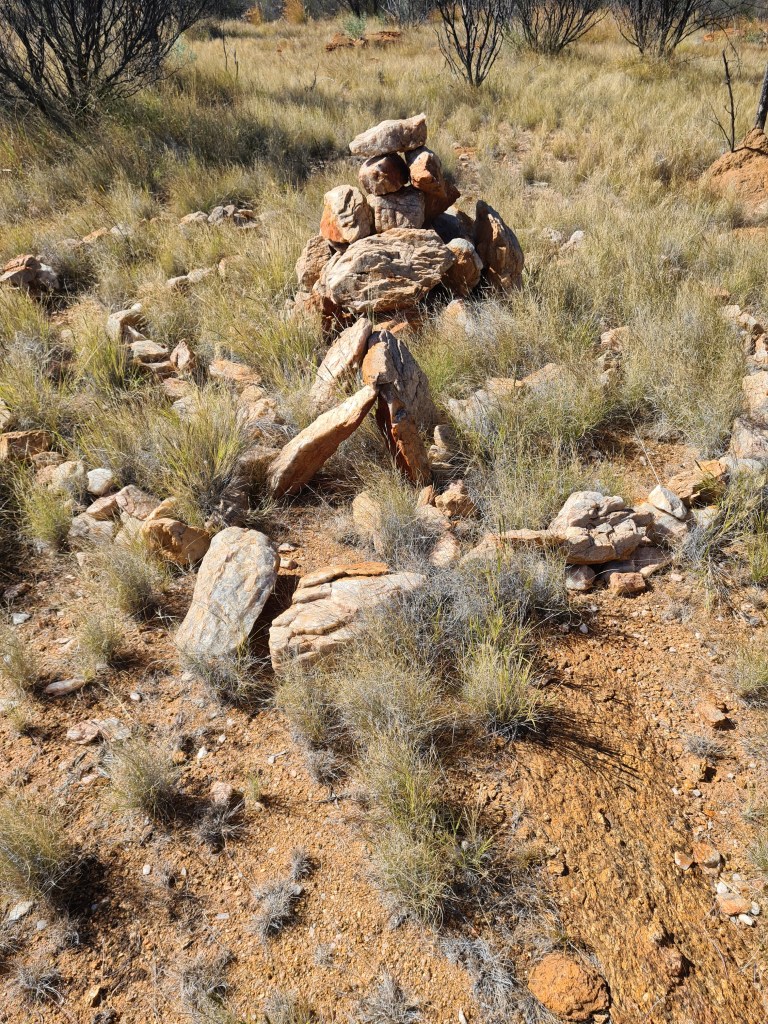
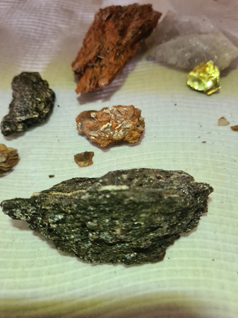
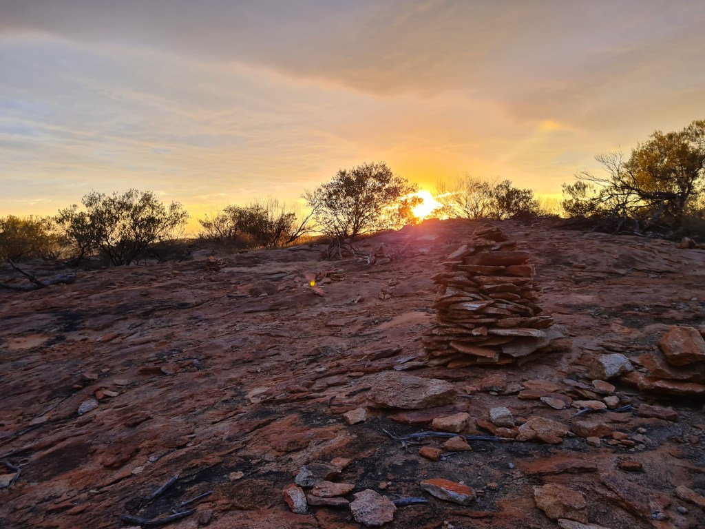
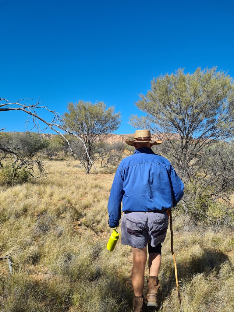
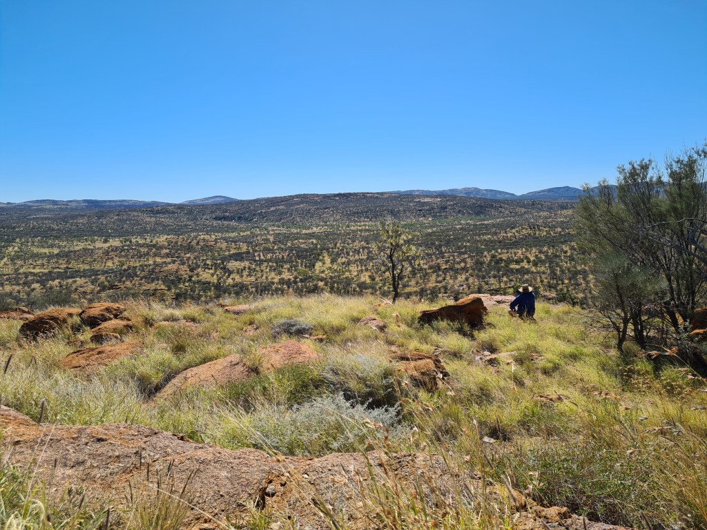
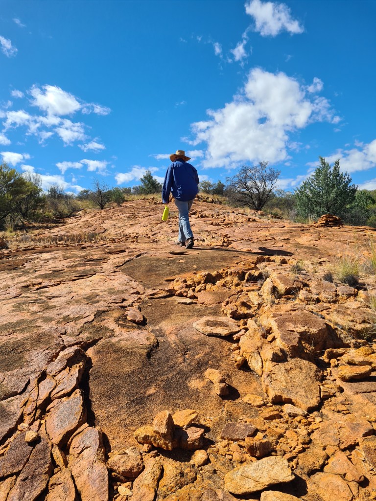
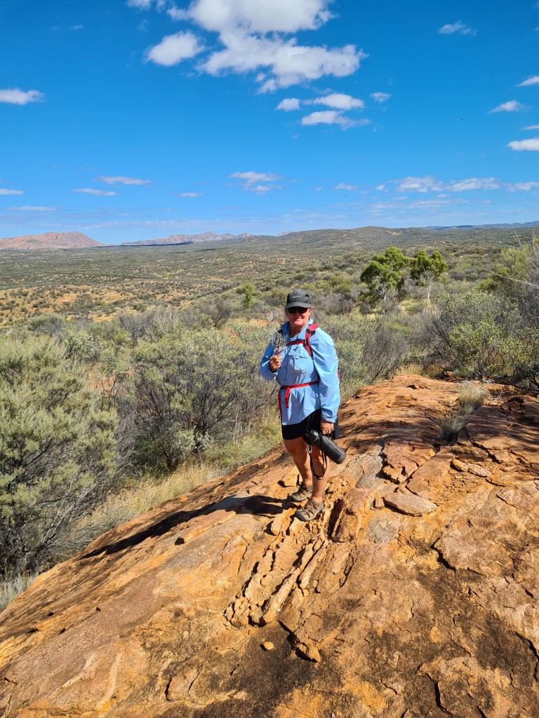
Drovers Hill a popular short but steep walk out of camp, approximately 2km return trip from our back door, an enjoyable walk that does get the heart rate moving, it is a popular walk for most camping groups that visit here & from the top of the hill the vista is amazing especially at sunrise or sunset. On one of our other walking jaunts we came across a ‘direction marker’ (a sort of rock cairn) not sure where its final destination would be but it was rather cute, we decided to try & follow the direction it was pointed in, took us up & down hills until after a couple hours we were on top of a ridge & couldn’t really pinpoint anything particular. But it was an enjoyable walk. There is so much ‘mica’ in & around the hills surrounding the youth camp, micas are a group of silicate minerals with layered structure and is used in many different ways eg. coating & weather proofing, batteries, beauty products – these are just a few of its many uses.

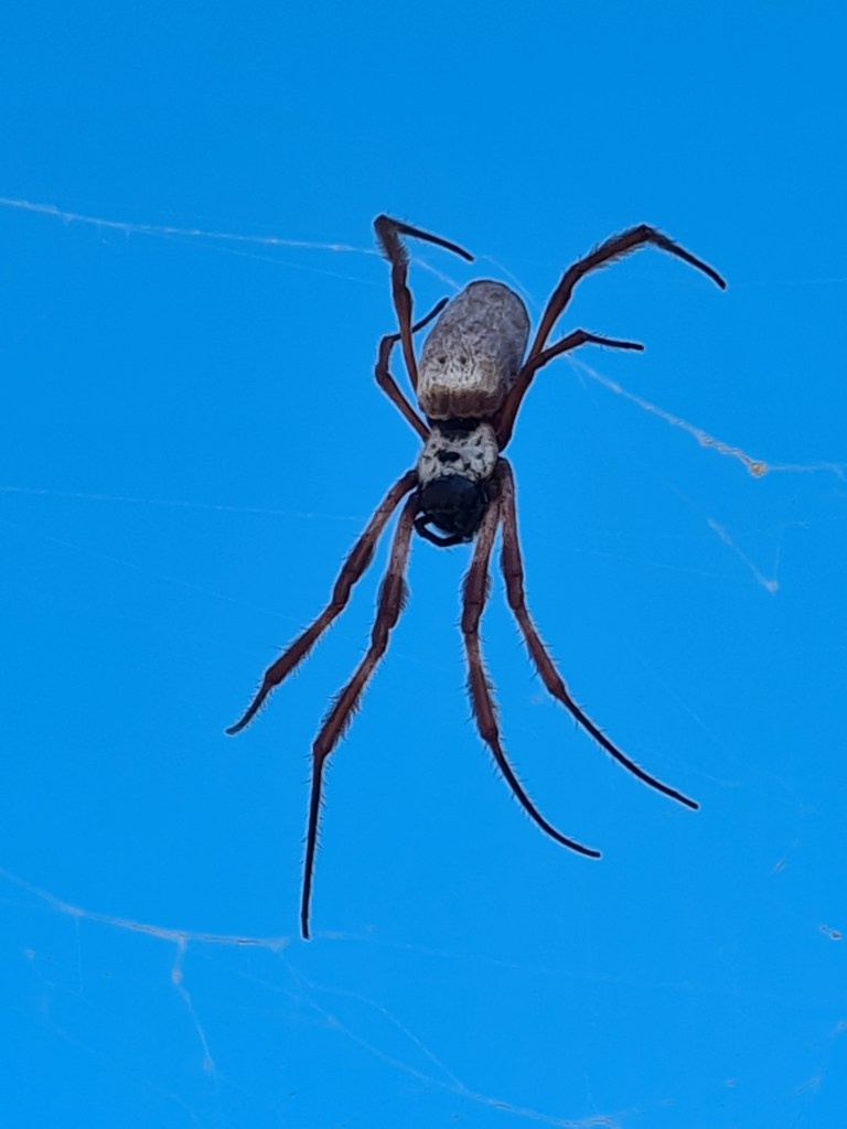
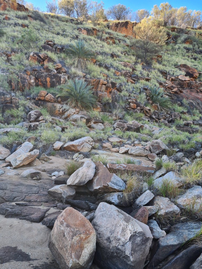
We came across this amazing rock boulder just balancing on another rock, not sure if I would trust it 100% but we didn’t get too close on the downhill side. We have discovered that its much easier to follow the cow tracks while out walking through the shrub but its not always possible especially when going up hills. Spiders & their amazingly strong webs are everywhere, definitely have to stay alert when walking through the scrub.

direction marker

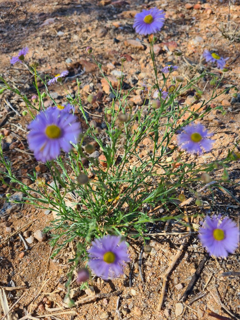
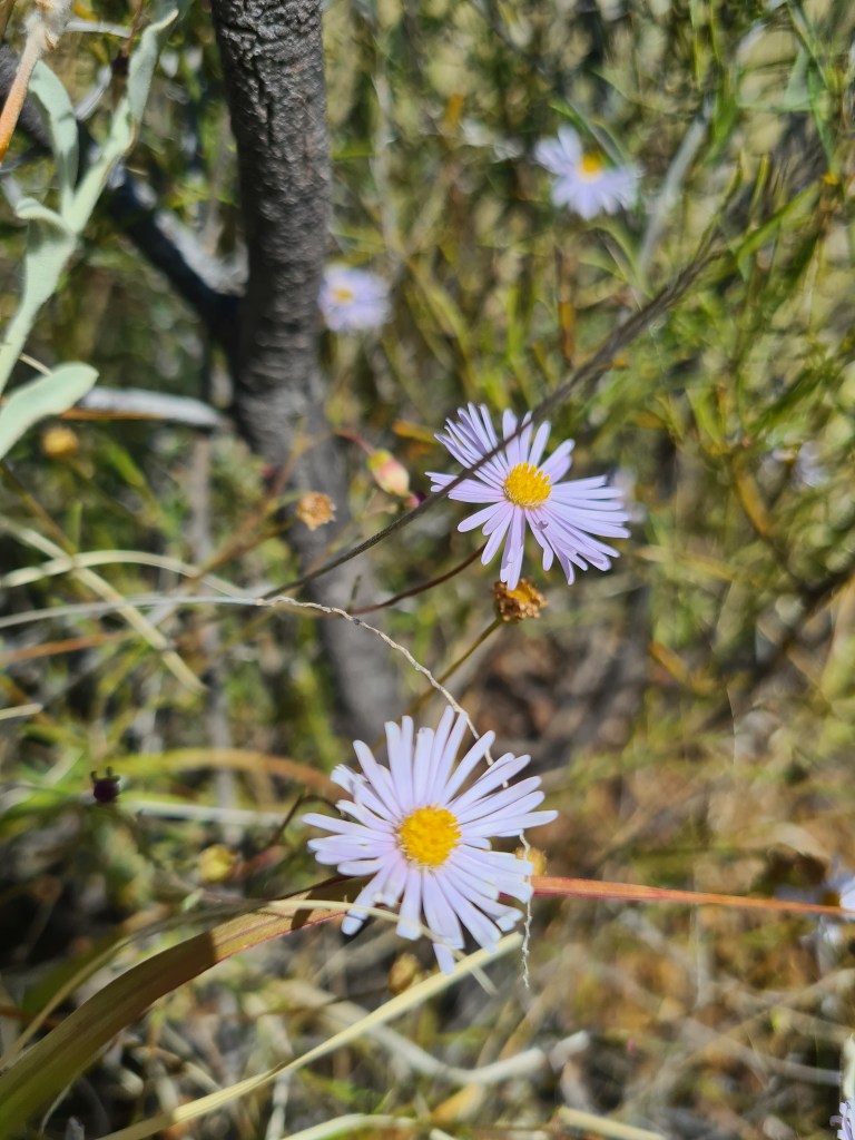
California aster – they are everywhere at the moment

Mica

interesting boulder

a nice portrait

following cow tracks

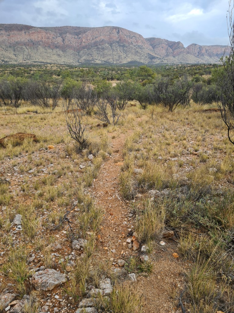
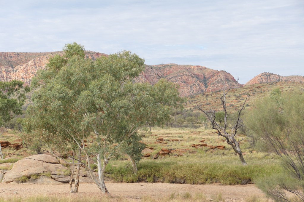
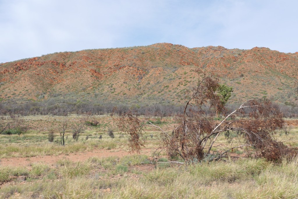
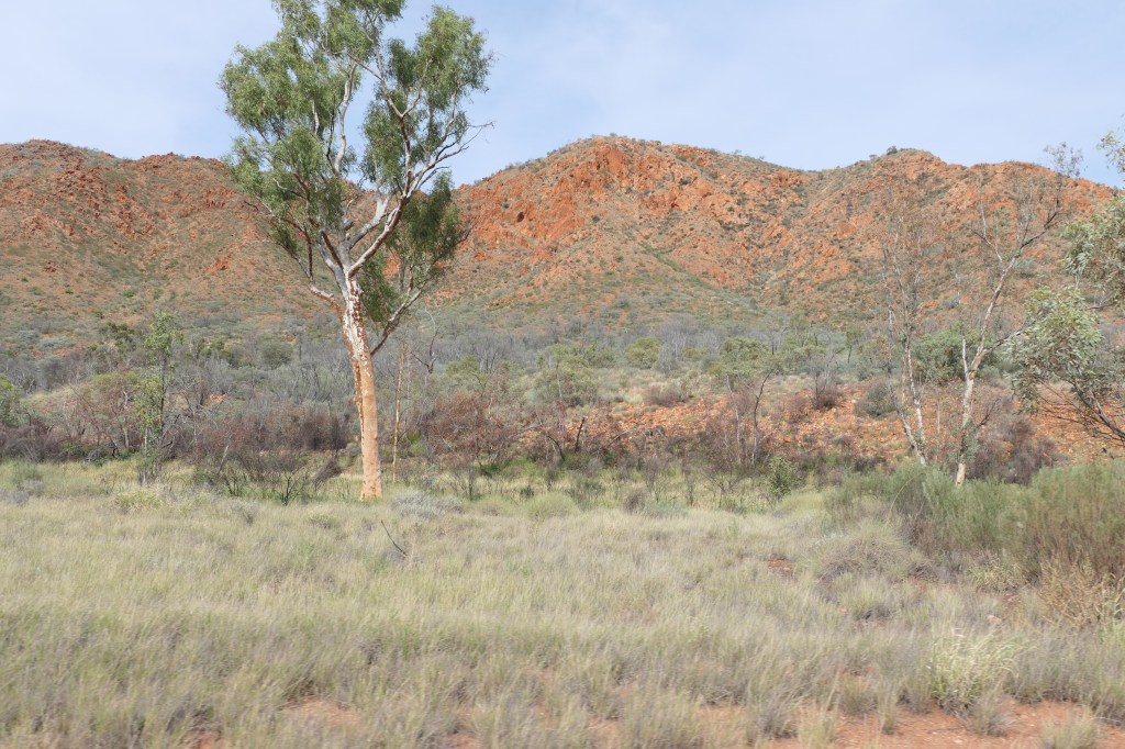
Part of the Chewings Range which is part of the West McDonalds.

sunsets are so beautiful

a few of the many hundreds

here comes the sun on the way to Drovers Hill

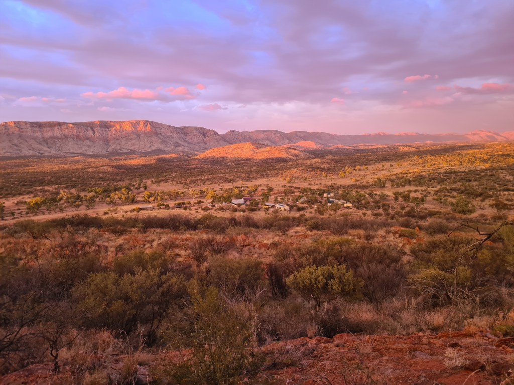
overlooking the camp from the top of Drovers Hill

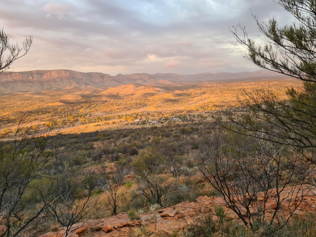
looking towards Alice Springs from the top of Drovers Hill

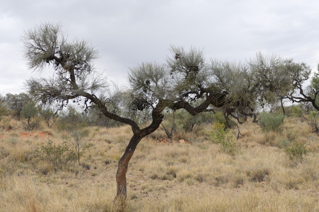
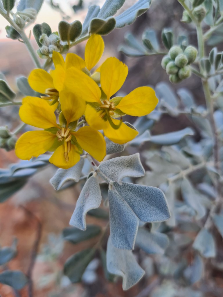
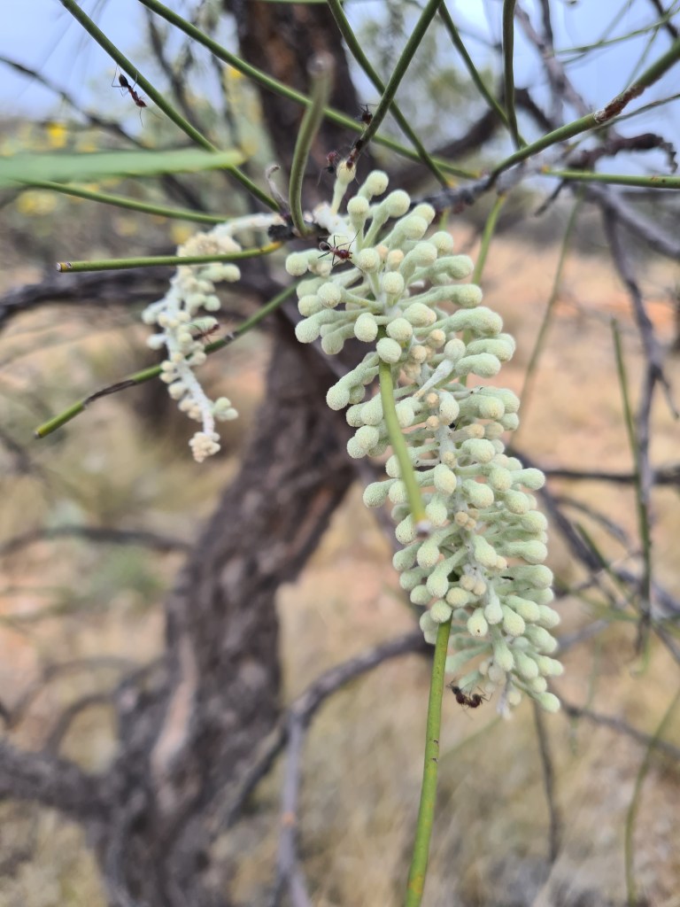
Desert Cassia or Silver Cassia

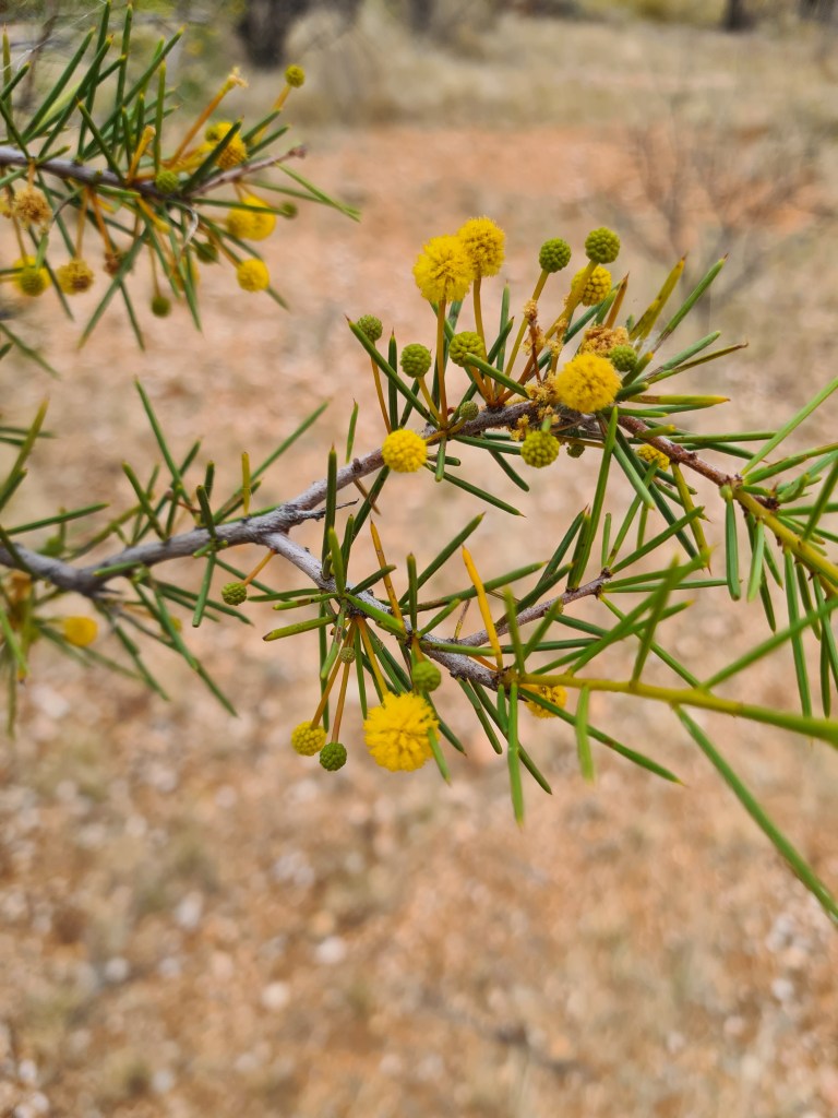
Colony wattle

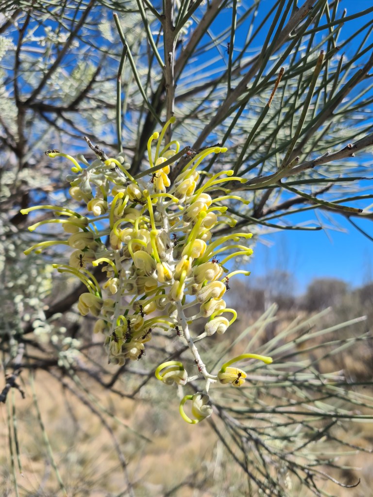
Grevillea robusta

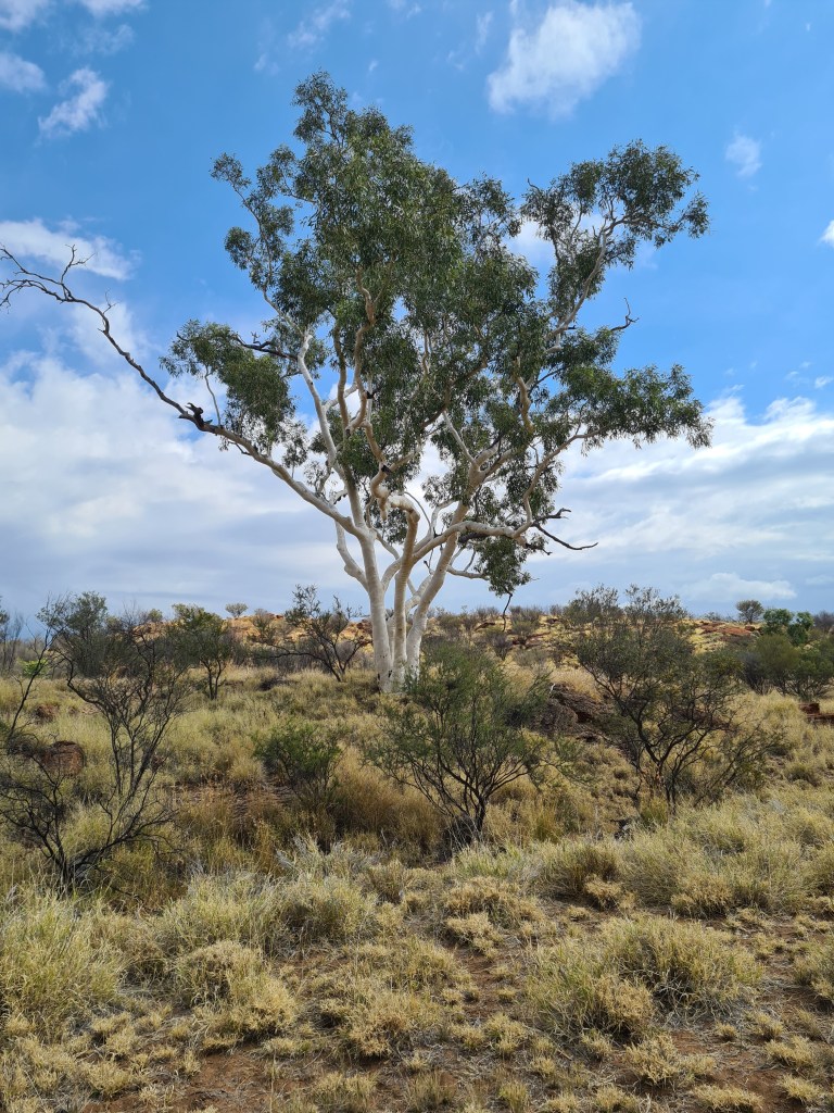
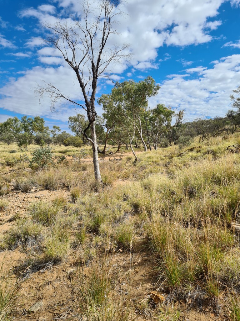
Quite a few white gums along the creek lines

Lotz of these fellows amongst the trees.

Hamilton Downs Youth Camp – (2)

May 5th 2023 – a full moon arising. It was a beautiful night, the cloud didn’t hang around for very long so the sky was lit up with moonlight & many stars.

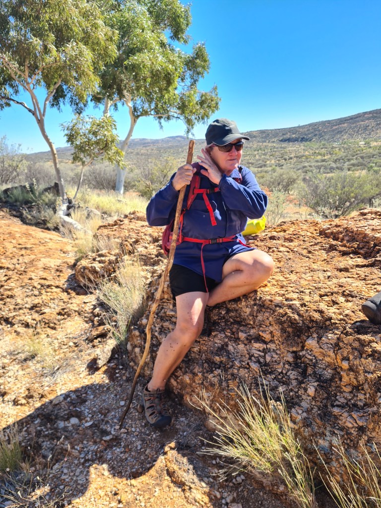
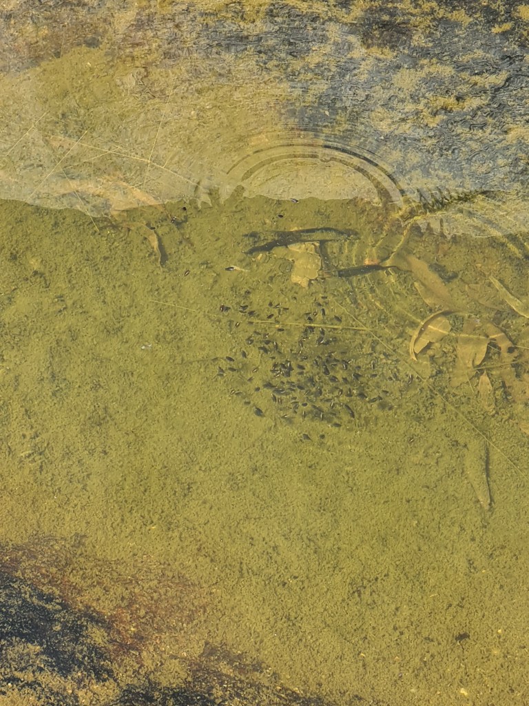
May 14th – We have now been here 2 weeks & have managed to do a few enjoyable walks, when we have clients depending on the group we usually only do a small walk ip Drover’s Hill, bit steep but not real long, when no clients we usually go for a few hours which we have managed to do the last few days. The flies are quite big in numbers but a small branch does the trick, there are quite a few cattle around so we have to expect to have flies. We have walked/staggered up some steep rocky hills so far without too many injuries so life is pretty good. We walked out along the creek yesterday & found a few small waterholes, not sure how long there will be water there for but one hole looked quite deep, I found quite a few fish, little fellows up to about 30cm long & heaps of tadpoles.

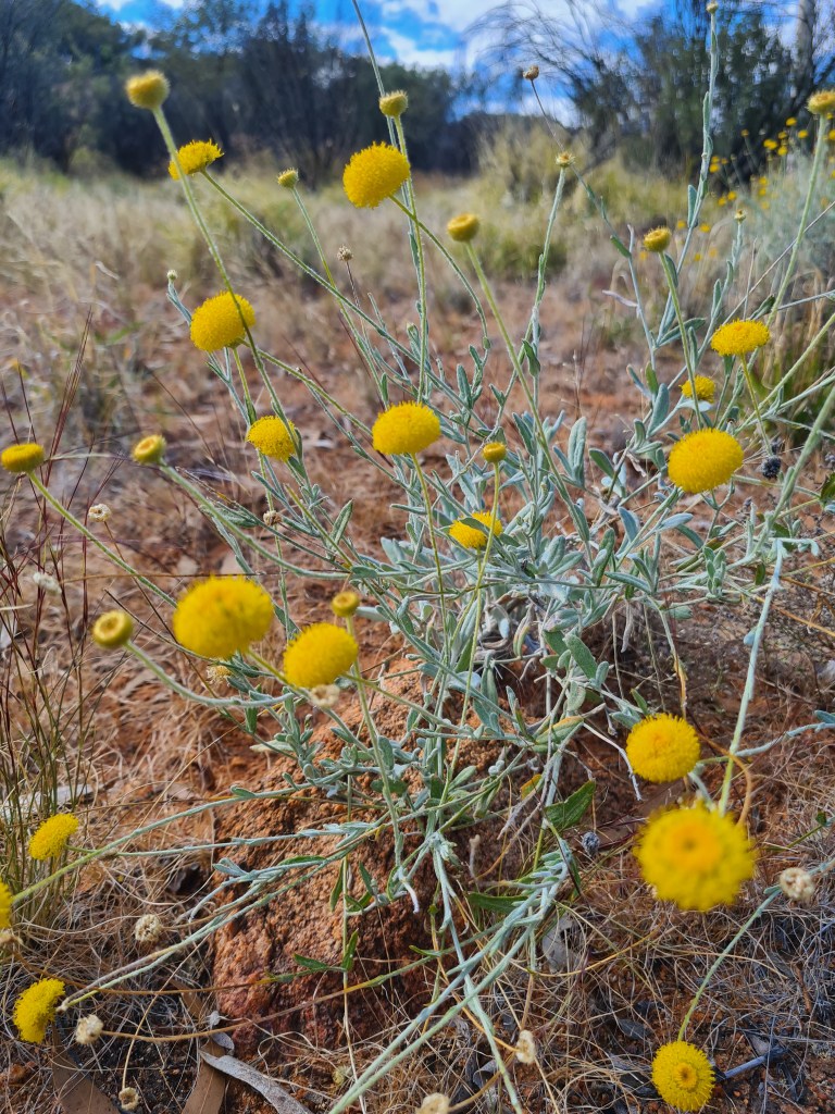
The wildflowers at the moment are beautiful, not sure if we will have much variety but the Yellow buttons & Califoria asters are divine.

WOW!

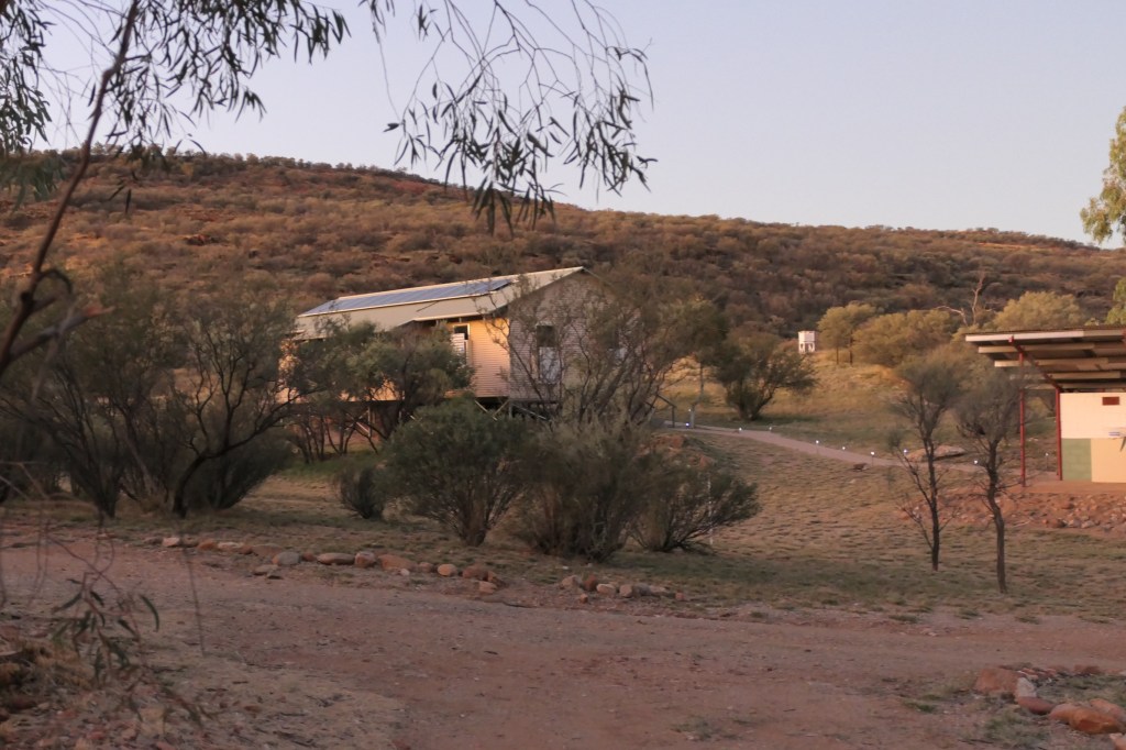
looking over to the top bunkhouse from the cottage(our place)

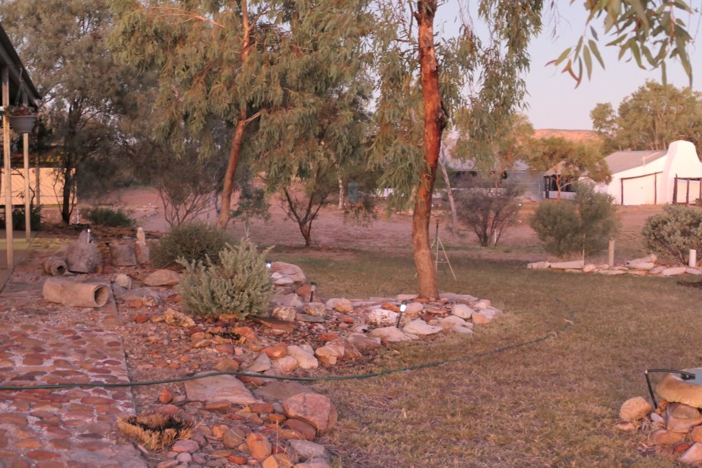
cottage front garden looking at lower bunkhouse (behind trees) & kitchen

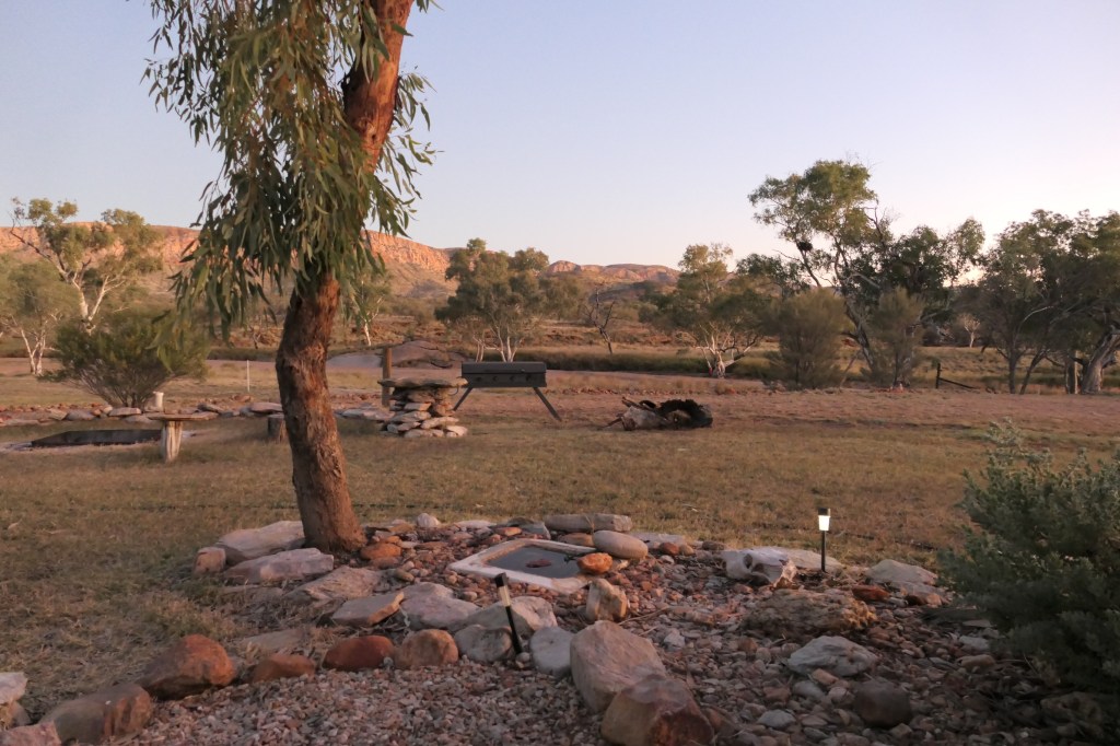
the view from front of cottage

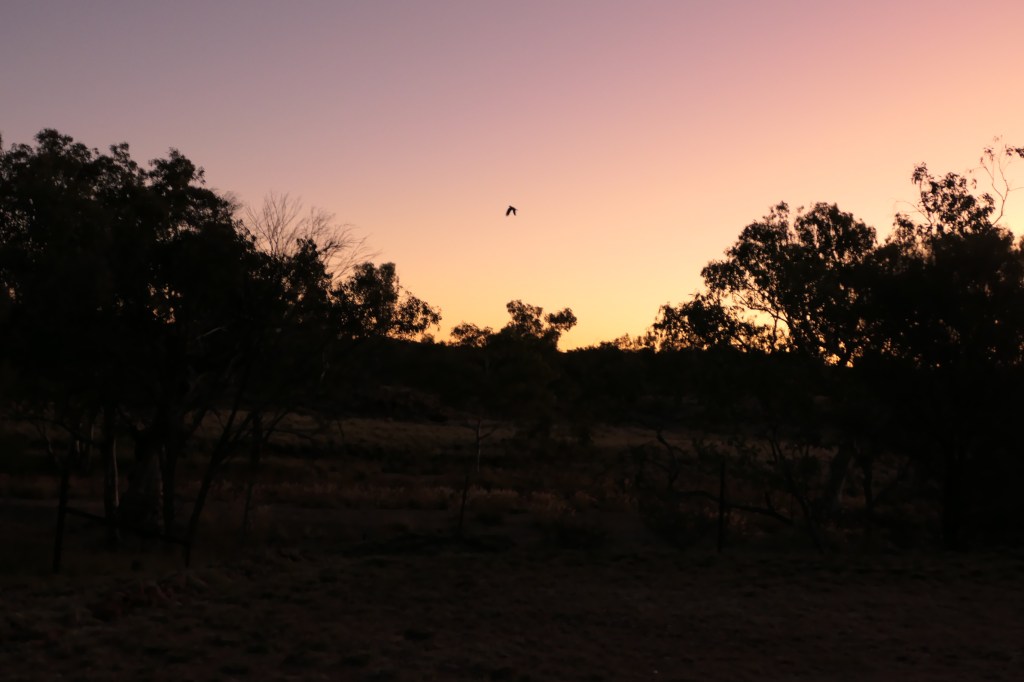
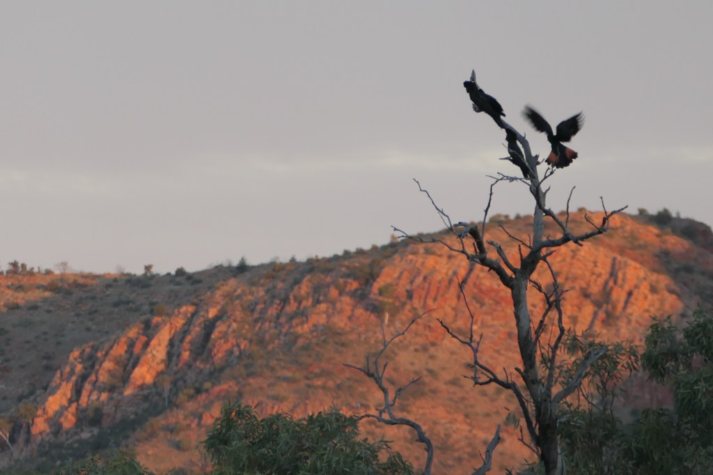
a black cocky in flight

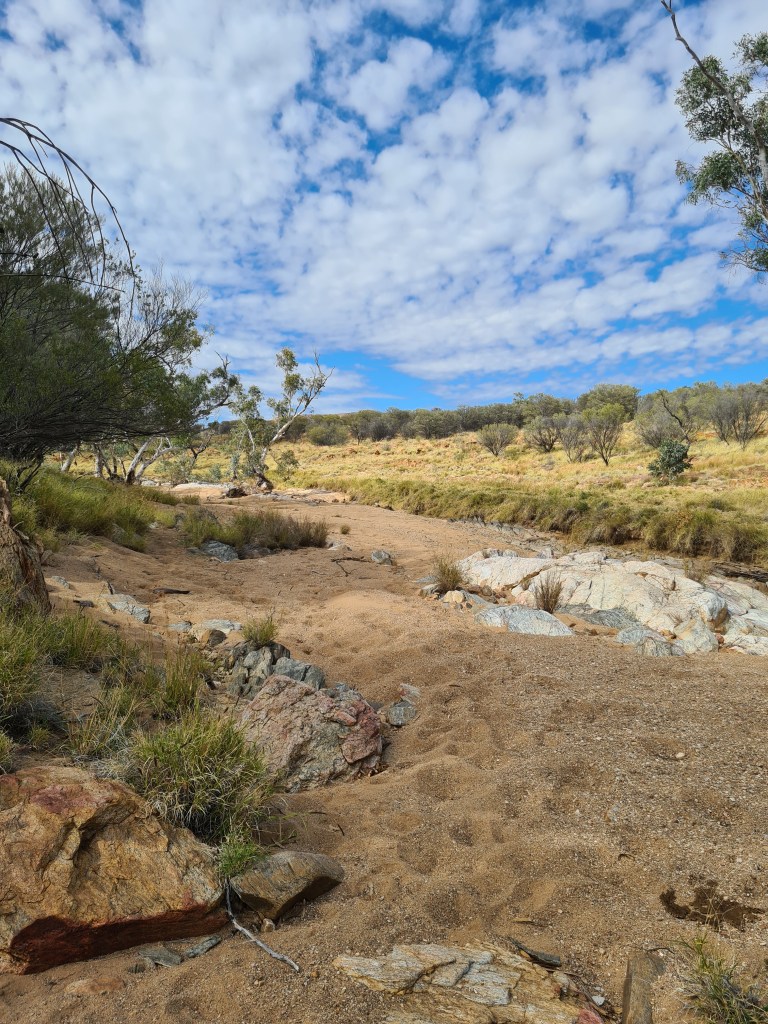
creek banks

they call this ‘sliding rock’

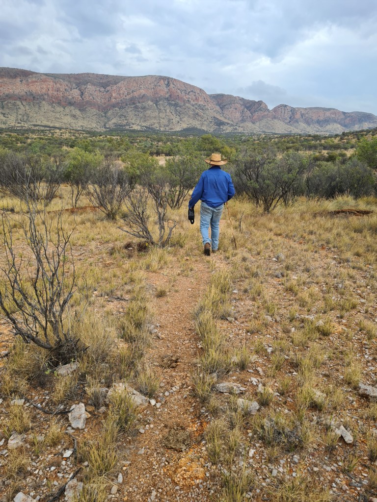
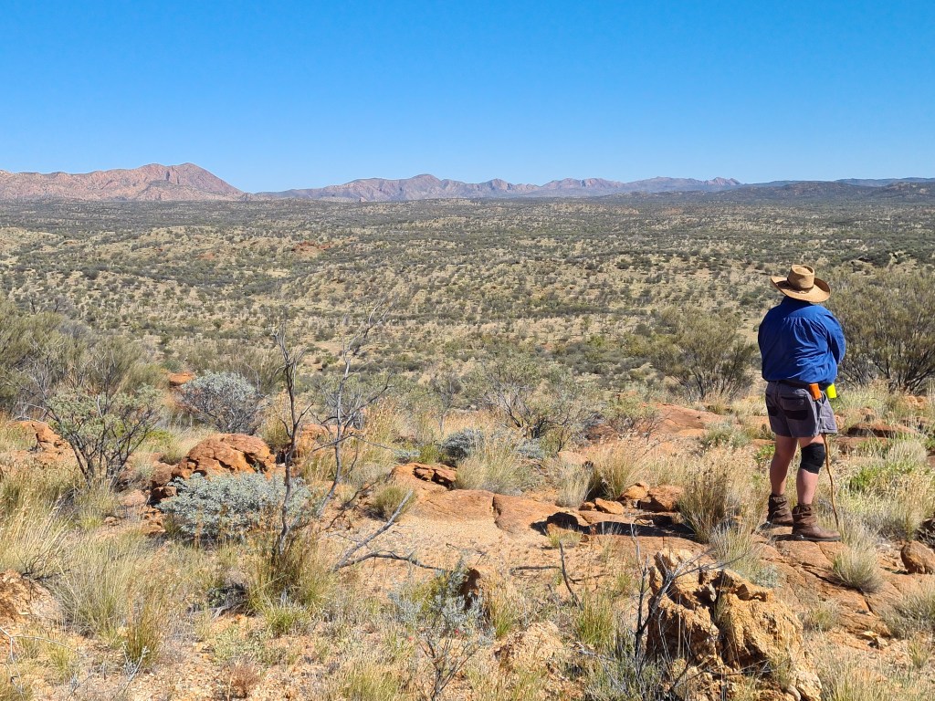
on one of our walks

i need a new fly swatter

its WOW! country

so much country……..

another day, another walk. My fly swatter – works a treat

a few small waterholes still around

the white blobs are actually small fish – lotz of them

tadpoles

no water up this end of the creek but lotz of cattle feed

lotz of bouquets of Yellow Buttons on our walk

quite high up

California aster – they are so petite & beautiful

Hamilton Downs Youth Camp – (1)

28th April 2023 & onwards……

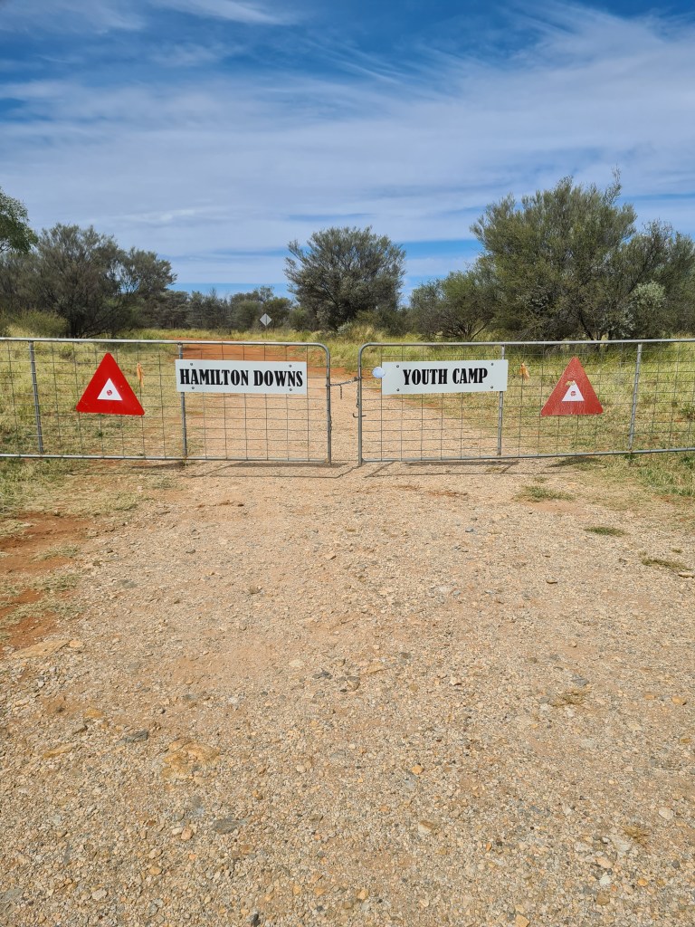
Approximately one & a half hours NW of Alice Springs off the Tanami Hwy is Hamilton Downs Youth Camp, it was originally part of Hamilton Downs Station & was developed by the Apex Club of Central Australia and was officially opened in 1978, the camp offers good clean & tidy camping facilities, bunkhouse accommodation, amenities block & a commercial kitchen. The homestead is comprised of five heritage listed & restored buildings constructed between 1910 & 1923.

This is our new home for the next 3 months, we are the new caretakers.

It is a really beautiful part of the world.

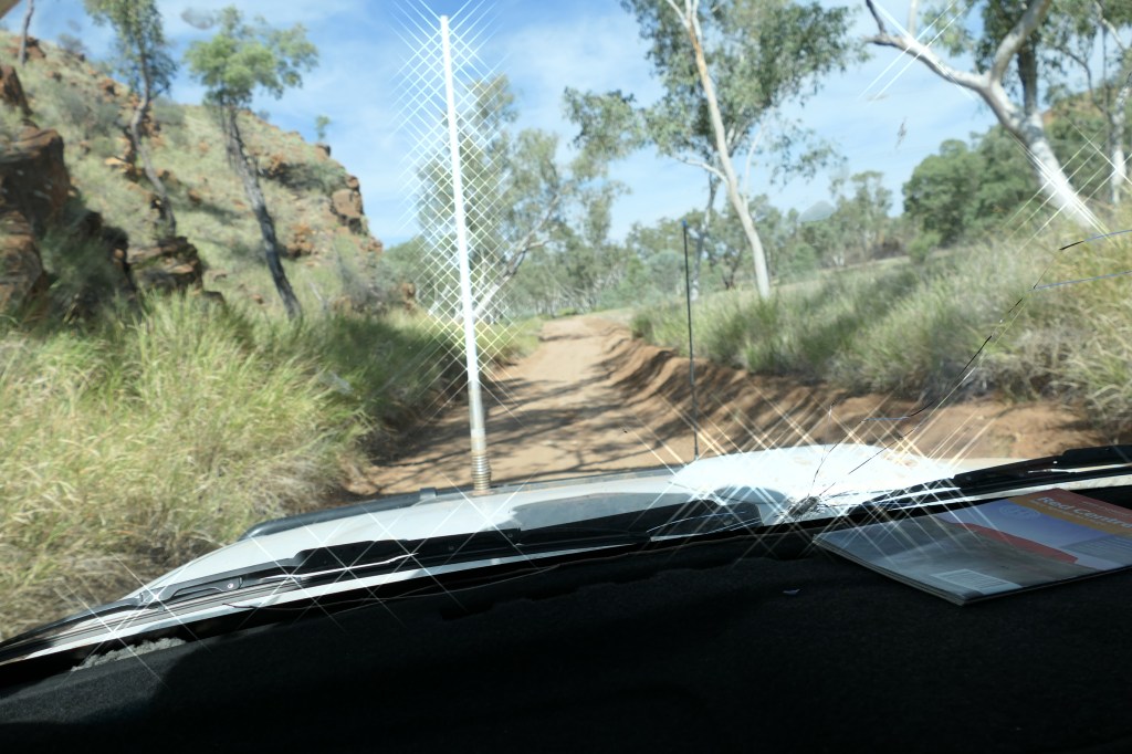
our driveway is approximately 60klms

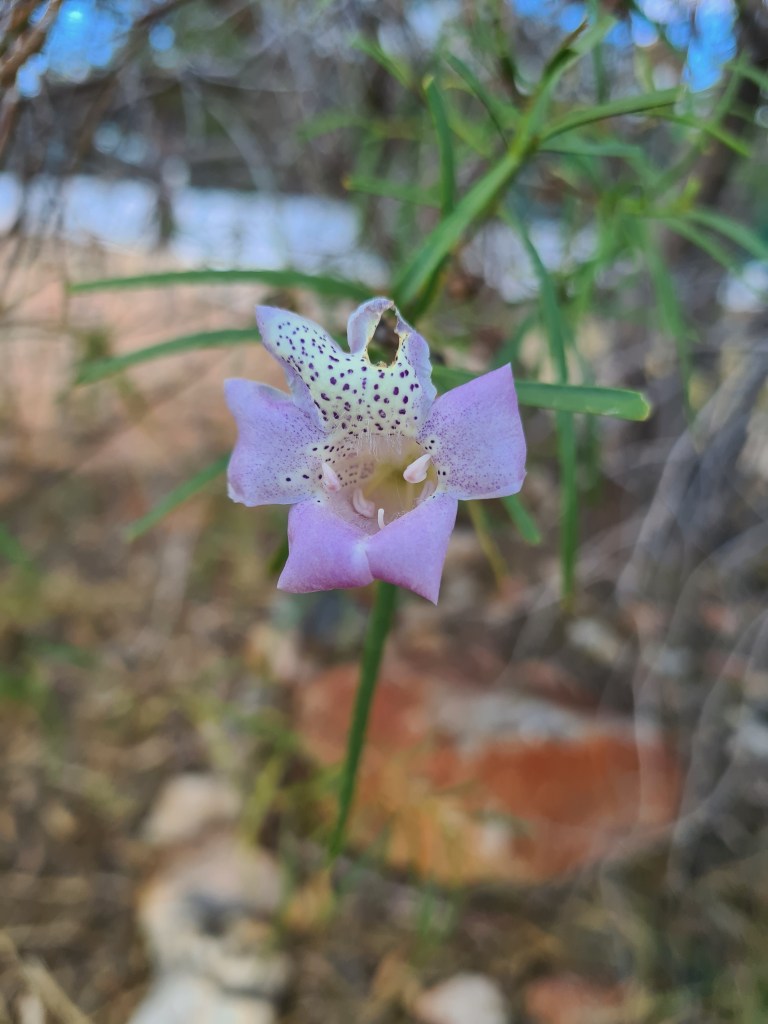
Wild petunia

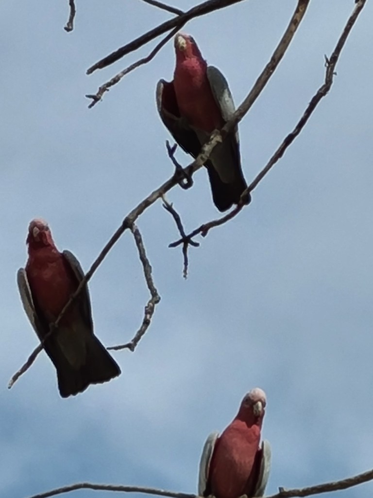
Galah’s galore

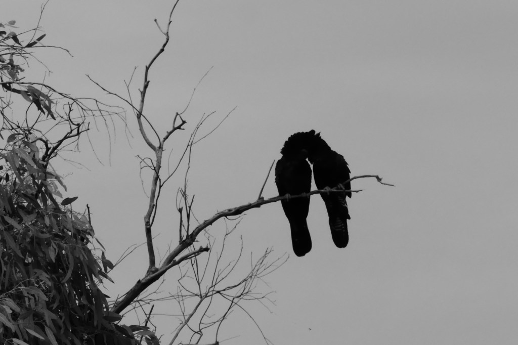
these 2 lovebirds have been meeting every afternoon, same tree…..

so much beauty

overlooking the camp from Drovers Hill

Yellow Buttons

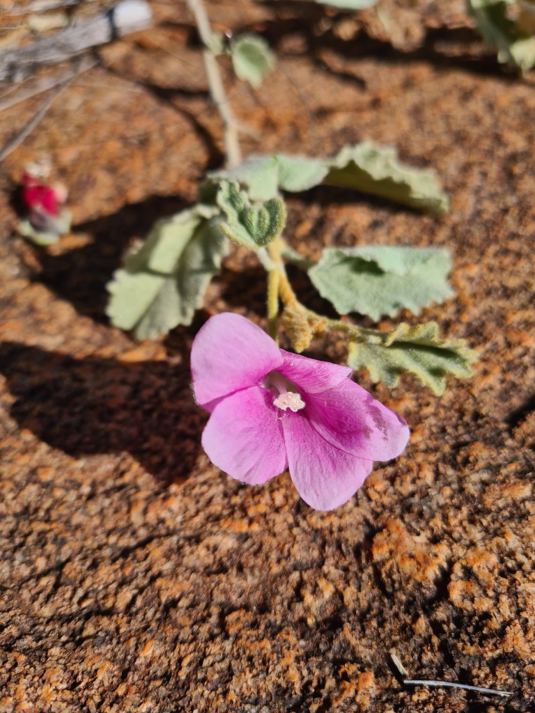
Tree Mallow

Binns Track

25th/26th April

After leaving Tobermory Station we headed west along the Plenty Highway, it had dried out considerably since we were here 5 days ago. We camped up at an overnight stop opposite Jervious Station, a great little spot with a shade cover, 2 bbqs & rubbish bins – the site is maintained by the station & they do a great job.

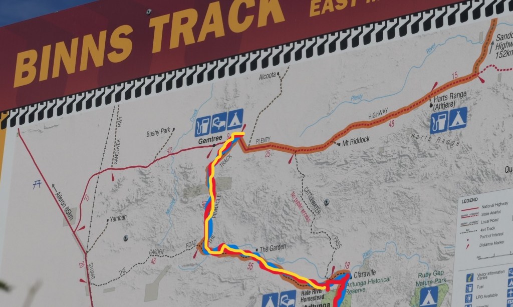
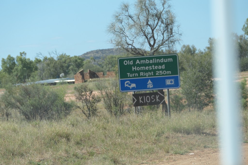
We left the Plenty Hwy on the eastern side of Gemtree 69klms west of the Stuart Hwy, a small caravan park/roadhouse with camping & fossicking available, approximately 10klms after Gemtree we drove south down the Binns Track – a very enjoyable track in good condition, through station property & indigenous land & several gates. We arrived at ‘Old Ambalindum’ homestead, which is now part on Hale River Station, they have powered & unpowered sites and lotz of interesting characters in & around their gardens/yard – we camped up here for the night. The old homestead is well maintained & a great draw card for the tourist buses.

From here we continued on the Binns track & eventually arrived at the Ross River Retreat, 83klms from Alice Springs, we followed the Ross river on a delightful drive til we met the Ross Hwy then into Alice Springs.

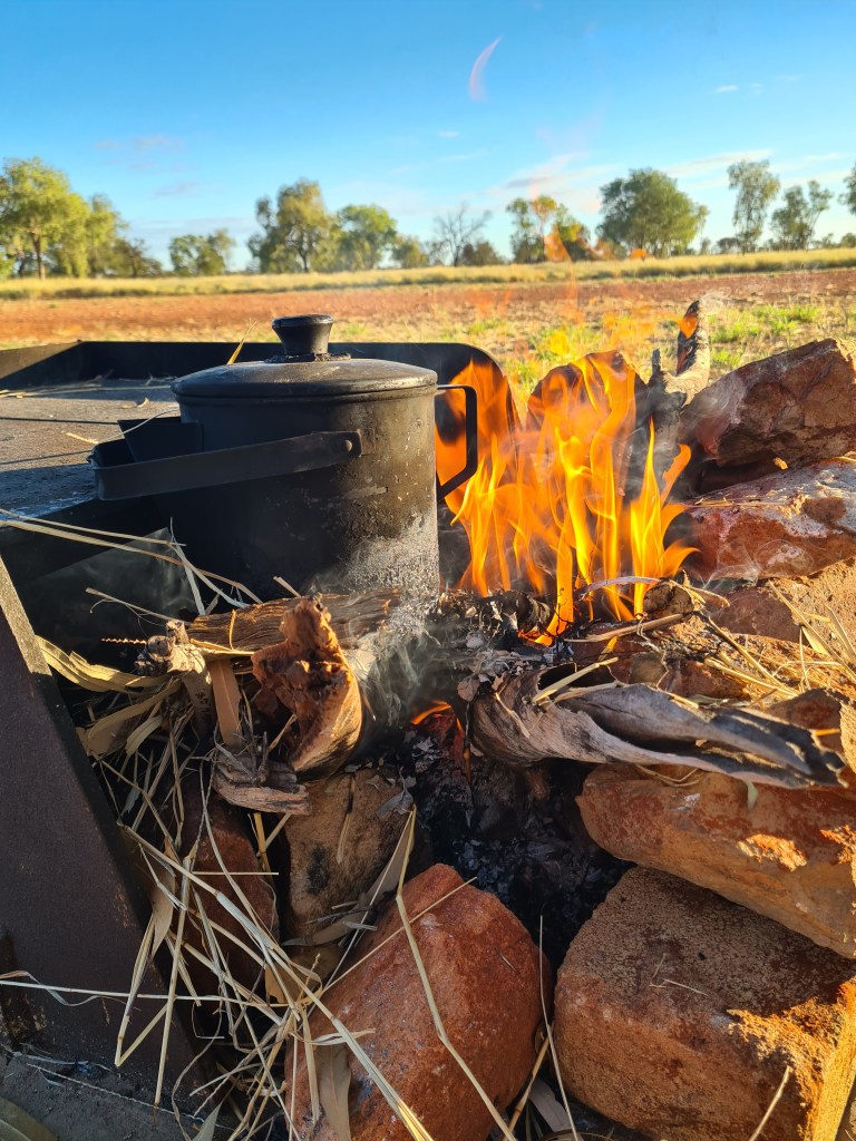
o/night stop, opposite Jervious Station we had a great fire at the bbq where we cooked our yummy dinner

we followed the yellow track from the Plenty Hwy to the Hale River Homestead

not working but still cute

great track conditions

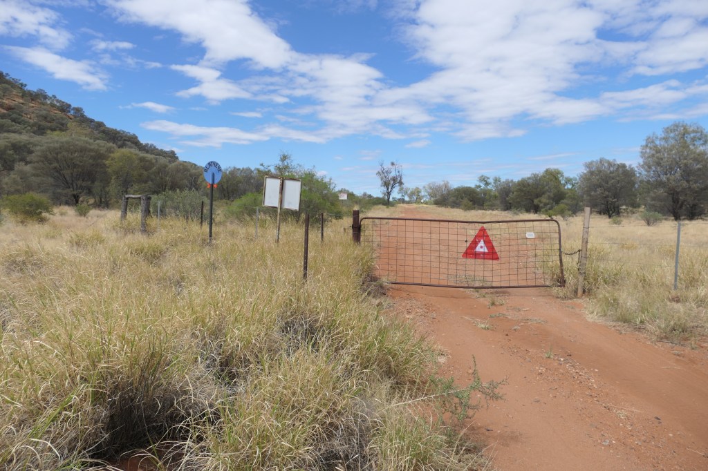
one of the few gates we had to open

plenty of feed for cattle

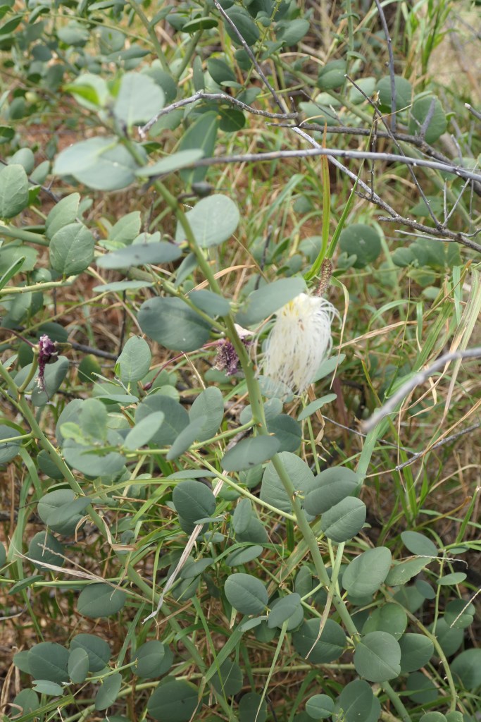
Caper bush
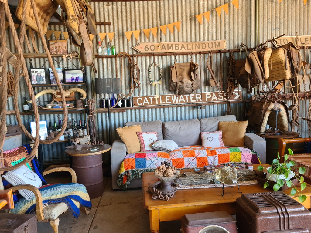
lotz of memorability in the shed office

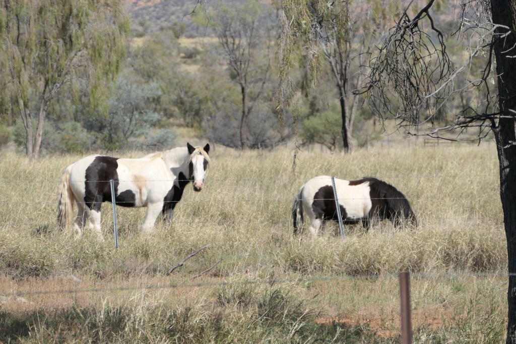
Some cuties in the paddock

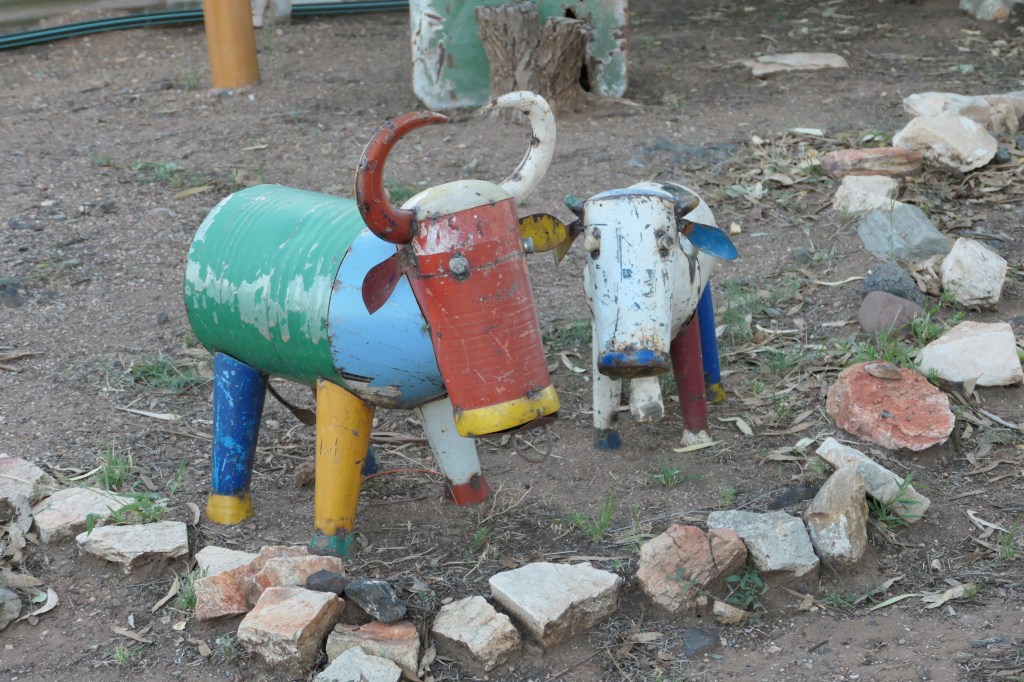
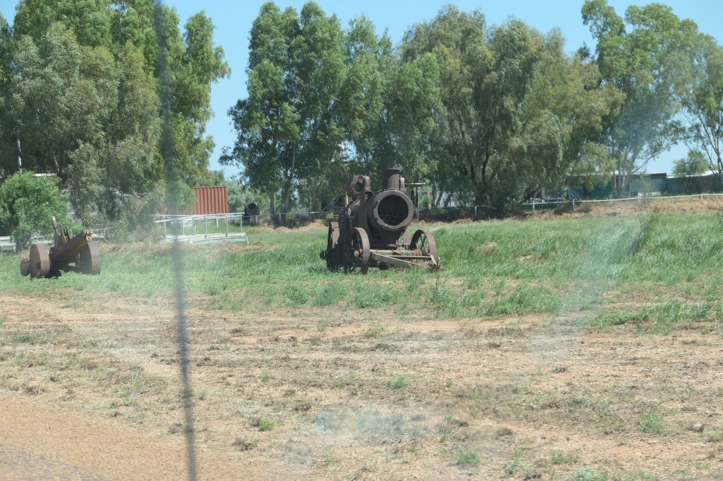
Lotz of quirky decorative statues/sculptures around the buildings

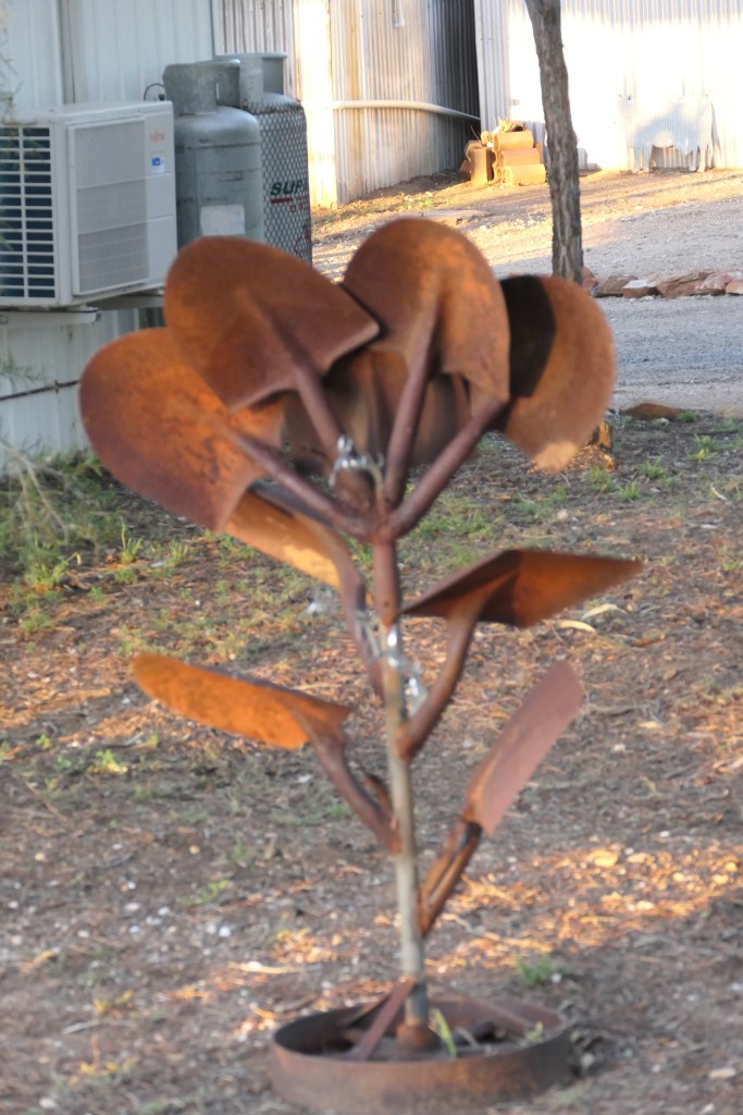
shovel plant

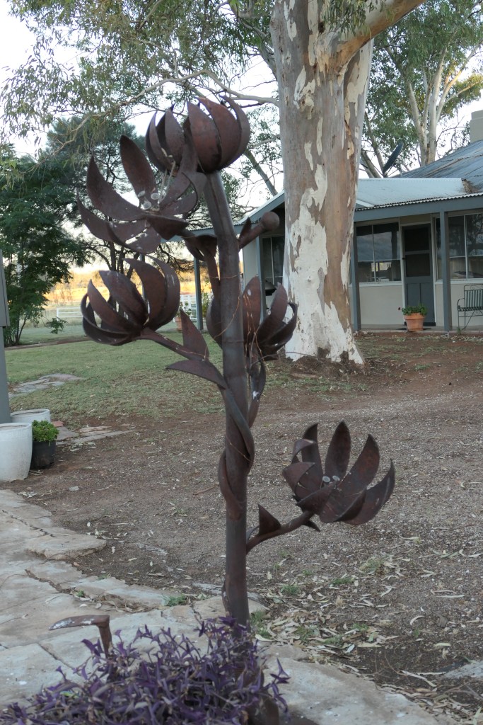
a blooming metal tree

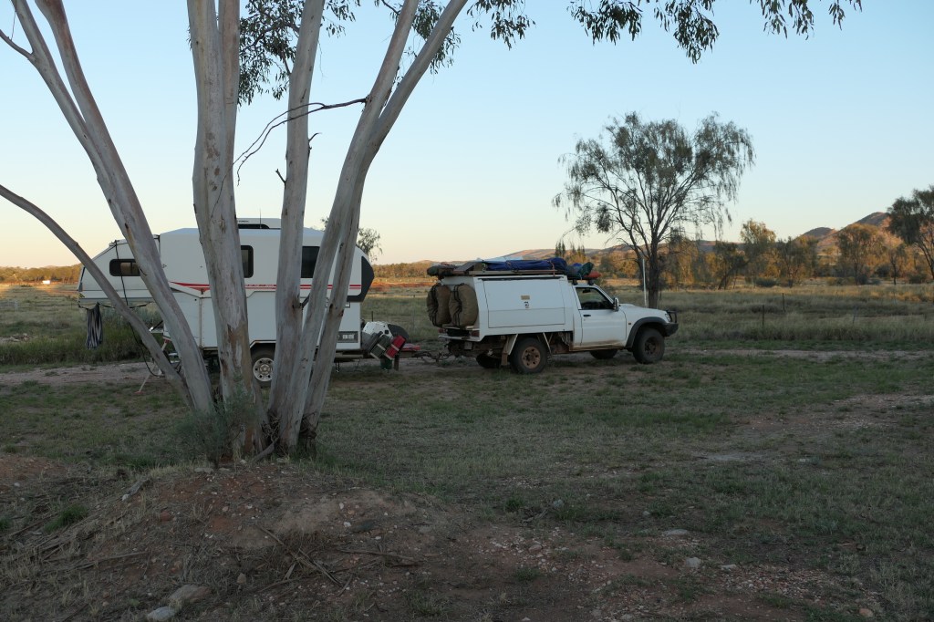
our camp site

Hale River homestead to Alice via Ross river – blue line

Ross River

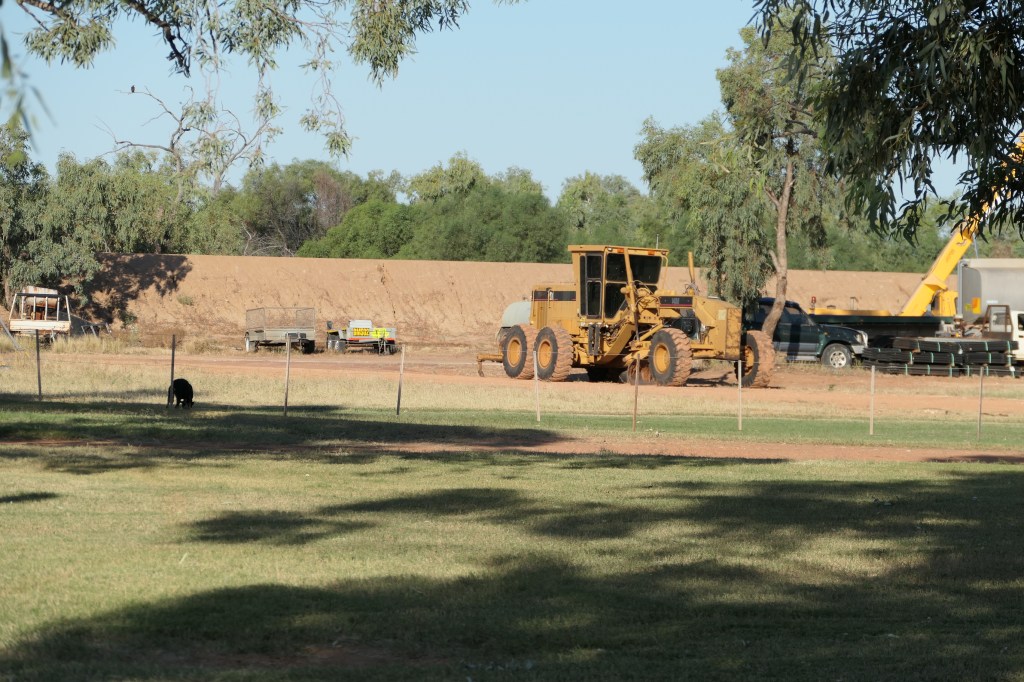
we actually followed the grader – track very good

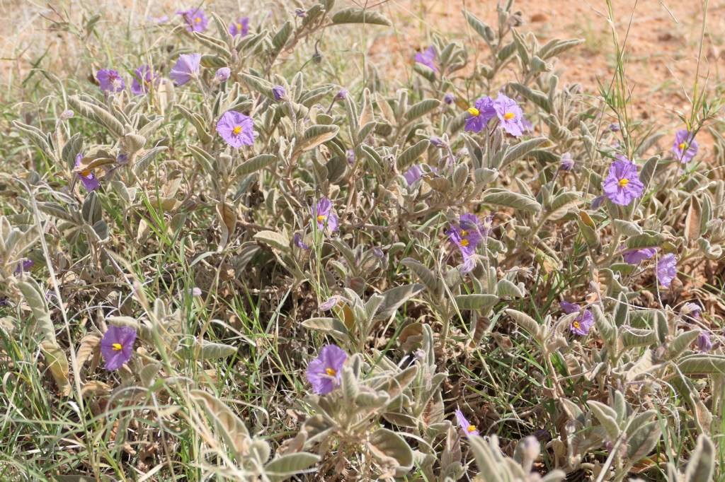
Silverleaf nightshade

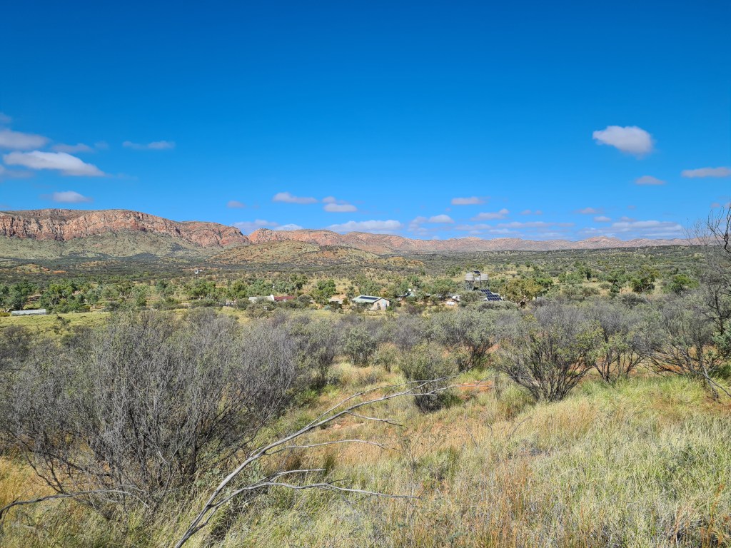
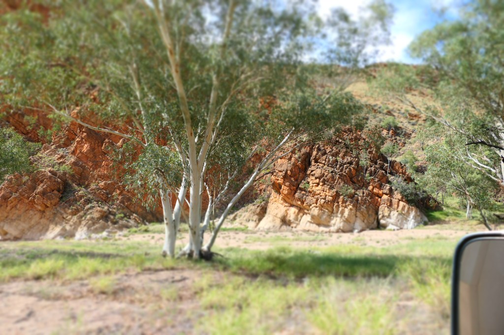
beautiful countryside with the East MacDonalds in the background.
QLD to NT

23rd April, 2023.

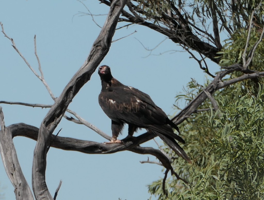
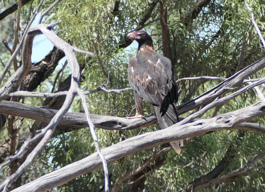
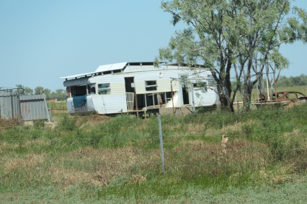
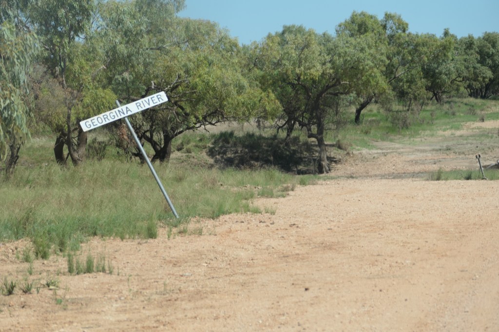
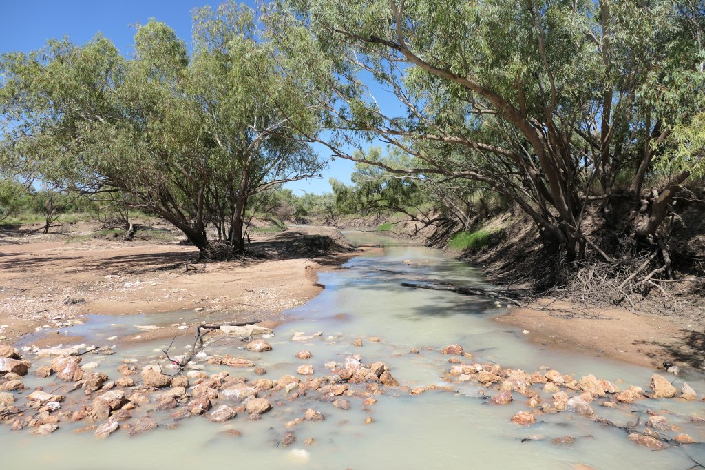
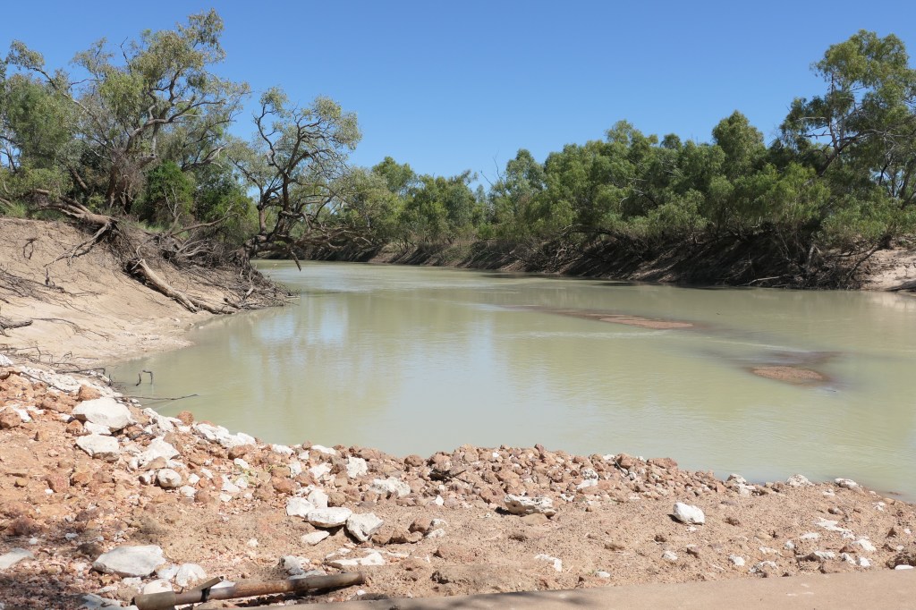
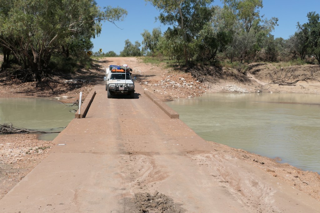
Leaving Mt.Isa we travelled south on the Boulia-Mt.Isa Highway, we turned (R) onto the Urandangi North Rd (this road was closed up until yesterday & open only to high clearance 4WD), it’s just under 100klms to Urandangi. We saw quite a large Wedgetail Eagle lurking in the nearby trees eying off the road kill. The road was really quite good, coming into Urandangi it was very obvious of where the Georgina River had visited & the damage it caused. The town which consisted of a pub/shop – the only real building in town was quite deserted still, apparently the river was about 30cms throughout the building, there was a few out buildings & caravans around the place but no human presence was seen when we drove through.
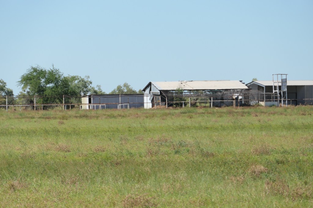
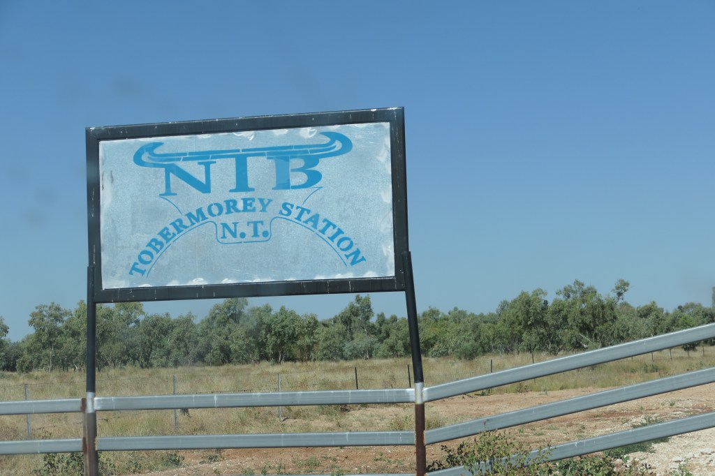
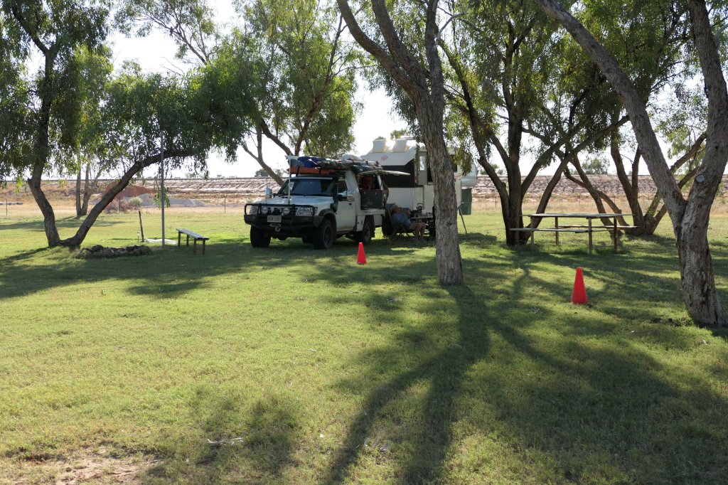
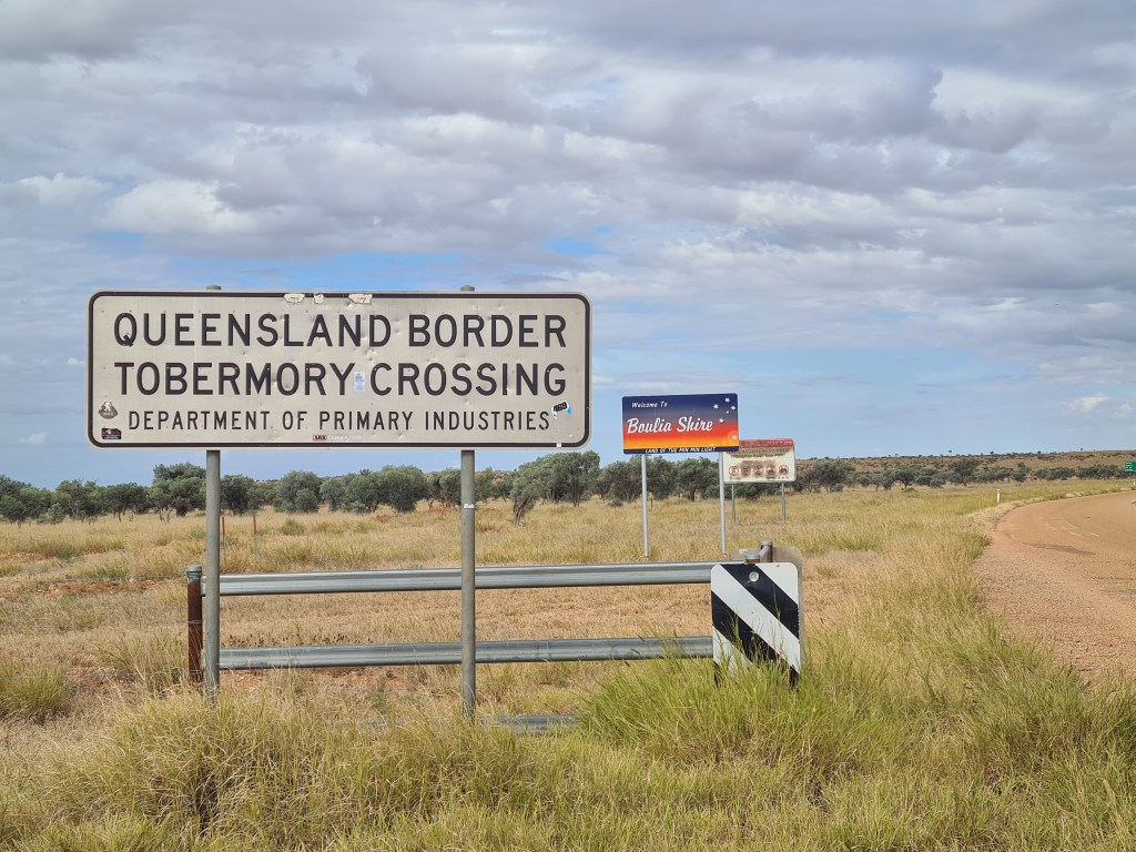
After driving 103klms we were back in the Northern Territory, we camped up at Tobermory Station which is a working station with an amazing campground, they have built a rather large levy bank around the homestead, camp ground & work sheds hoping to prevent any water damage from flooding – apparently a few years back they suffered from massive flood damage, after the enormous rains early this year they are currently contemplating increasing the size of the levy banks. Tobermory Station is a great camp spot & an ideal overnight stop for traveler’s going east or west.

This fellow on the Boulia Mt.Isa Hwy just before we turned onto Urandangi Nth Rd.

This track still not open.

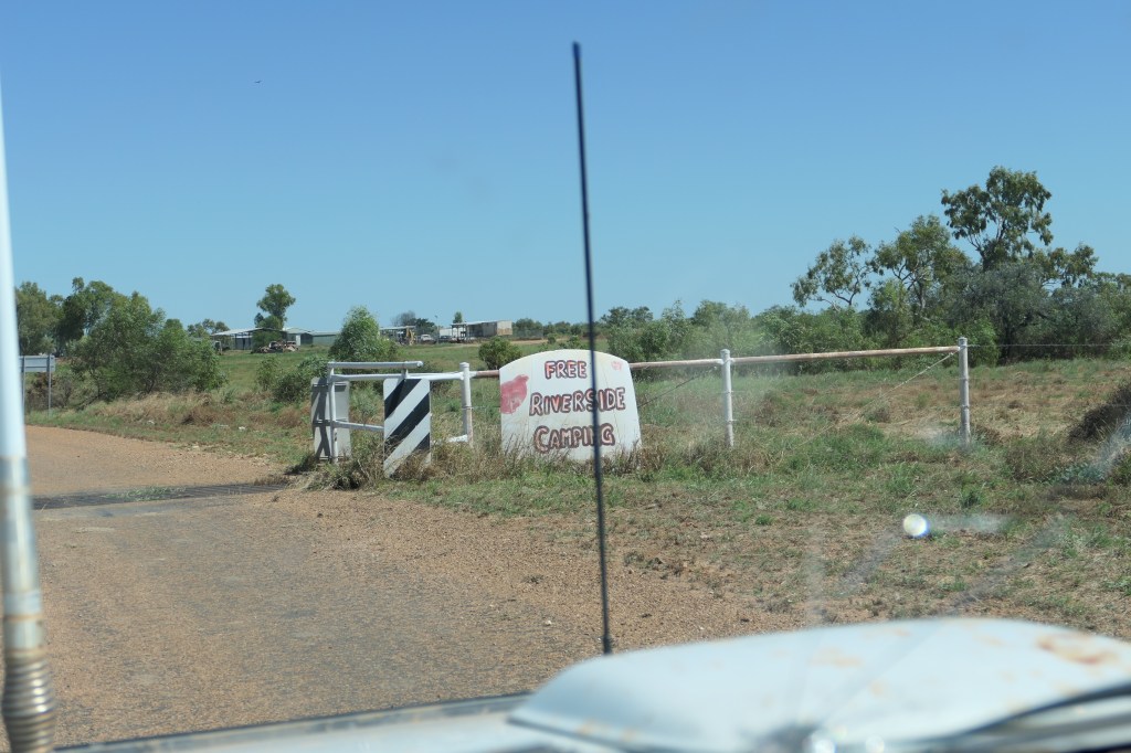
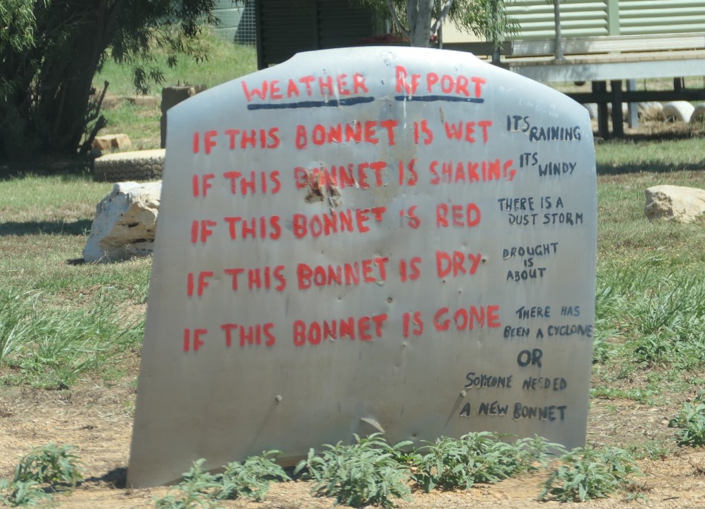
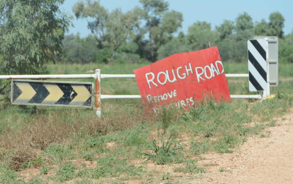
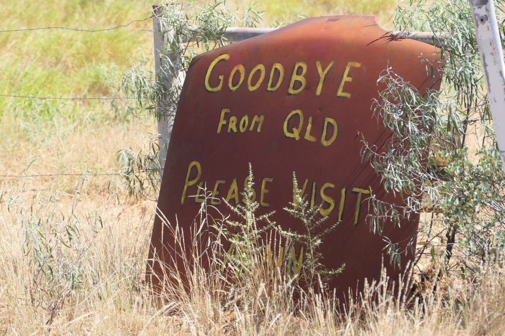
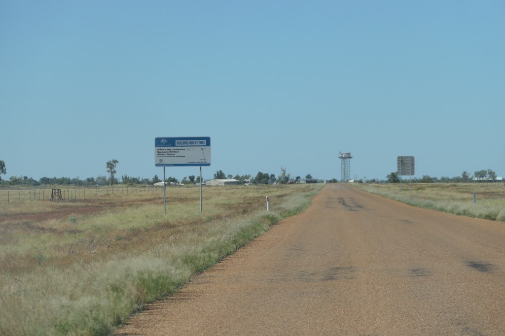
there were quirky signs along the way

no one home

1st crossing of the Georgina river

Main Georgina river crossing

jabiru

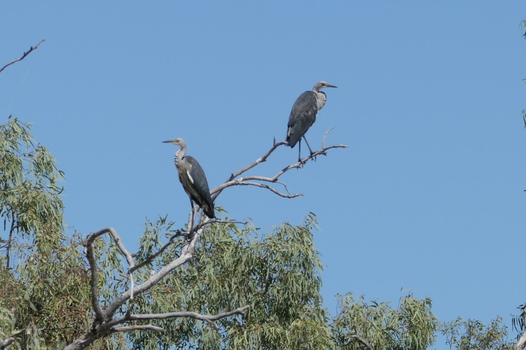
grey herons

see ya QLD

Back in the NT

big boy!

our camp for the night at Tobermory Station

camp kitchen

the levy bank is all around the homestead & buildings

Relaxing with his friends

lotz of friends

more friends

lotz of these fellows everywhere

dinner time

a beautiful night

Mary Kathleen Mine & Lake Moondarra – QLD

22nd April, 2023.

Spending a few days camped up in Mt.Isa, .

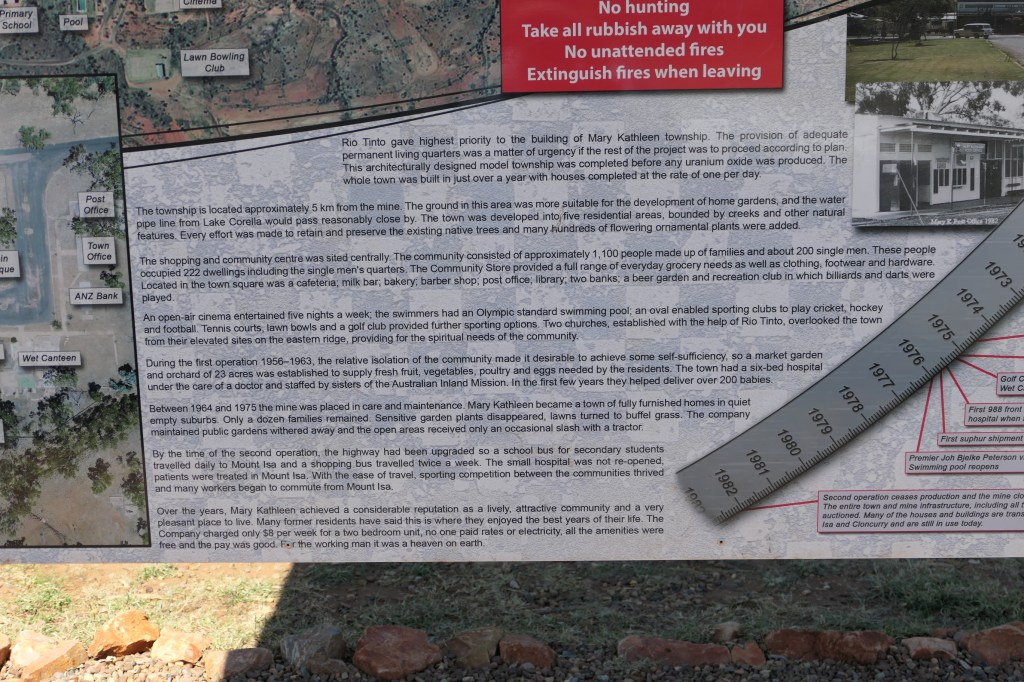
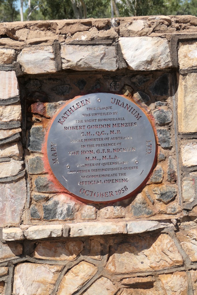
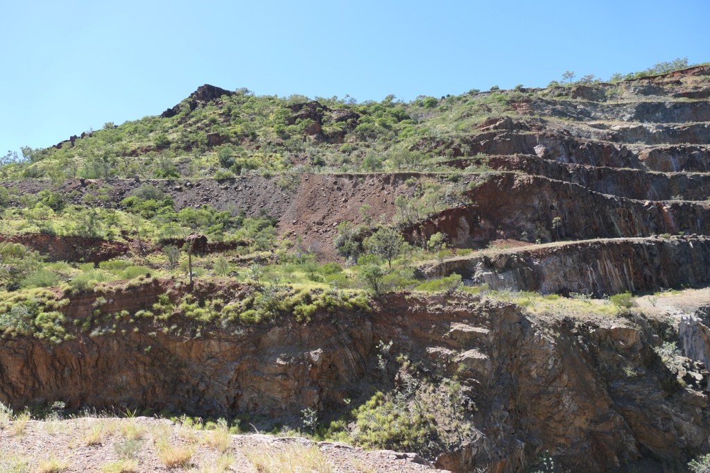
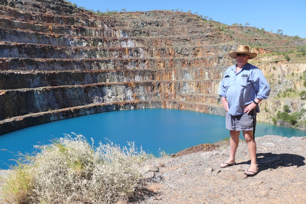
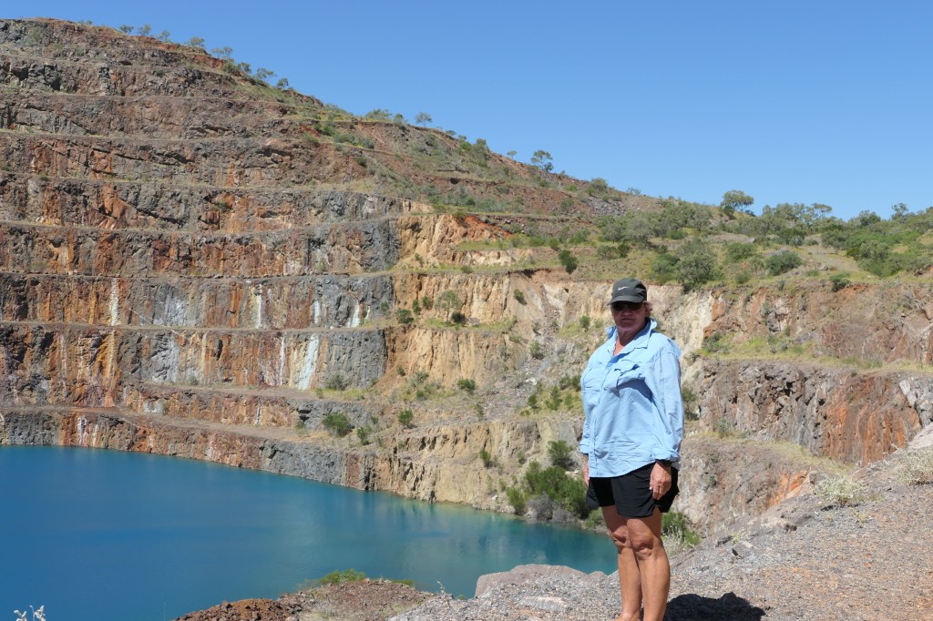
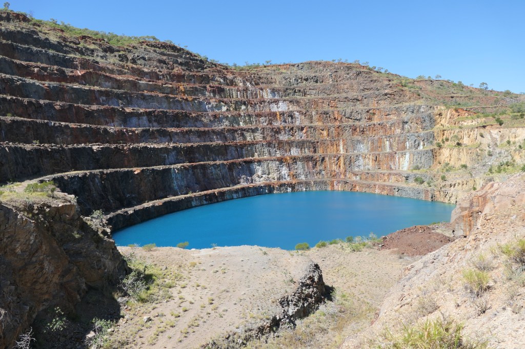
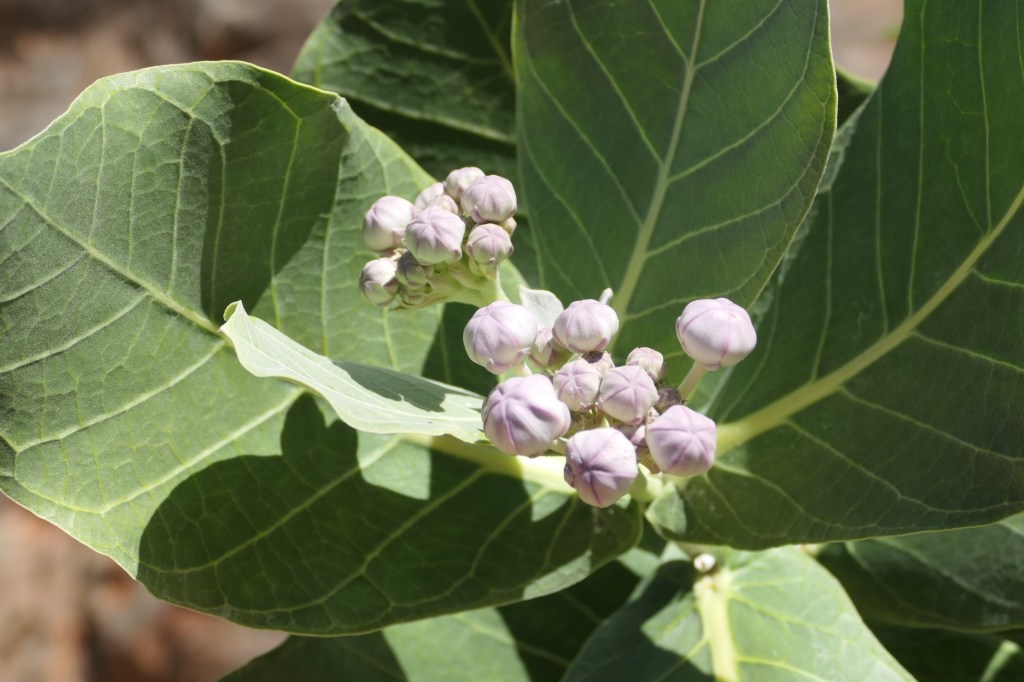
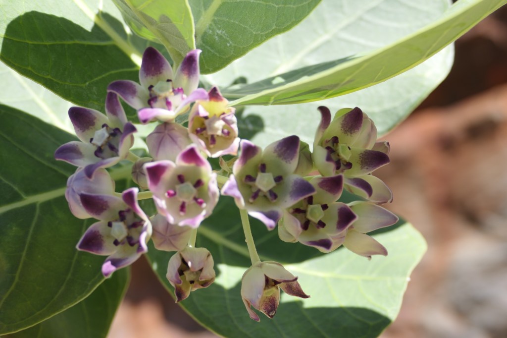
Mary Kathleen Mine – wow, a pretty amazing place, definately worthwhile visiting, even camping(free)would be very nice. There is so much recent history here. Lots of Giant milkweed flowering – such a pest. The colour of the water in the pit is a beautiful blue but there is no birdlife or signs of any animals going near the water – they know!

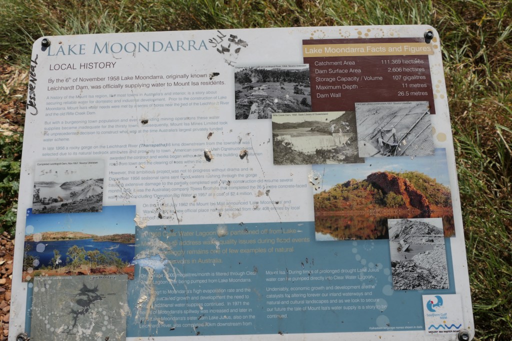
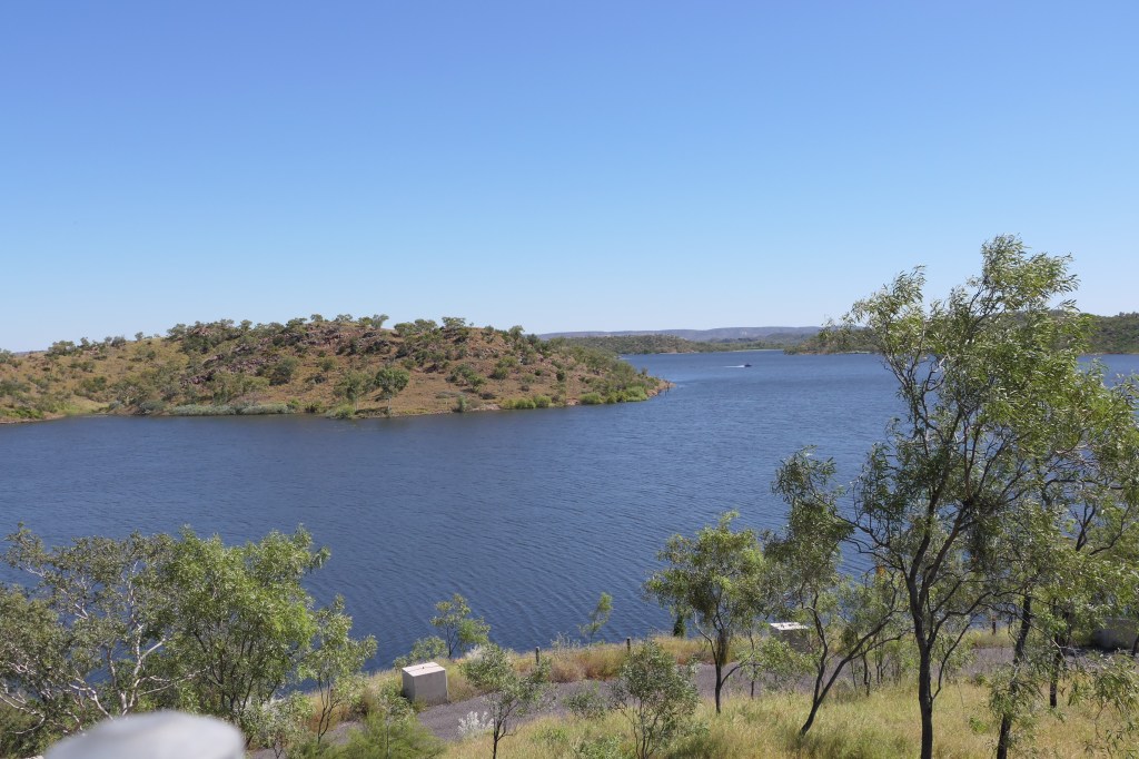
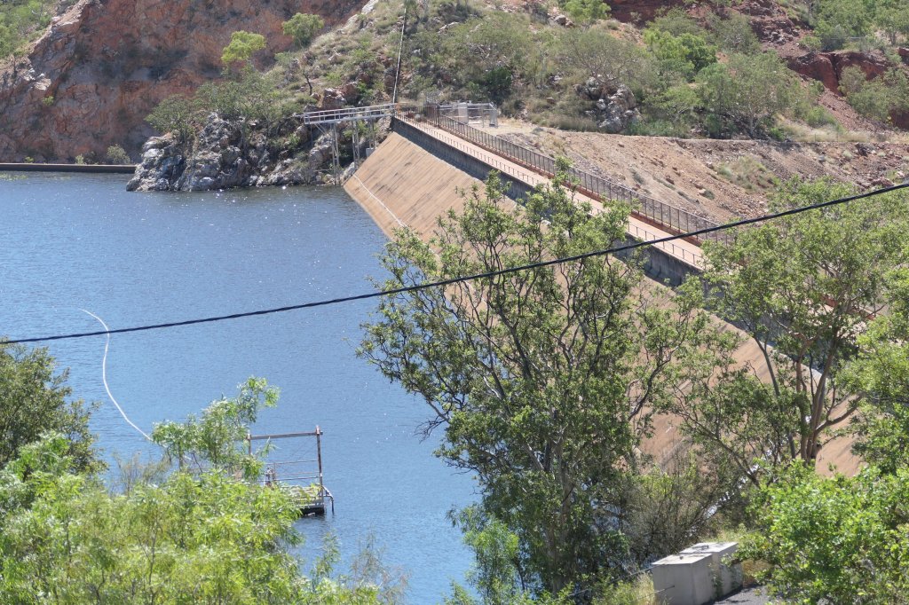
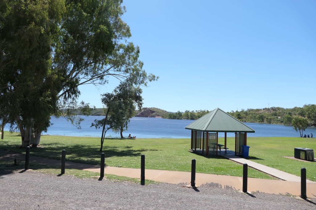
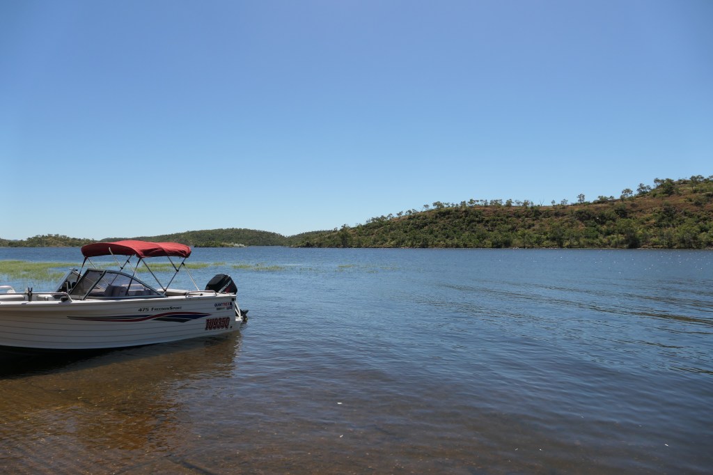
We drove out to Lake Moondarra – a beautiful lake but only for day use, heaps of boaties use this dam for fishing(baramundi are plentiful apparently), water skiing, general boating & swimming. The picnic area’s are well utilised & are really good, there are a few. No camping, caravan parks etc. Another place to definately visit & enjoy a relaxing, quiet time.

the track to the pit, countryside is quite green from recent rains

Apple of Sodom (Giant Milkweed)

a beautiful lake

picnic & day use area

A Kite sitting high in the rocks

a lot of boaties

Cobar Peddy.SA :Plenty Hwy.NT :Mt Isa. QLD

April 14 – April 22, 2023.

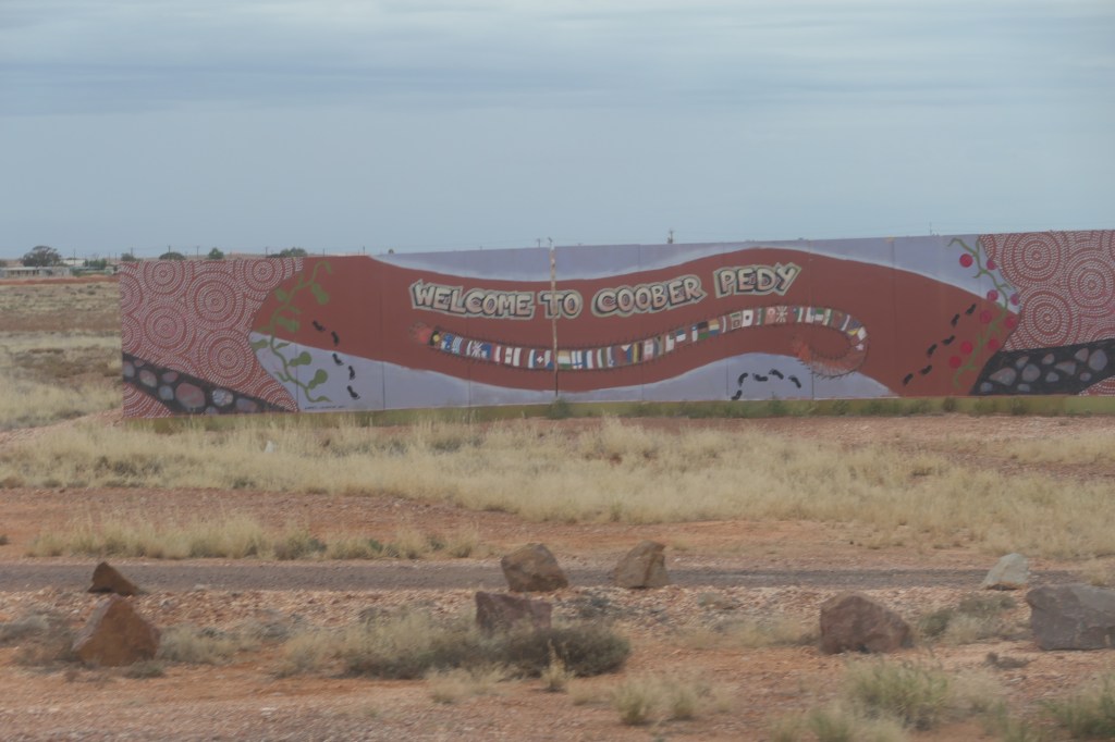
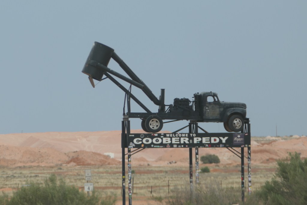
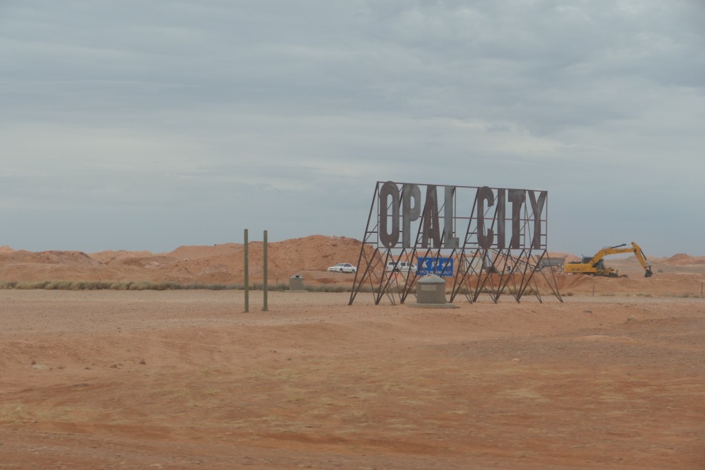
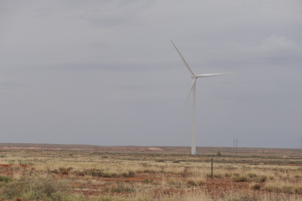
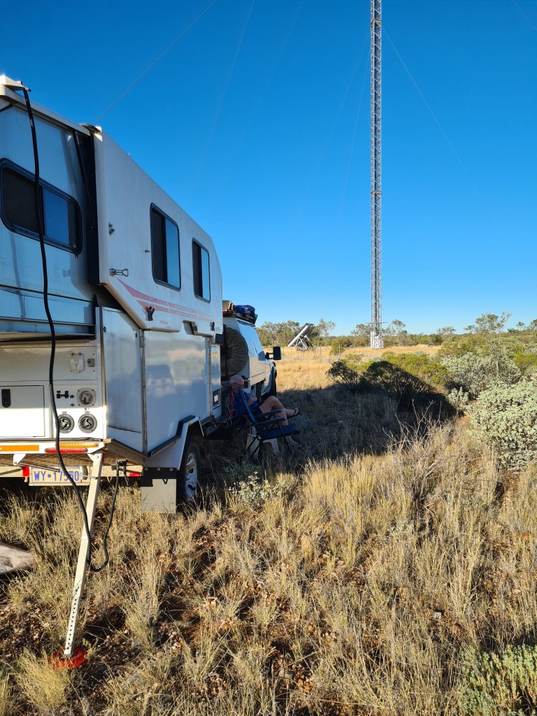
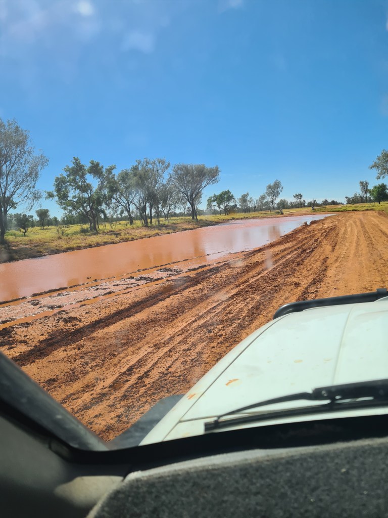
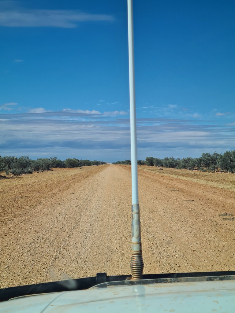
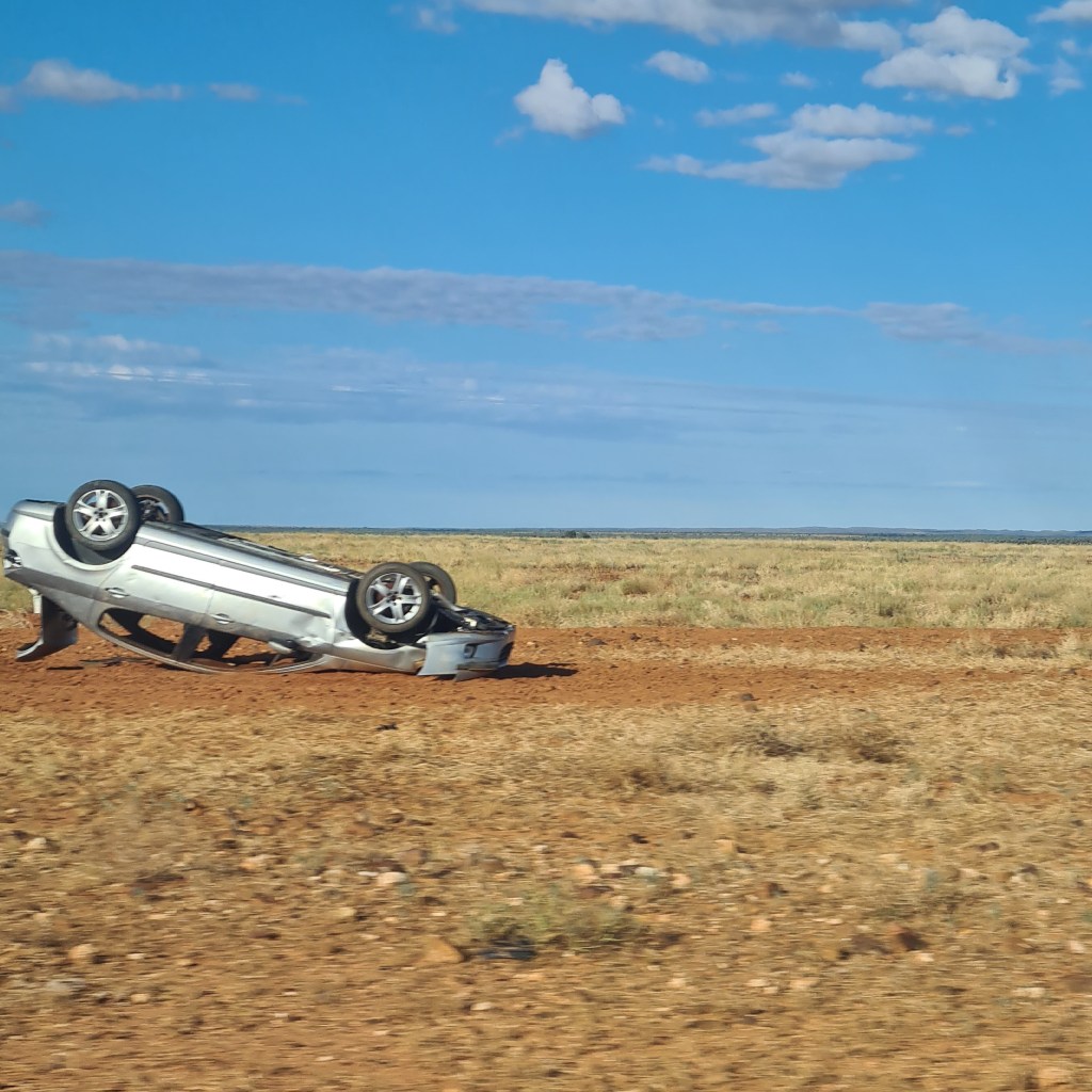
Quick stop at Cobar Peddy for fuel then up the Stuart Hwy to Alice Springs. Lotz of rain along the way & in Alice, we camped up for few days & since none of the roads were opening going south (Oodanatta track) we changed our plans, the Plenty Hwy was supposed to be open so Mt.Isa here we come. The road was resonably good in places & a bit damp in other places, had a few wet crossings but nothing too serious. We camped up near a telstra tower behind some trees – Into QLD, drove to Boulia, needed fuel, then onto Mt.Isa

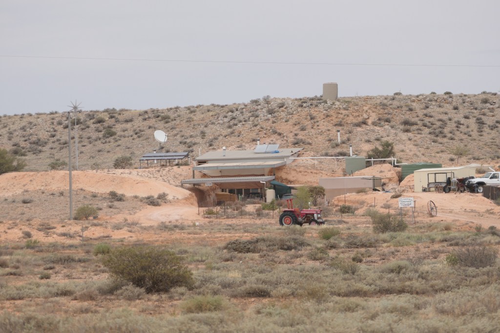
Driving into Cobar Peddy, this is a underground B & B on the side of a hill

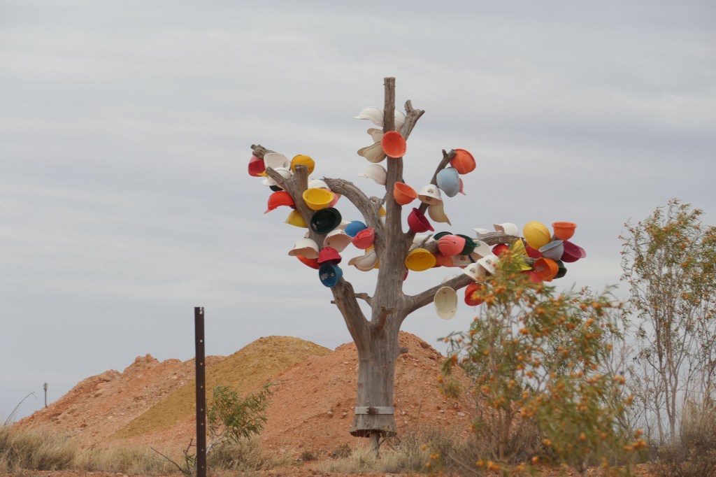
a ‘hat’ tree

operational wind farm

working mine

our camp spot

had a few of these

sections of road -very good

always seeing cars parked up!!!!!!!

QLD here we come

cattle in good nic

Entering Boulia

Boulia

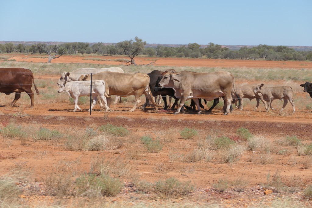
Moo’s on the move as we drive to Mt.Isa

William Creek – (2)

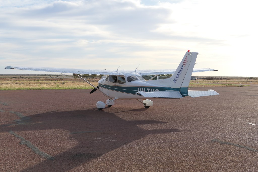
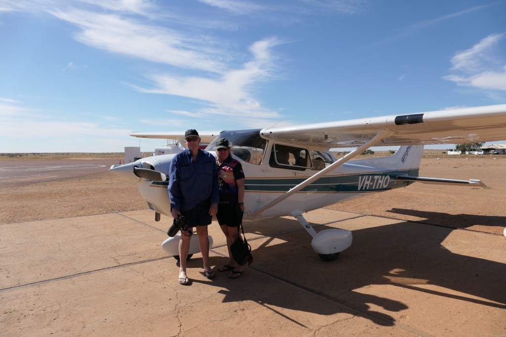
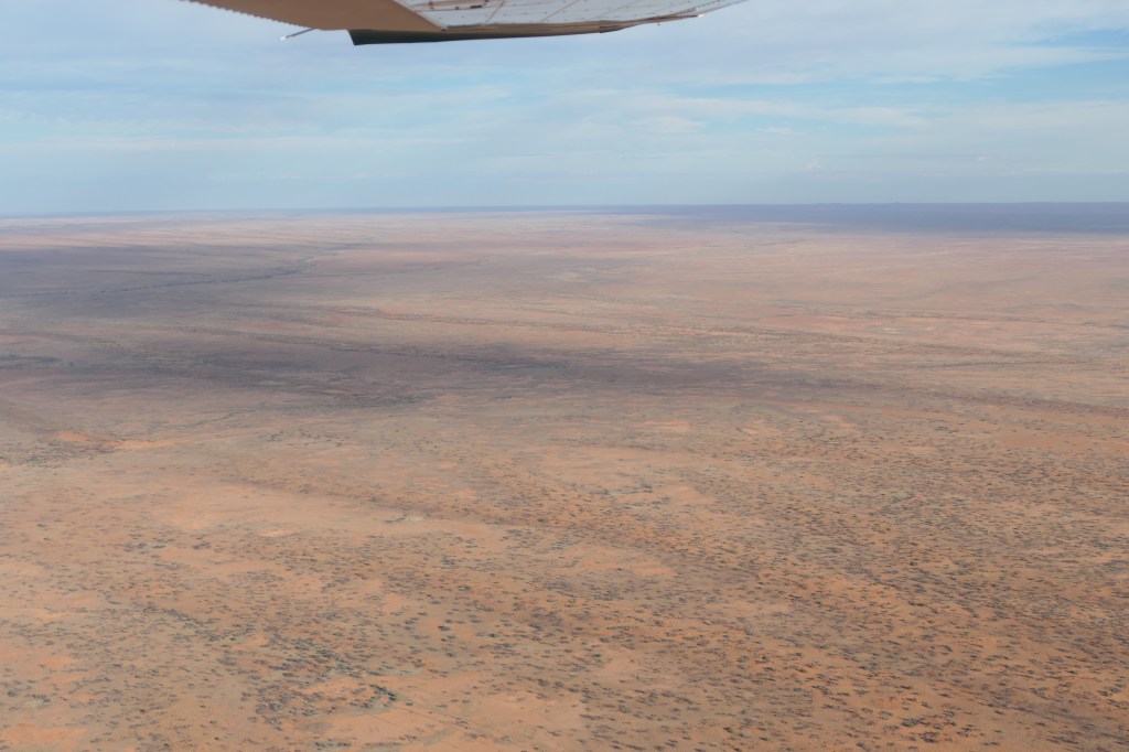
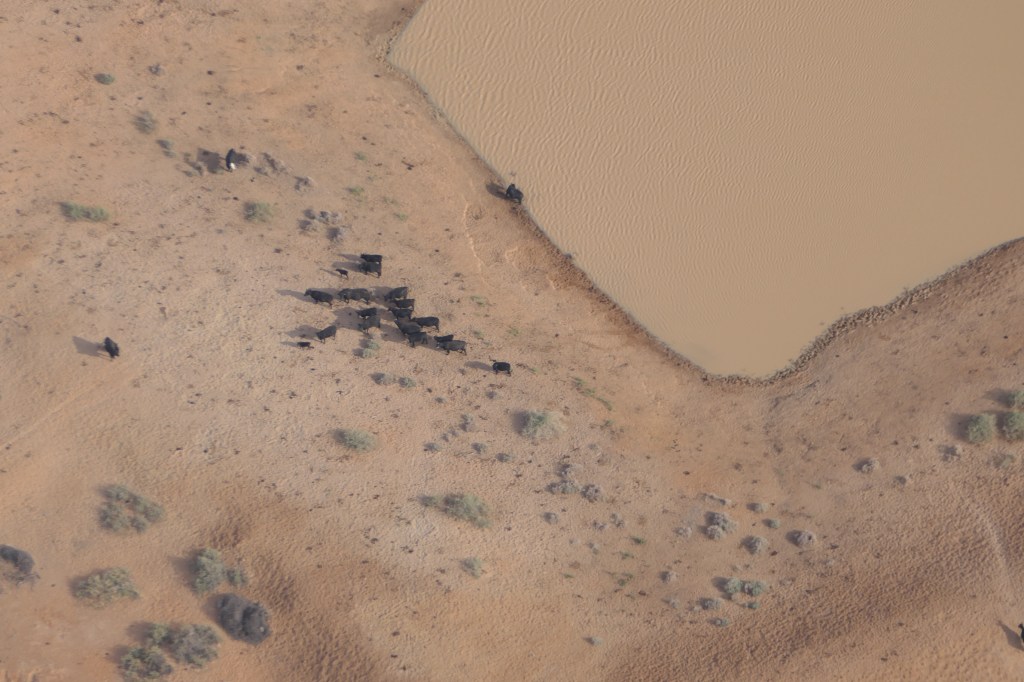
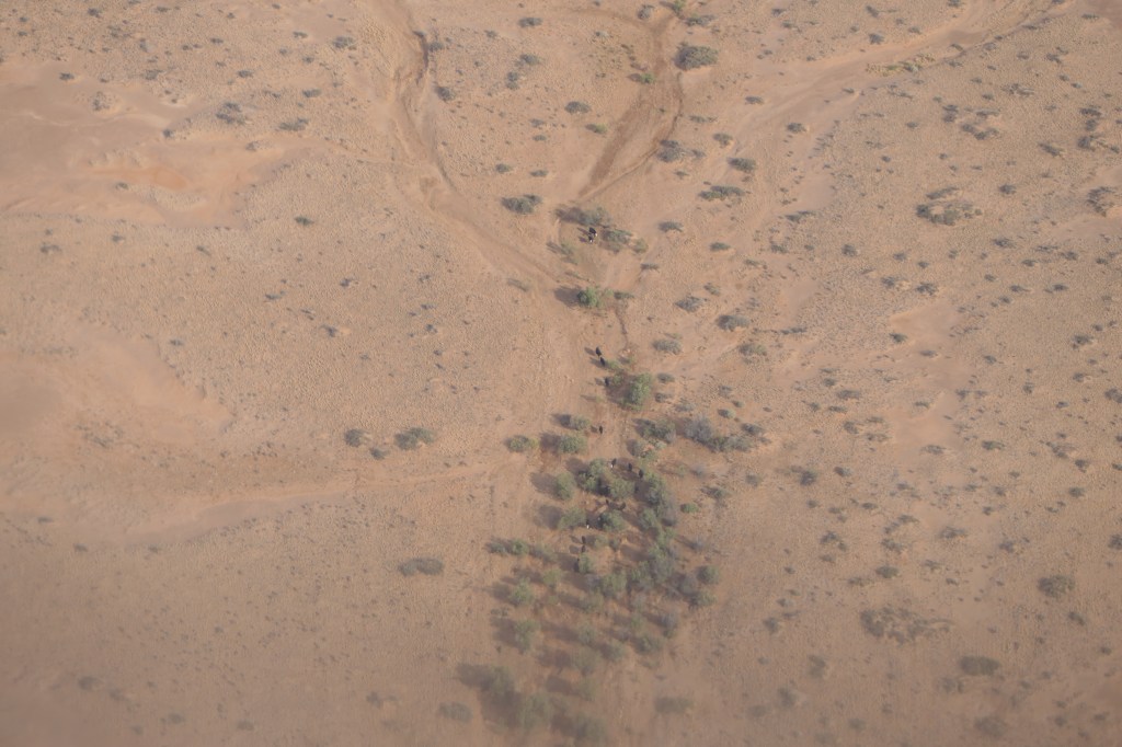
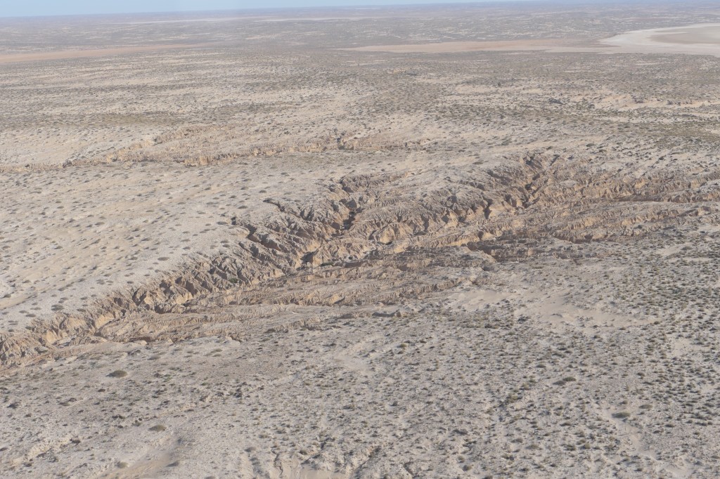
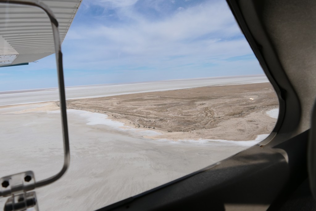
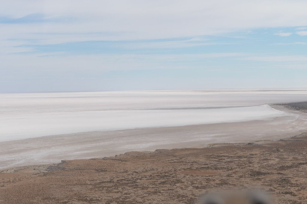
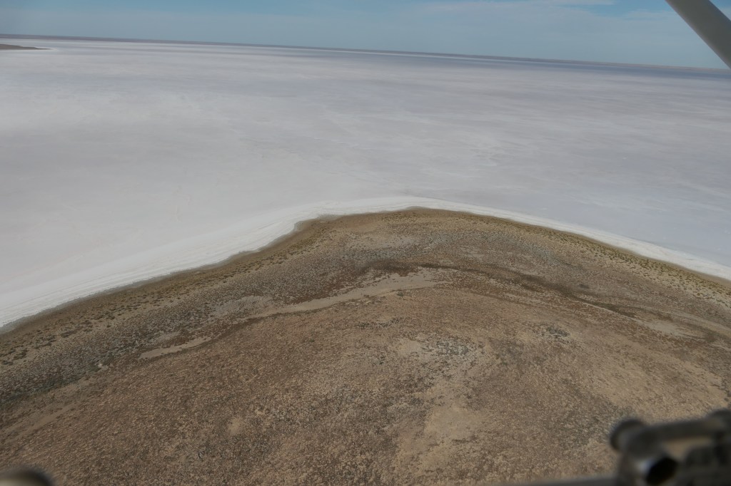
We treated ourselves to a flight over Lake Eyre, no water but still an amazing experience & our pilot did a great job with hardly any bumps. William Creek is surrounded by Anna Creek Station which happens to be the largest working station in not only Australia but the world, it is 23,677sq klm which is slightly larger than Israel. There are scattered water points/or dams approximately every 10klms, we saw a few cattle at some of these on our flight. The following photos are taken while flying over north & south Lake Eyre – it was a great experience.

Woo ho – here we go…..

overlooking a small section of Anna Ck Station

cattle at one of the many dams/water points

Erosion caused by previously heavy rain

mist rising from the salt lake

Donald Campbell set his land speed record in this section of the lake.

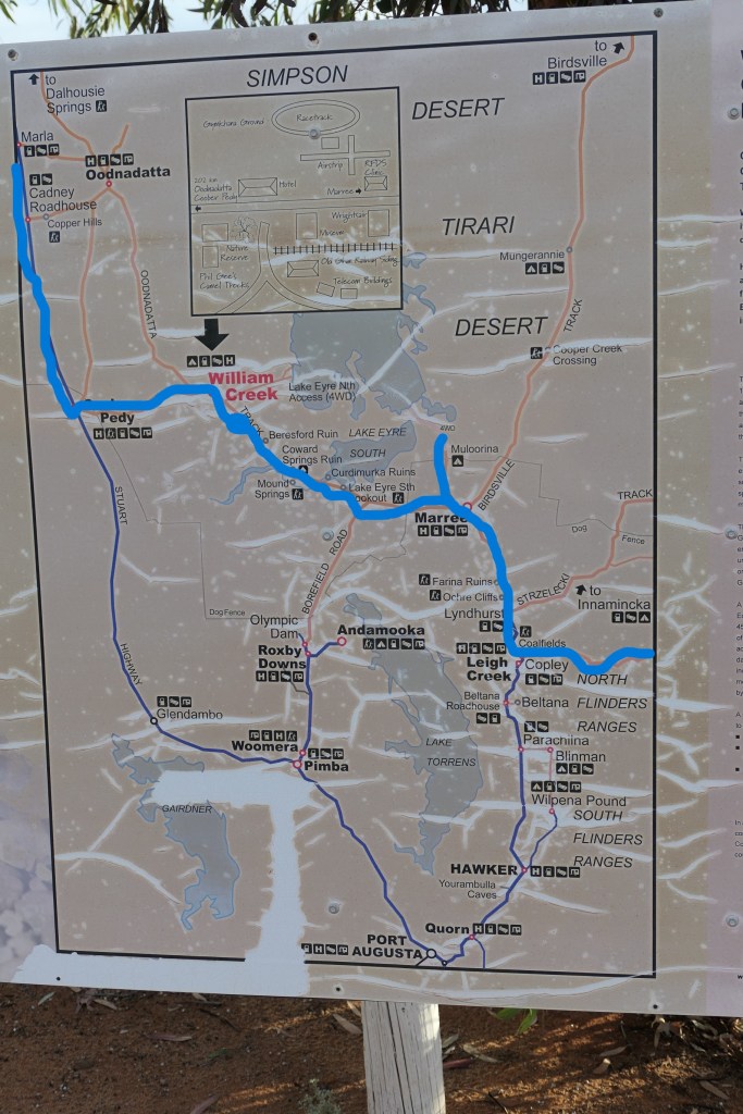
The blue line follows the track we drove, on the map Arkaroona Wilderness to Copely, Marree, William Creek, Cobar Peddy up the Stuart Hwy towards Alice Springs.

We were advised in William Creek not to go to Oodanatta unless we wanted to be stuck there as there was rain forcast. It was good advise, we stopped at Cobar Peddy, fuelled up us & the ute & headed north, the skies opened, not too heavy at first, we camped up approximately 12oklms south of the NT/SA border, just got set up & the rain came down. It rained all night, at 0730 hrs the rain stopped so we shut up camp & drove on, the rain returned, we drove through to Alice Springs & camped in caravan park for 2 nites – it was very cold until the stopped.