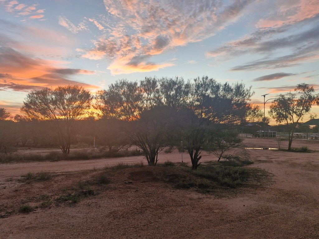
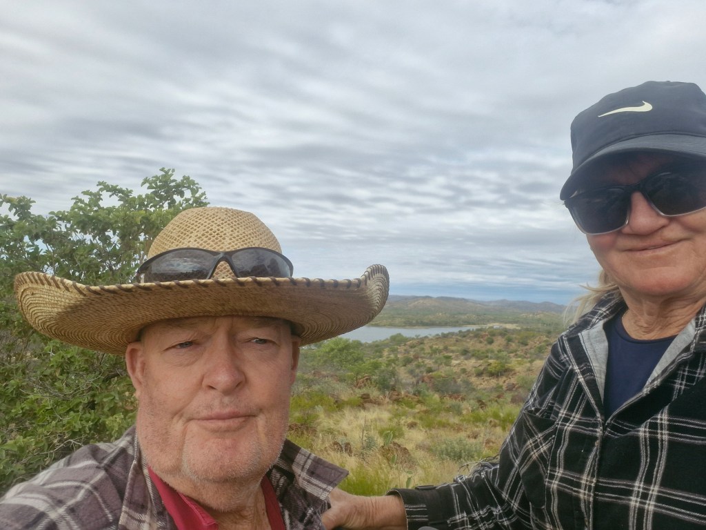
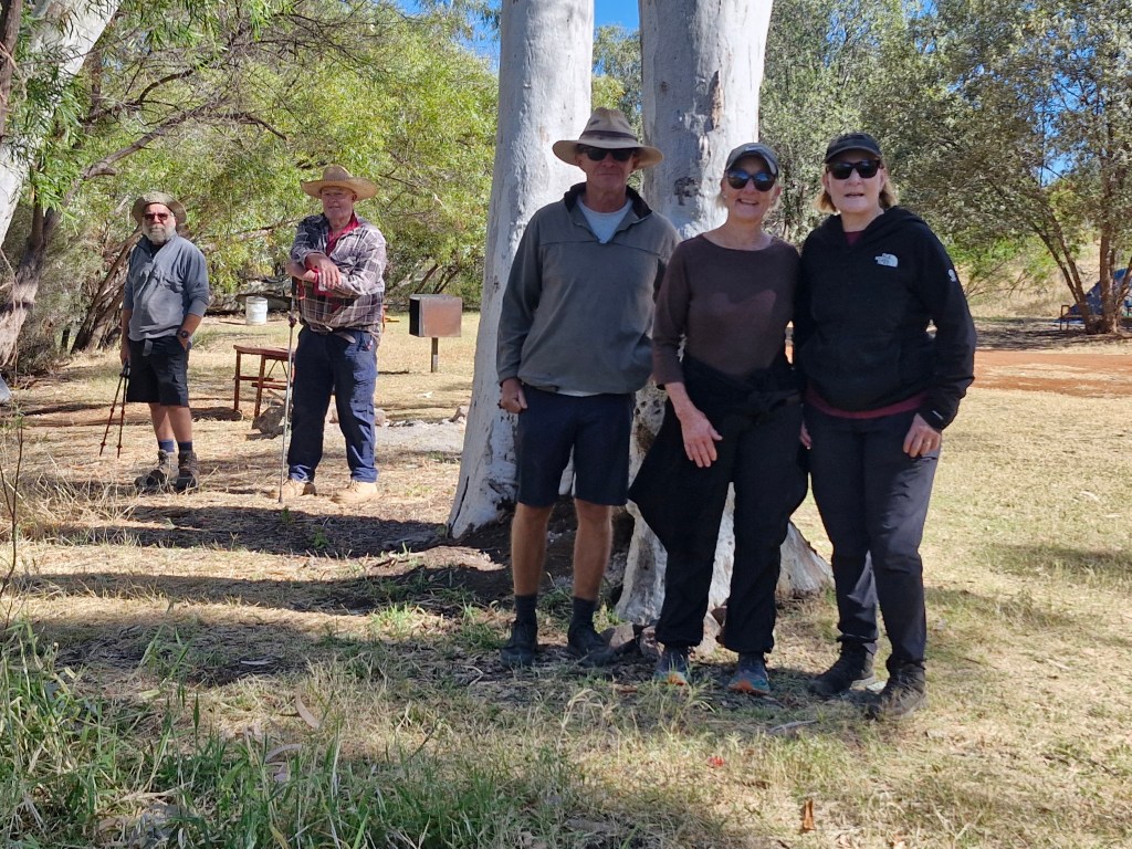
June, July 2026
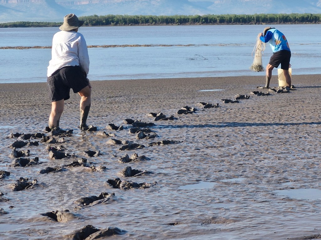
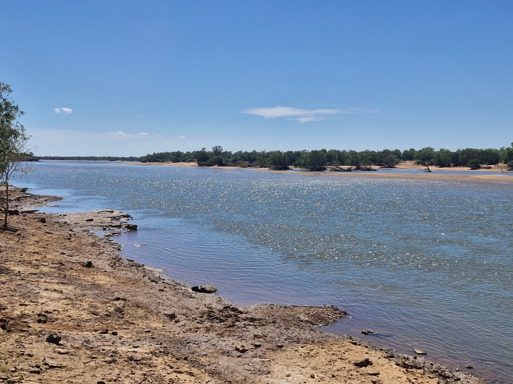
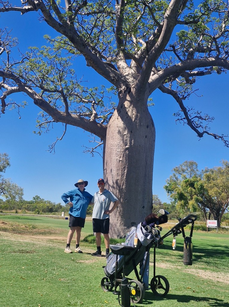
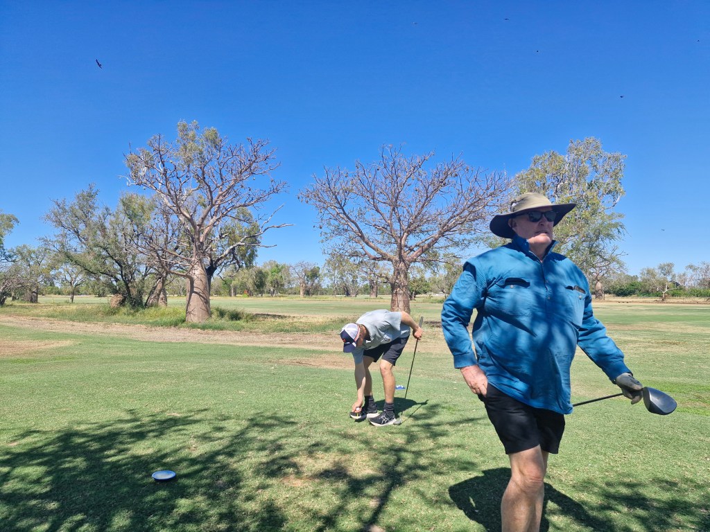
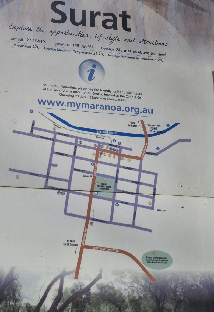
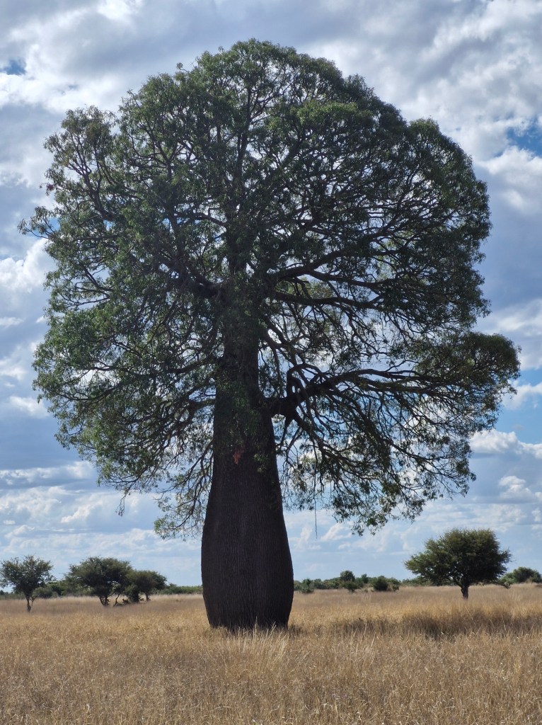
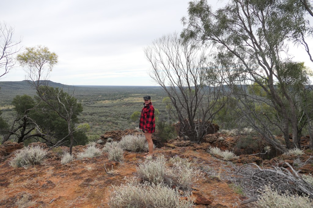
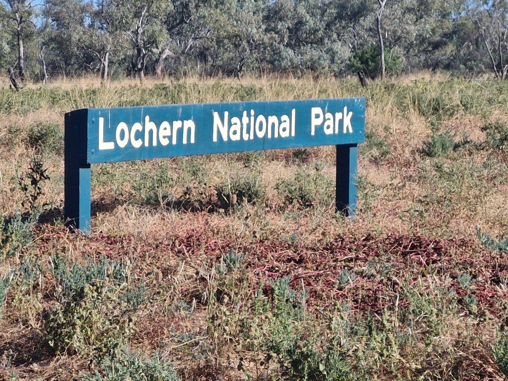
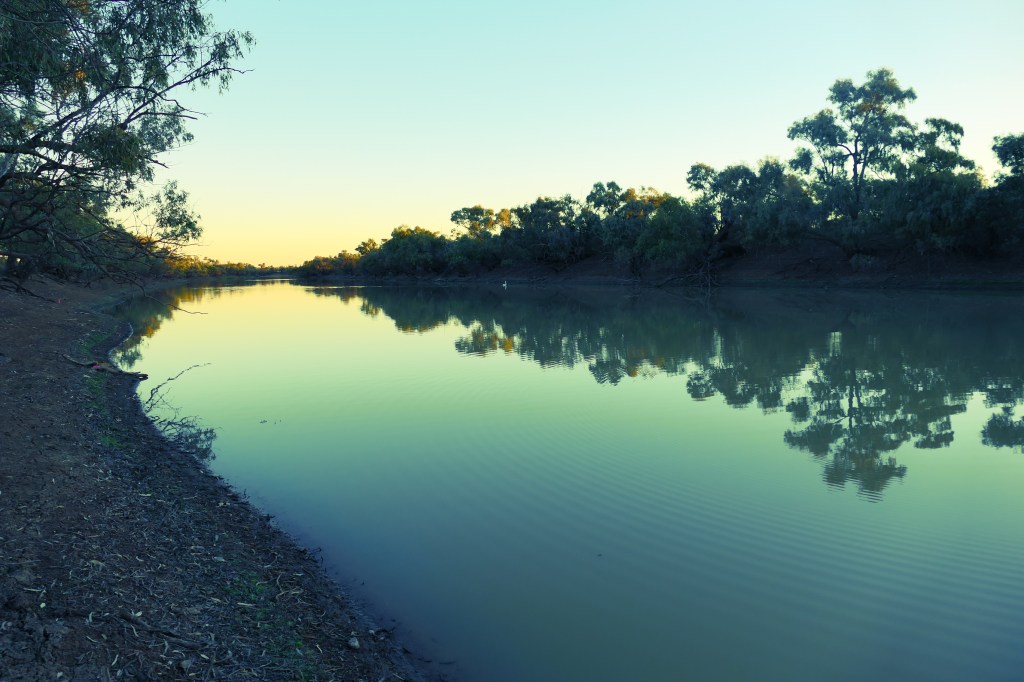
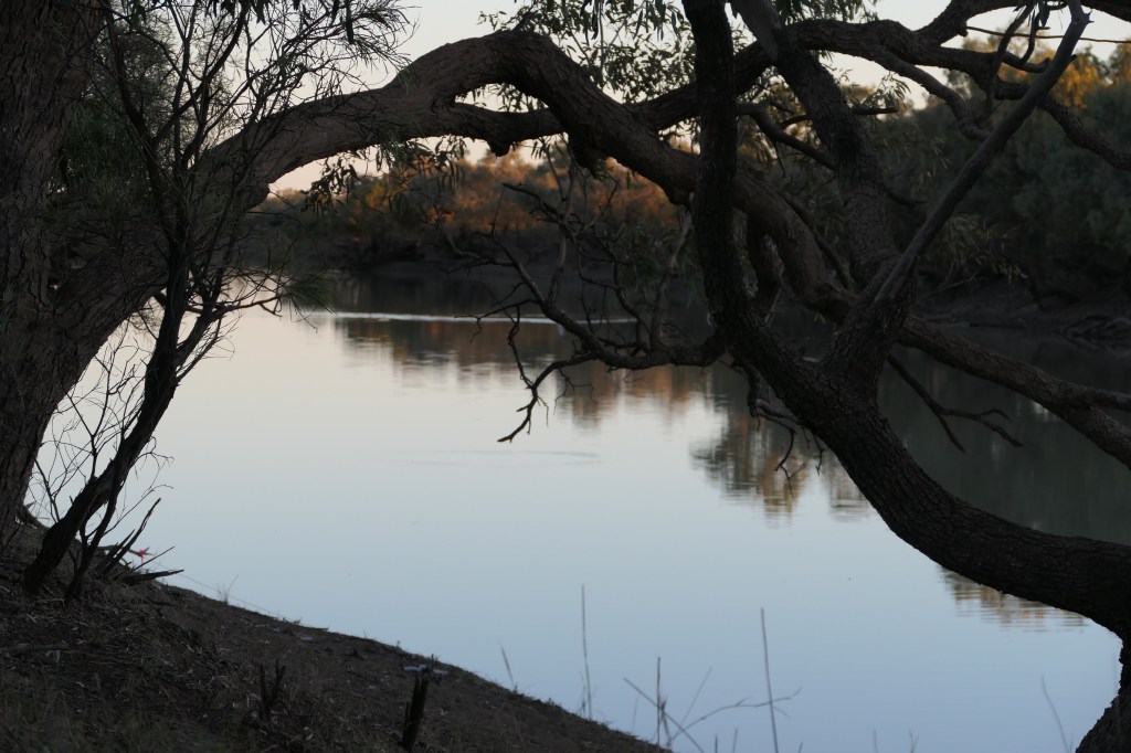
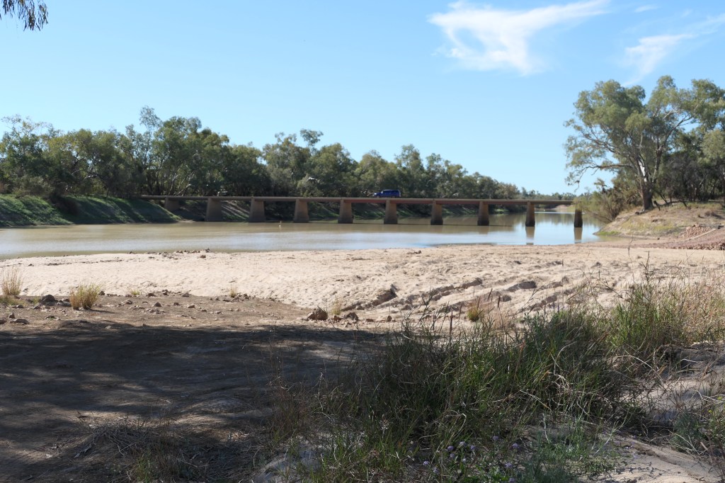
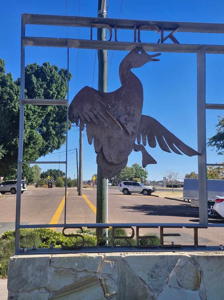
Derby (approx 80klms NE of Yakka), a town in the West Kimberleys of WA is one of three towns in the Kimberleys that has a population of over 2000. Located on King Sound, Derby has the highest tides in Australia, with the differential between low and high tide reaching 11.8metres. Derby is famous for the ancient boab trees which are truly magnificent, it is the western gateway to the Gibb River Road – a legendary 4WD track offering access to many stunning gorges like Windjana Gorge, Tunnel Creek National Park & many more. While Peter was at golf I had a wander around Derby, WA – it is quite an interesting town & has many hidden gems. The wharf is amazing; I was there at low tide – mud for miles.
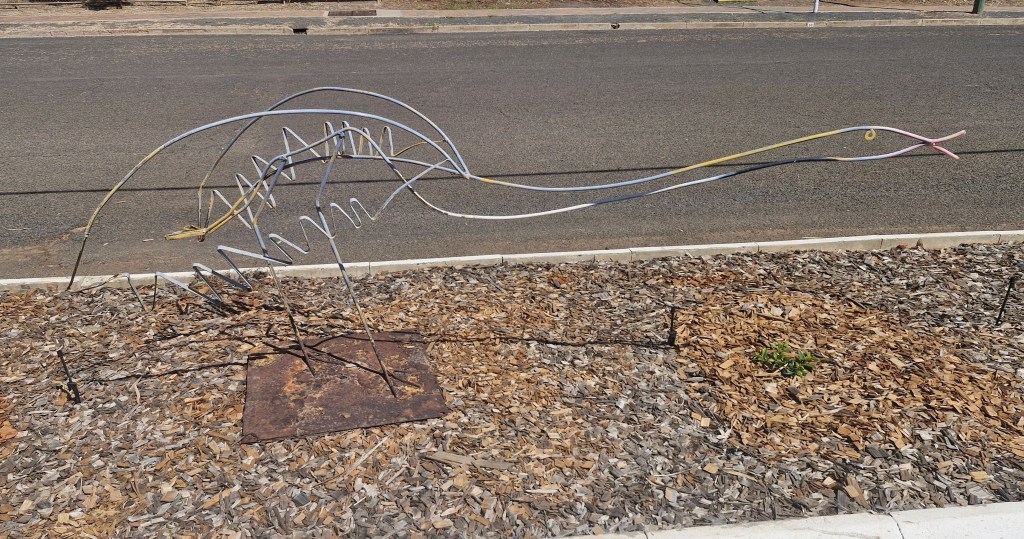
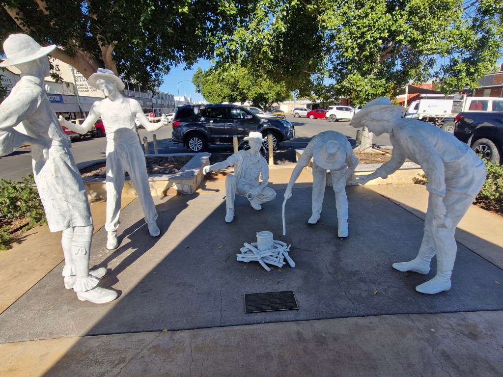
‘Sculptures of the Marsh‘ is a great little 1.5klm walk, the sculptures are as follows: Contemplation – is a portrait of Kelvin Kelly, an art student at Derby District HS, he was about to perform in a Djunba (an ancient ceremonial dance). His face showed emotions of apprehencsion & nervous ness but was outweighed by a sence of pride & honor. Outback Football – this sculpture made prodominately out of rusty car wrecks is a tribute to all the amazing indigenous AFL footballers, the helmet like heads harp back to the indigenous pearl divers that fished the rich tidal waters of King Sound. Kimberley Ringer – the Indigenous Ringers intimate knowledge of the rugged landscape, their survival & horsemanship skills formed the backbone of the early attempts to populate this vast shoulder of Australia with sheep & cattle. Kimberley Moonrise Girl – a portrait of local Derby girl Kirstene Jack who is a visual artist in Derby & faces the hardship of Kimberley life. A halo has been positioned around Kirstene’s head as a mark of honor for all Kimberley women who have suffered aand conquered adversity. Brolgas – are Australia’s only member of the crane family & are often seen in Derby’s marsh and surrounding wetlands, it is a graceful bird & is famous for its flamboyant dancing displays during the mating season. Family – the family unit is the most important thing in our lives & is the major force in shaping our identity. Mud Crab – created by a local artist of the Warwa Language Group. For the Warwa people the act of spearing mud crabs was a means of obtaining food as well as a way to connect with their ancestral lands and traditions, spearing required skills, patience and knowledge of the environment. Stingray – also known as Jinnup in the Nykina language is a crucial food source for the indigenous along the Northern Australian coastline. Crocodile & Egret – the saltwater crocodile, the largest reptile in the world, is casually peering above the water with a brave little egret sitting on the back of its head, the egret represents peace & connection to the land, sea & sky. River Snake – a testament to the Martuwarra River also known as the Fitzroy River (700klms long) is a sacred & precious body of life that teaches us to connect & love our land as it weaves it’s way throughout all corners of the Kimberleys.

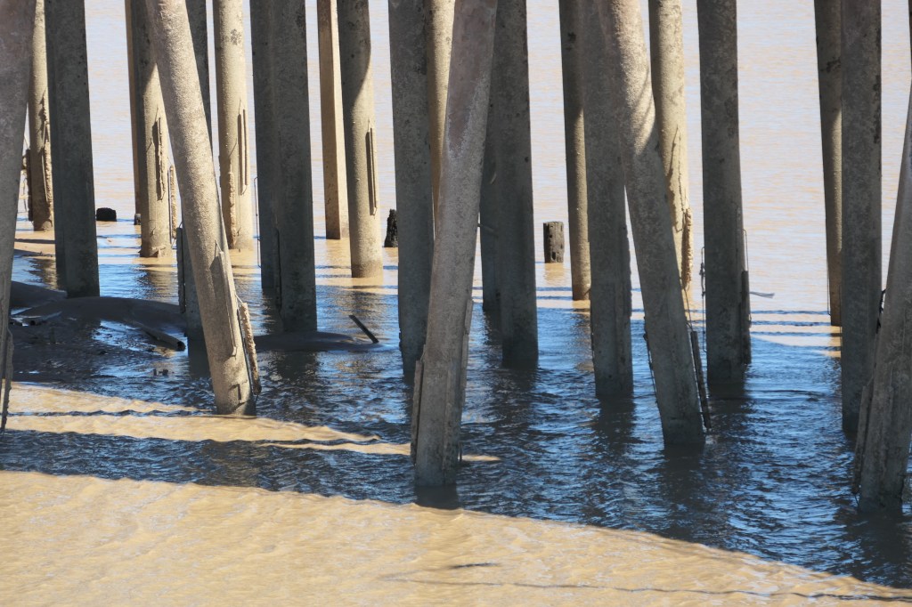
Derby jetty

low tide at the jetty
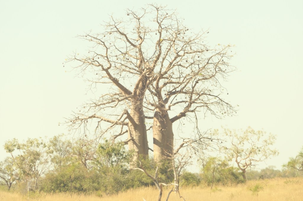
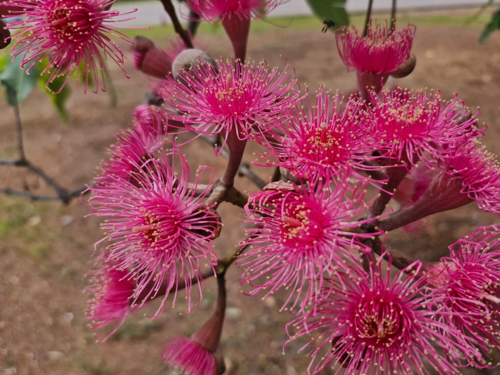
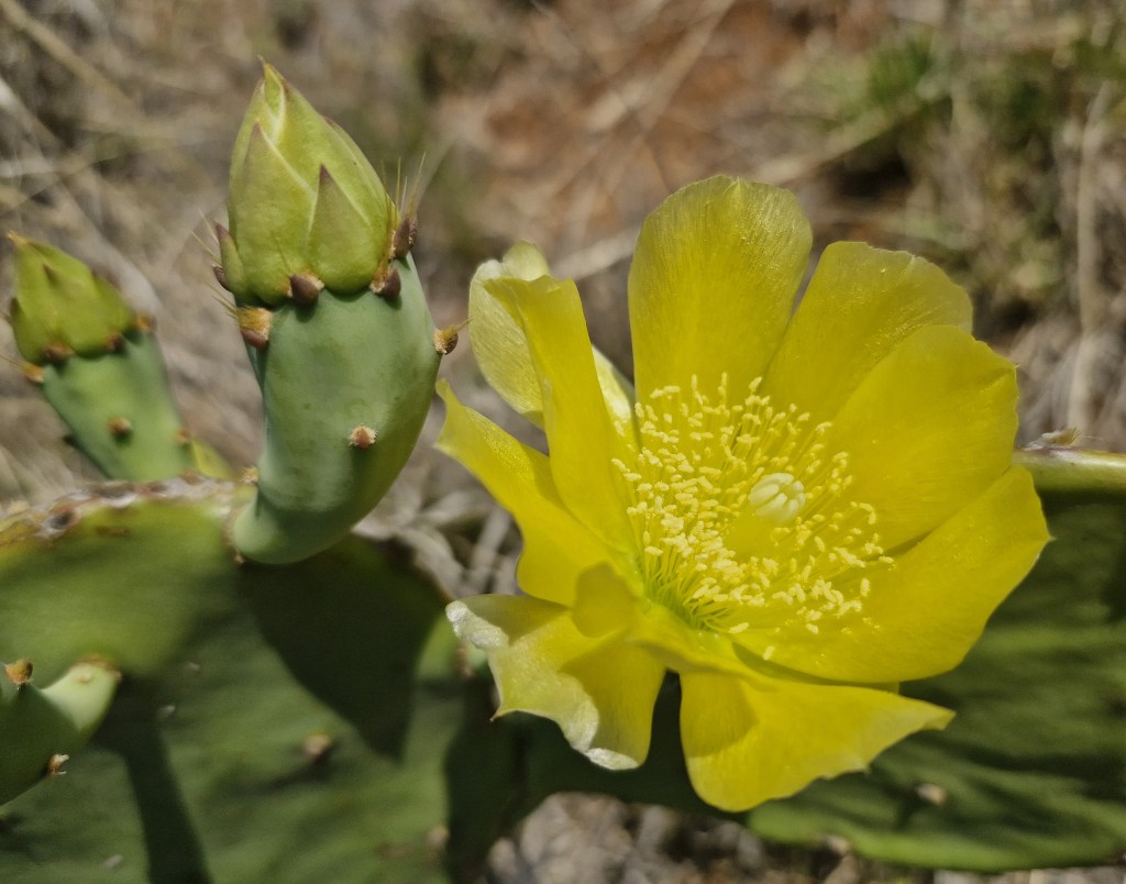
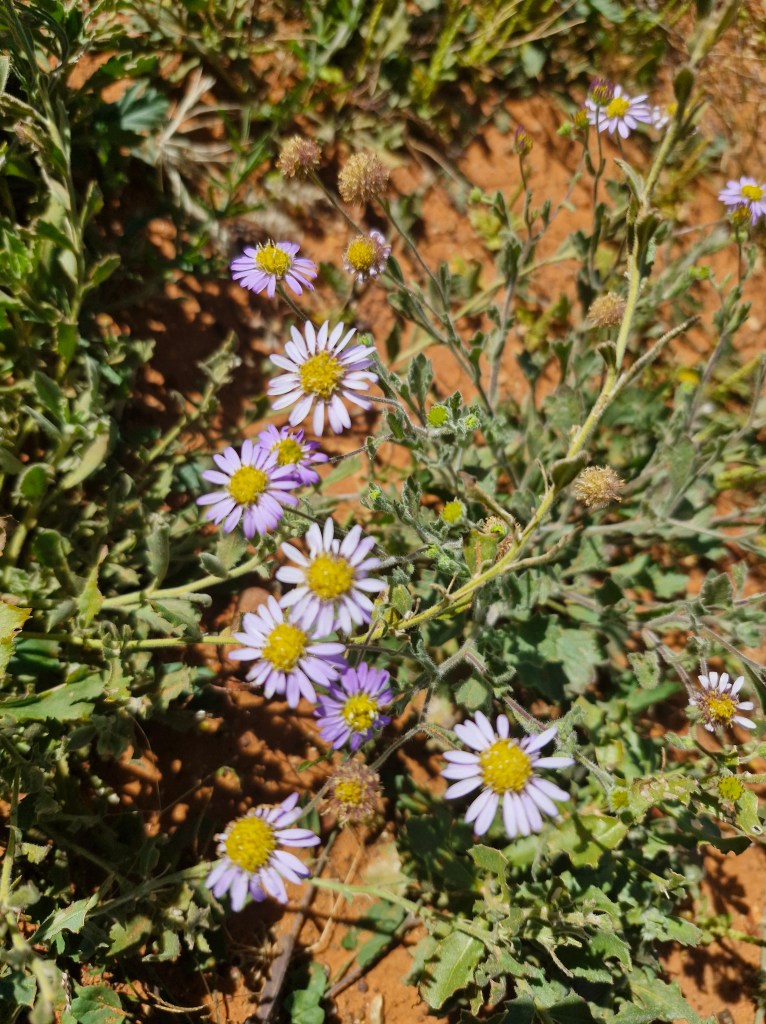
the ‘amazing boabs’
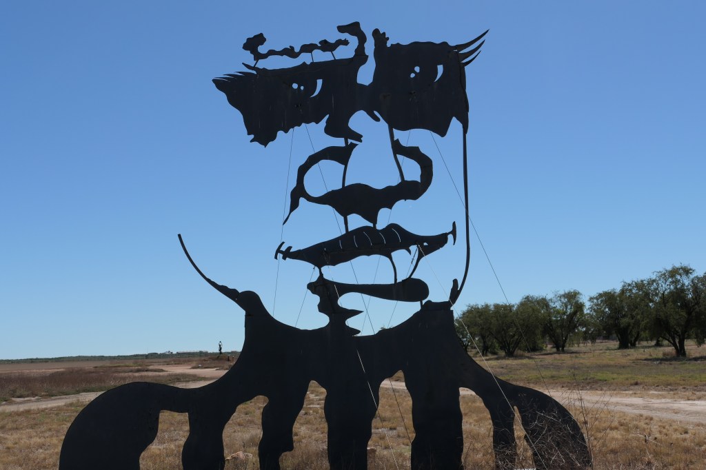
Contemplation
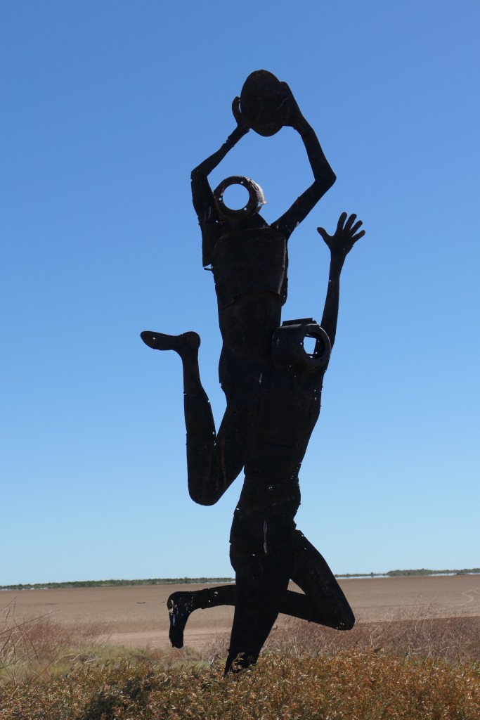
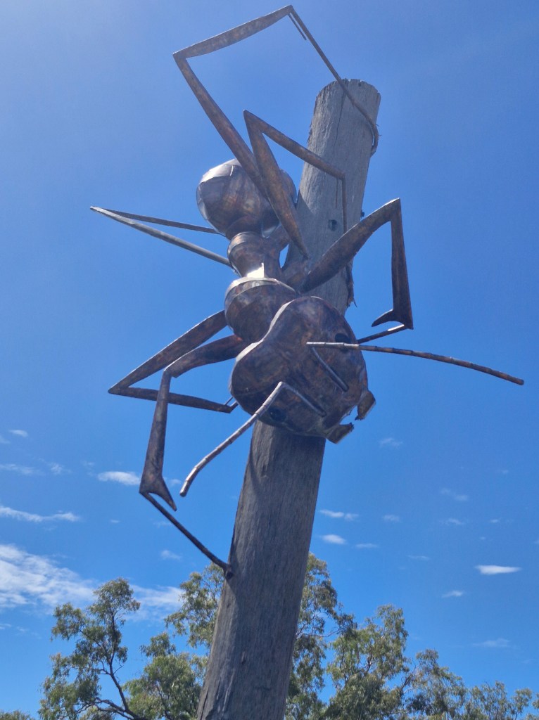
Outback Football
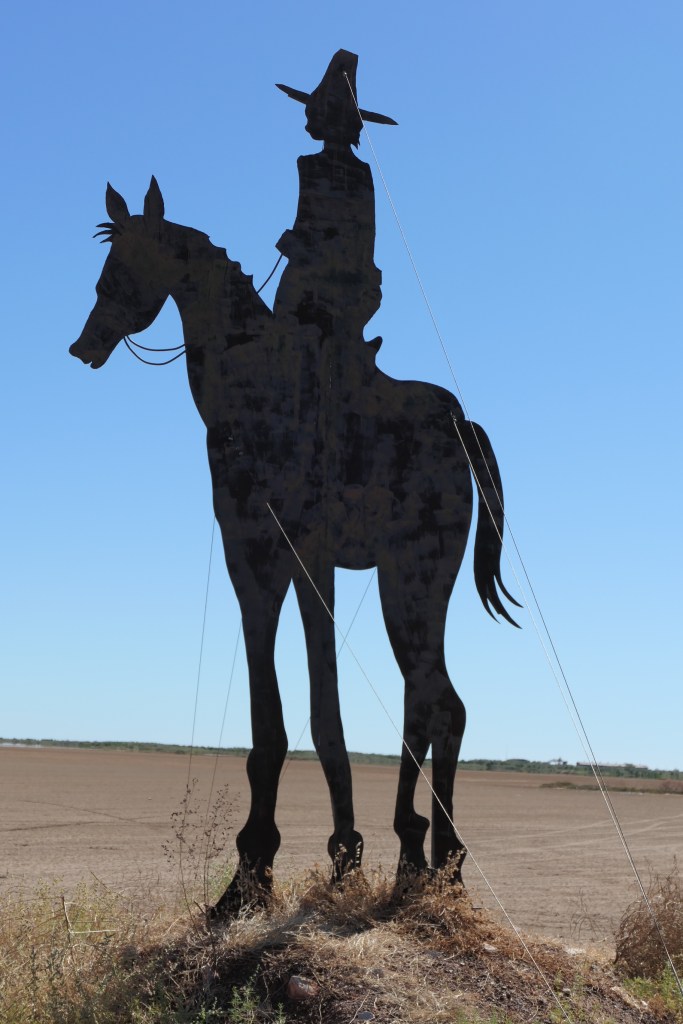
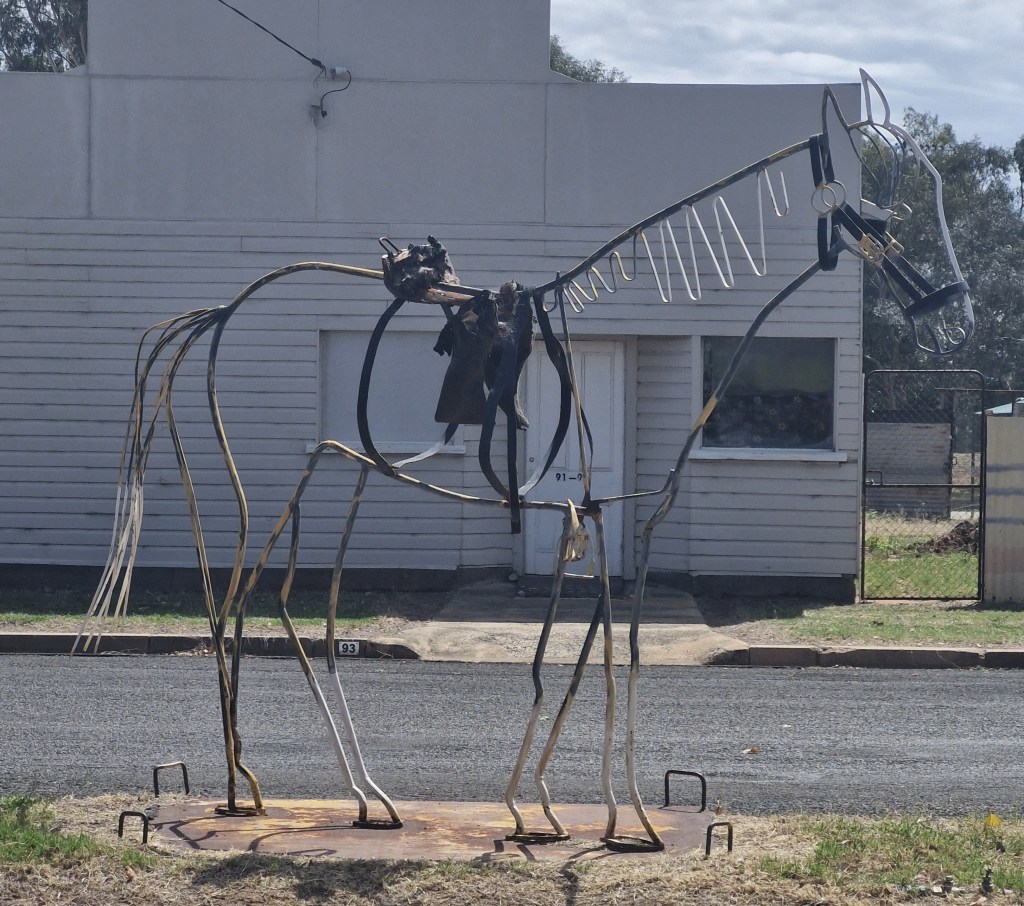
Kimberley Ringer
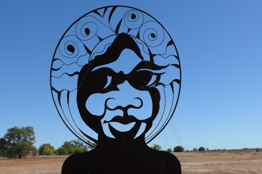
Kimberley Moonrise Girl

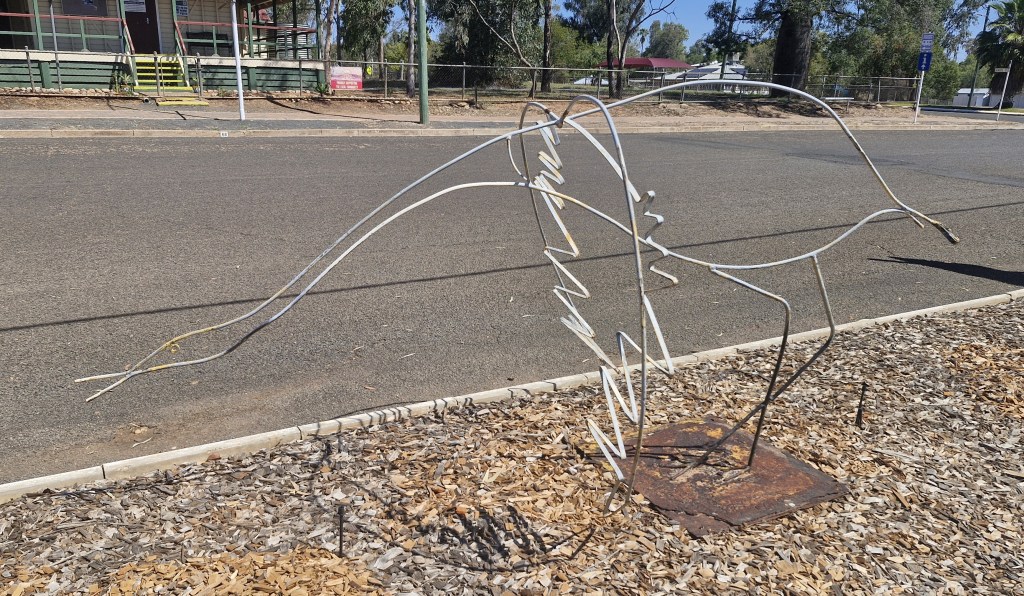
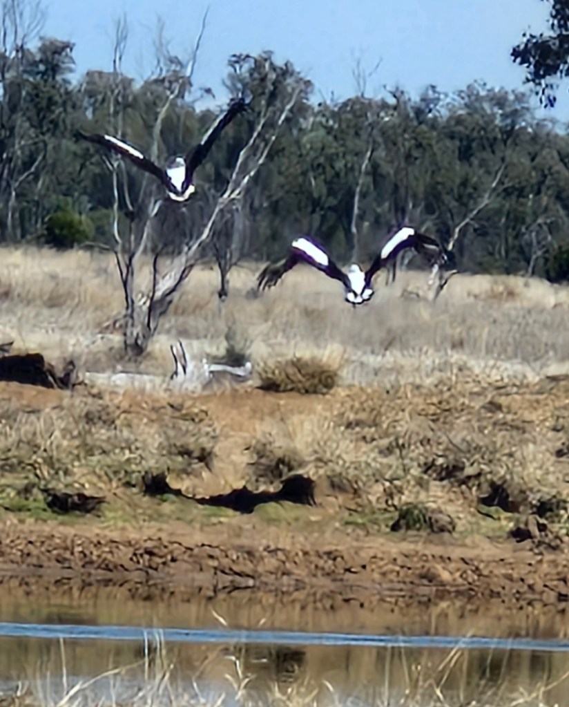
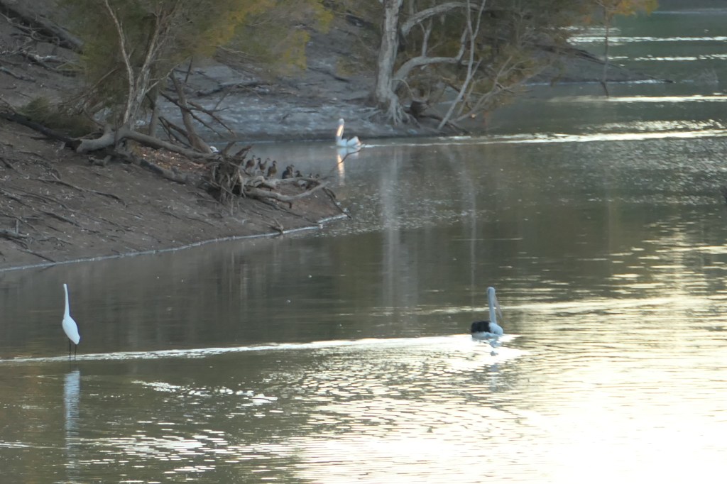
Brolgas

Family

Mudcrab
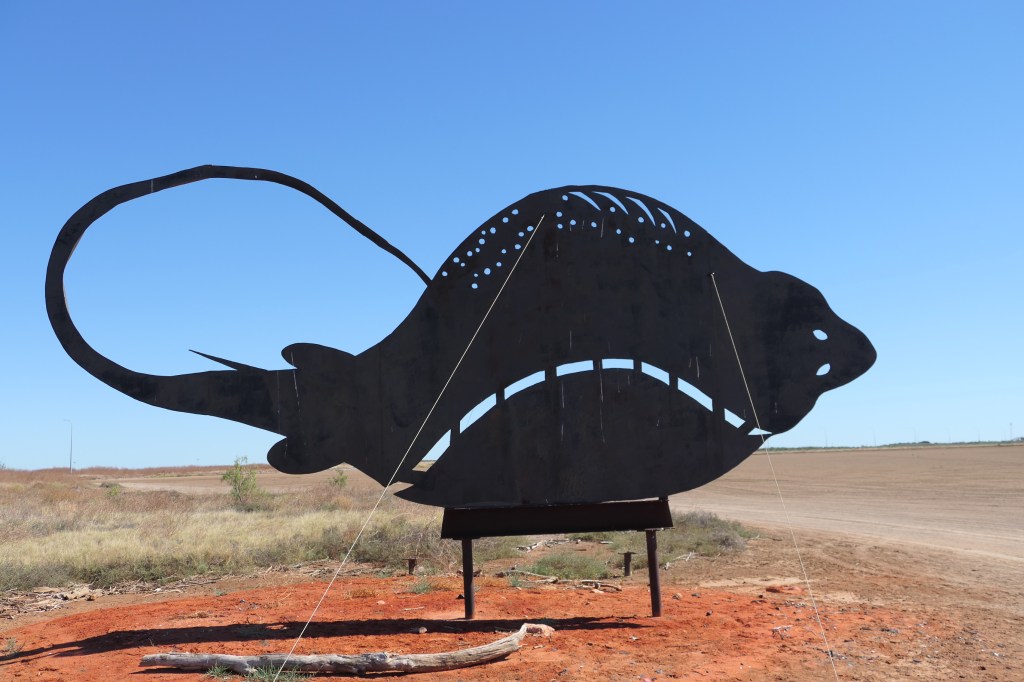
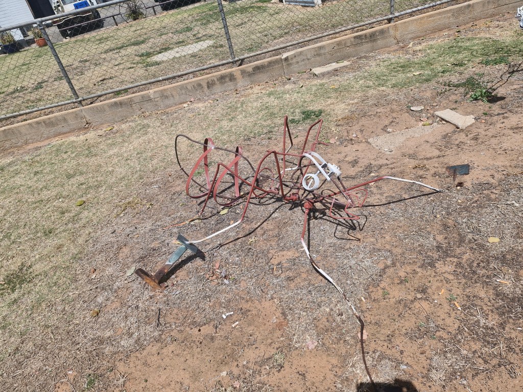
Stingray
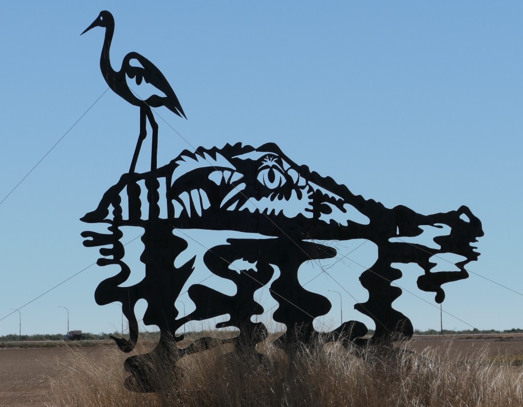
Crocodile & Egret
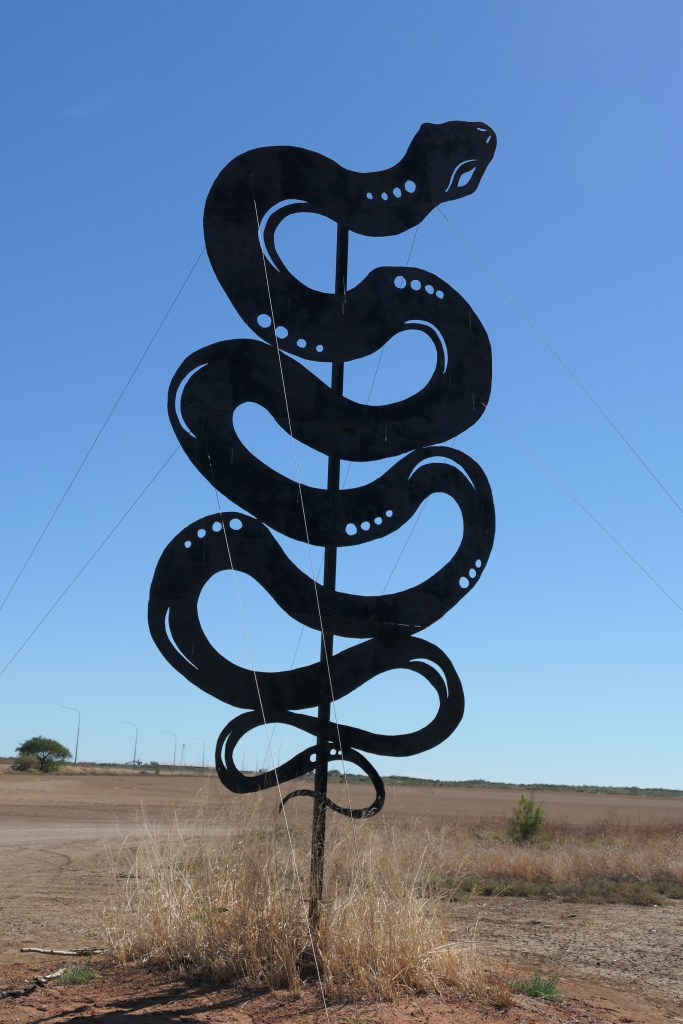
River Snake